
 Highest point
 Lowest point
 Sum of driveways
 Sum of downhill
 High slope sections
 Slope
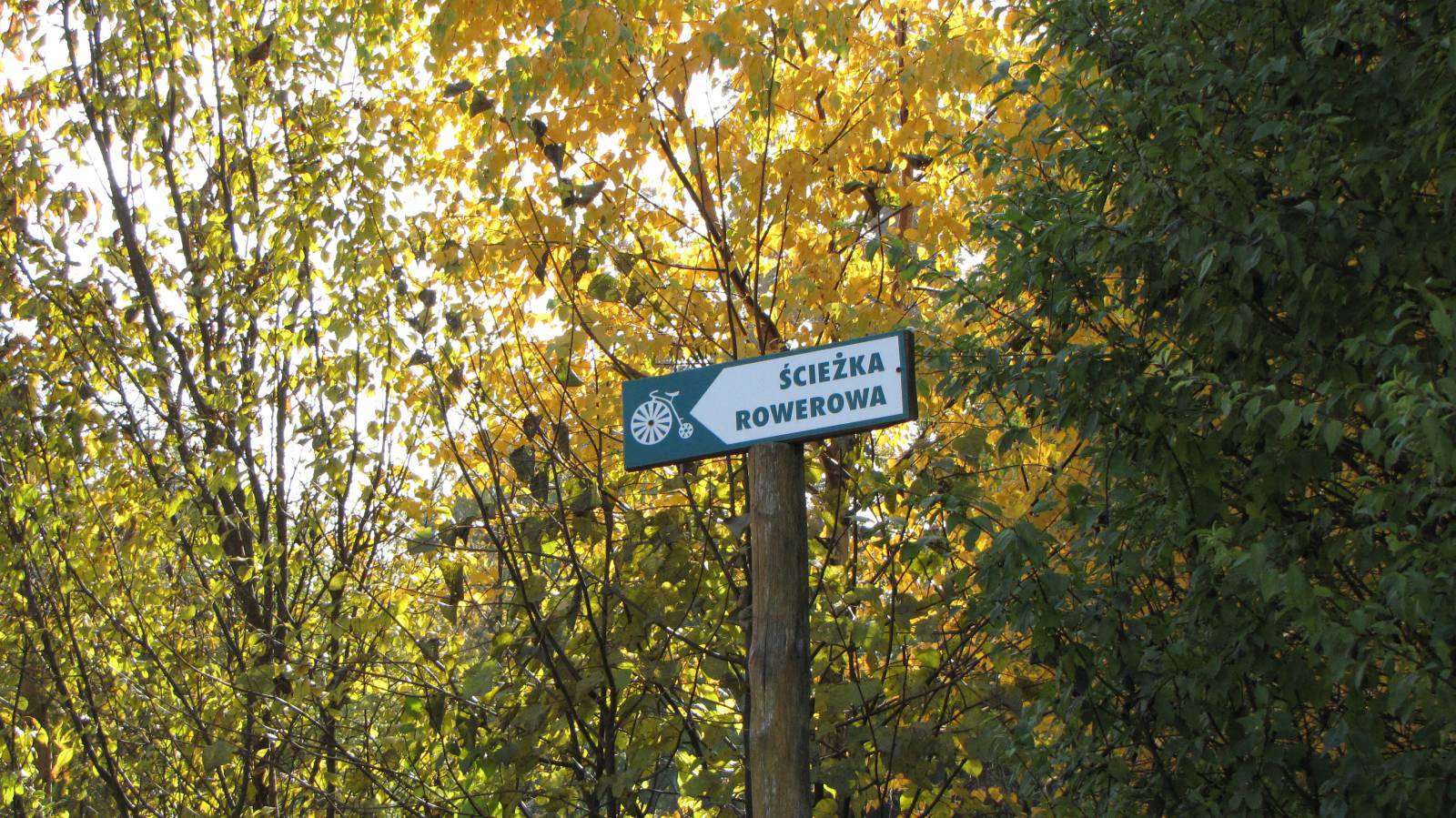
Slope Marking
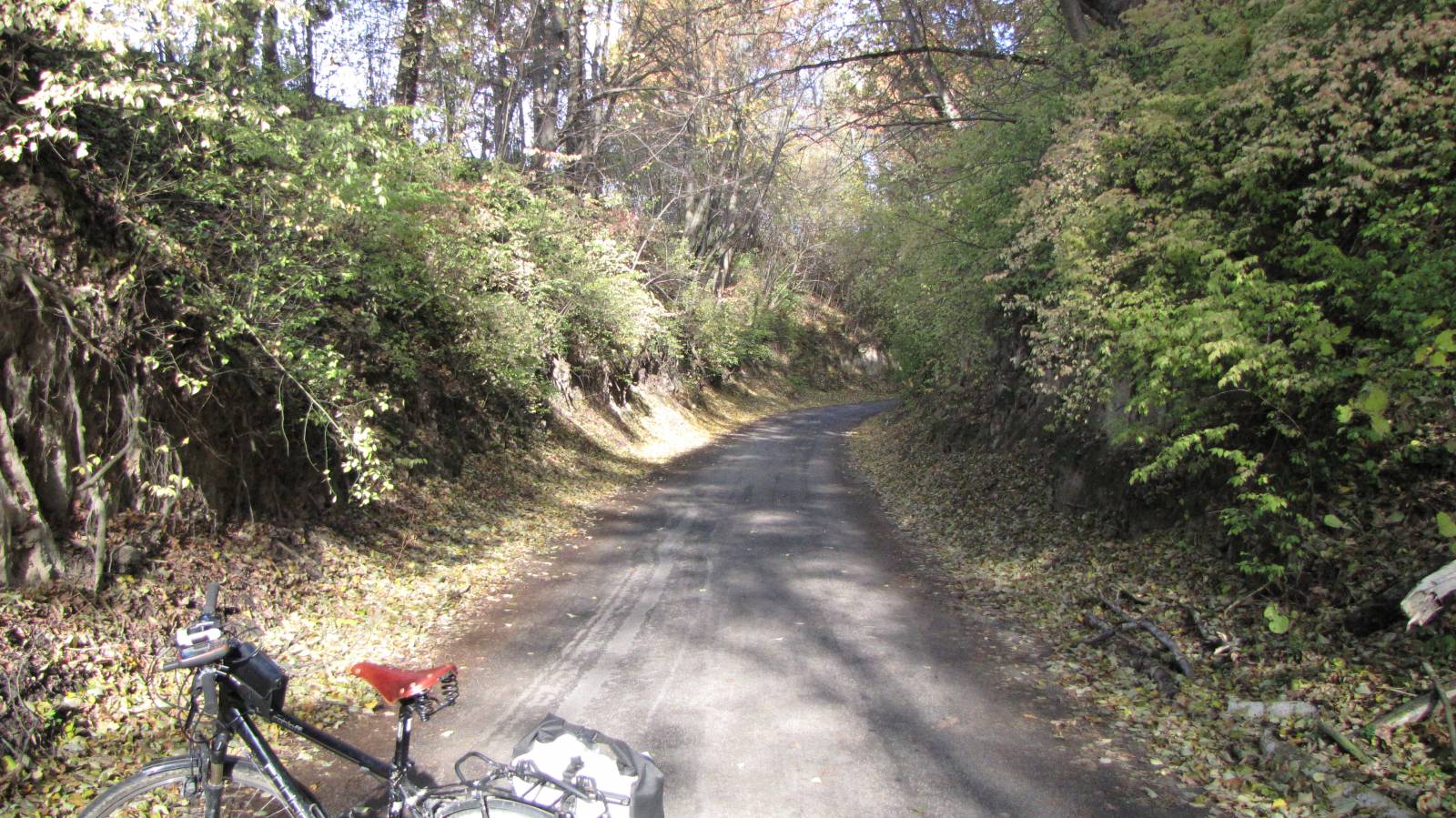
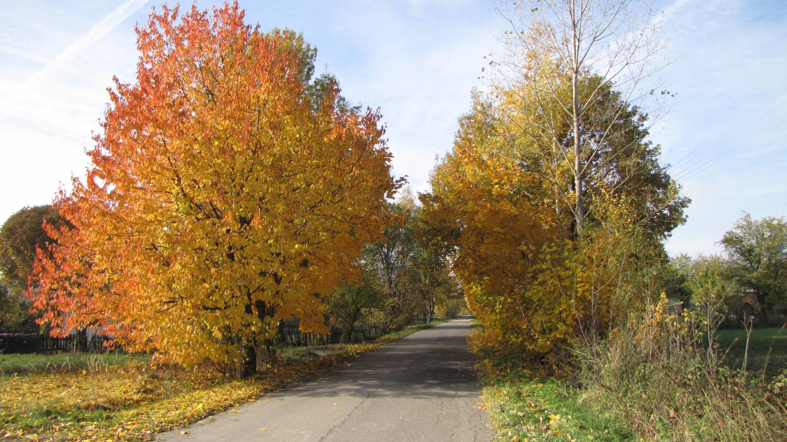
The Water Pit Trail is a short recreational route, just 17 km long, marked out in the vicinity of the locality of Krasnystaw. The trail runs to the "Wodny Dół" nature reserve, where there is a picturesque loess ravine. The trail is suitable for a short bike trip, has an unusual marking and is accessible to every cyclist, regardless of physical condition. It runs through several small villages, located near Krasnystaw. Apart from a short section of dirt roads, it runs mainly through non-used asphalt roads. The entire trail is suitable for bicycles with panniers/bike trailers. The trail runs only on roads without road traffic or on local roads with a low and very low traffic; no dangerous intersections.
The general course of the trail is as follows: Krasnystaw (0.0 km) - Niemienice (5.3 km) - Niemienice Kolonia (7.3) - "Wodny Dół" reserve (9.3 km) - Krasnystaw (17.0 km).
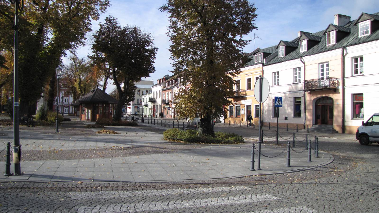
The trail starts and ends in the western part of the locality of Krasnystaw. The town received city rights in 1394 at a place where the castle was located a bit earlier. It was a royal city surrounded by walls, serving as a fortified settlement administrative district. From the 15th to the 19th century it was the seat of the Chełm bishops. In the 17th century, next to the castle, an Augustinian monastery complex was constructed, and in the 19th century it was turned into a barracks. The castle and city walls were destroyed during the Swedish wars. In the 18th century, the most valuable Baroque monuments of Krasnystaw were created and they still exist today: the Jesuit Collegium and the St. Franciszek Ksawery Church and the seminary building. Currently, the Regional Museum is located in the buildings of the Jesuit Collegium.
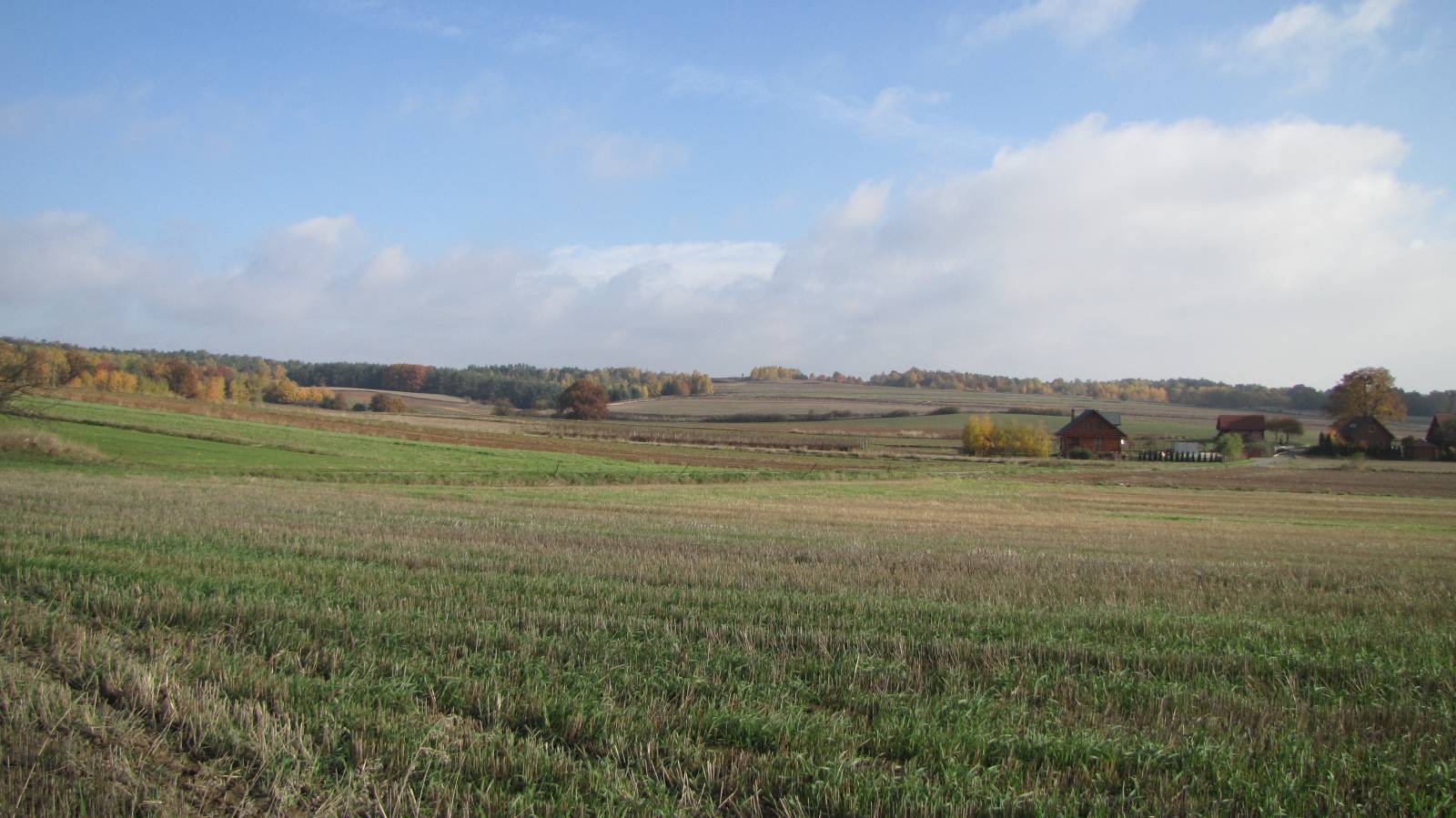
The route runs slightly uphill to the areas of the Giełczewska Upland. The central part of the Lublin Upland is located between the three rivers, the Bystrzyca, Wieprz and Pore. It is made up of hills, built of resistant limestone. Here and there are loess patches - silty soil formed during the glaciation period, the thickness of which reaches a dozen or so meters. It consists of very fine grains of sand, actually dust. Layers of loess were formed in the ice age on the foreland of the melting ice sheet, when strong arctic winds blew sands, embedded by melting glacial waters, forming dunes. In this way, a thick layer of loess rock was formed - here and there a dozen or so meters - on which fertile black and brown soils developed.
Such a geological structure favours the creation of numerous ravines and arroyos throughout the entire plateau, reaching a length of several kilometres and a depth of up to several dozen meters. Local people call them "pits" or "V-shaped valleys". In many places V-shaped valleys form branched off systems, reaching up to 2 km in length.
The most interesting place on the route is one of such ravines, located in the "Wodny Dół" Nature Reserve. It is typical for these areas, quite a large ravine, carved out as a result of water and human activity in soft loess soil. Indentation is deepening over the years, which is why the ravine is protected. Numerous tree roots are visible on its banks, which strengthen the soil and make it difficult to wash away loess.
Points of interest along the trail:
- Krasnystaw - monuments of the city
- Ravine in the "Wodny Dół " Nature Reserve
A recreational trail.
Starting point:
Krasnystaw, the corner of Piłsudskiego and Sobieskiego streets
Finishing point:
Krasnystaw, the corner of Piłsudskiego and Sobieskiego streets