
 Highest point
 Lowest point
 Sum of driveways
 Sum of downhill
 Slope
Slope Marking
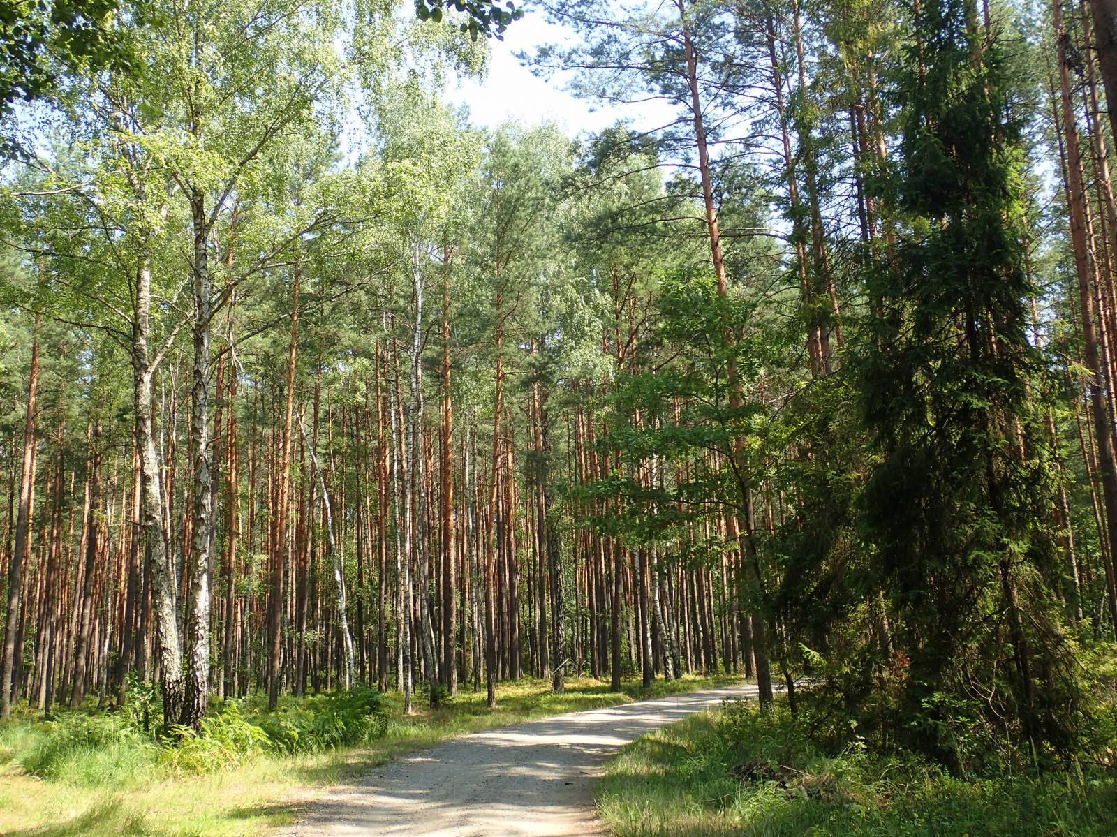
The Clay Pots Trail is a recreational trail, marked out by the Janów Lubelski Forest Division. It is a bit longer than 20 km and runs entirely through a vast, compact complex of the Janów Forests. The name of the route is somewhat misleading because the aspects of forest management, nature protection and forest protection are definitely the dominant features of the route. We can see clay pots in the nearby village of Łążek Garncarski, where this traditional craft is still practiced today. However, it is not on the trail.
The general course of the trail is as follows: Janów Lubelski, Obrówka (0.0 km) - Szklarnia (5.4 km) - the inn, forest nursery (14.2 km) - Kruczek (19.0 km) - Janów Lubelski, Obrówka ( 22.0 km).
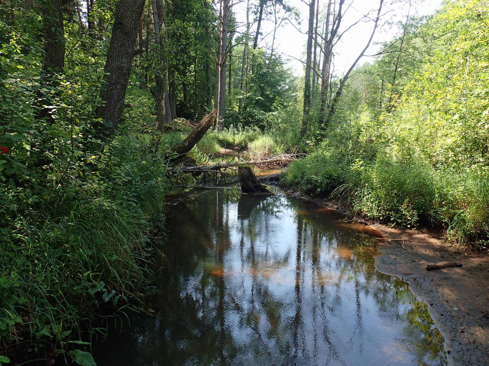
The proper name of the trail is the Janów - Szklarnia – Kruczek Bike Trail. It was marked out and signposted by the Janów Lubelski Forest Division. The starting point of the route is located at the Environmental Education Centre, which is currently managed by the forest division. Nearby is an open-air museum of old rolling stock, formerly used in forest management. From here, the route runs to the locality of Szklarnia on an asphalt road without signposting, but it is the only section without signposting on the whole route. In the locality of Szklarnia, it is worth seeing the Polish horse refuge. The name of the town comes from the former glassworks, which has not survived until today. From this place, the further bike trail stretches run almost exclusively in the forest. On the route there are many educational boards made by the forest division. They clearly illustrate methods to protect and manage forest areas, as well as the fauna and flora living in this area.
The trail runs to the “Gierłachy” forest tree nursery, where a roadside inn is nearby. You can take a shortcut going straight to the north, bypassing the nursery, and thus the route length will be reduced about 19 km. No matter which route option is chosen, the trail will lead the cyclist to one of the most interesting places along the whole route. This is the Kruczek forest wilderness, which commemorates partisans fighting during World War II. There are also wooden plaques and the Stations of the Cross in the forest.
From the Forest Wilderness, it is close to Janów Lubelski, where the trail runs to the Janów artificial lake, where you can rest after the trip. From there, the trail returns via asphalt road to the vicinity of the start.
The whole route, except for the Janów – Szklarnia, where there is quite heavy road traffic, is very well signposted. The characters used for signposting are unusual, but well made and legible. Most of the trail, except for the first section, runs on good, forest roads, free of road traffic. The entire route is practically flat, thus easy to ride. Consequently the bike trail is suitable for a recreational trip, however, due to the small, but very sandy parts of the trail, mountain bikes are recommended.
Points of interest along the trail:
- Janów Forests Landscape Park
- Polish Horse Refuge in the locality of Szklarnia
- Environmental Education Centre in Janów Lubelski
- Artificial Lake in Janów Lubelski
- “Kruczek” Forest Wilderness - monument commemorating partisans, shrines, Stations of the Cross in the forest
- Gierłachy – forest tree nursery
Not all fragments of the trail are suitable for bicycles with panniers/bike trailers. The route runs only on roads without road traffic or on local roads with a low and very low traffic; no dangerous intersections. A recreational trail.
Starting point:
Janów Lubelski, Centre for Environmental Education of the Janów Lubelski Forest Division
Finishing point:
Obrówka, crossroads of Turystyczna and Bohaterów Porytowego Wzgórza streets