
 Highest point
 Lowest point
 Sum of driveways
 Sum of downhill
 High slope sections
 Slope
Slope Marking
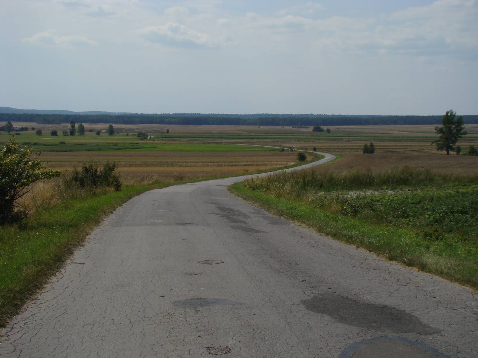
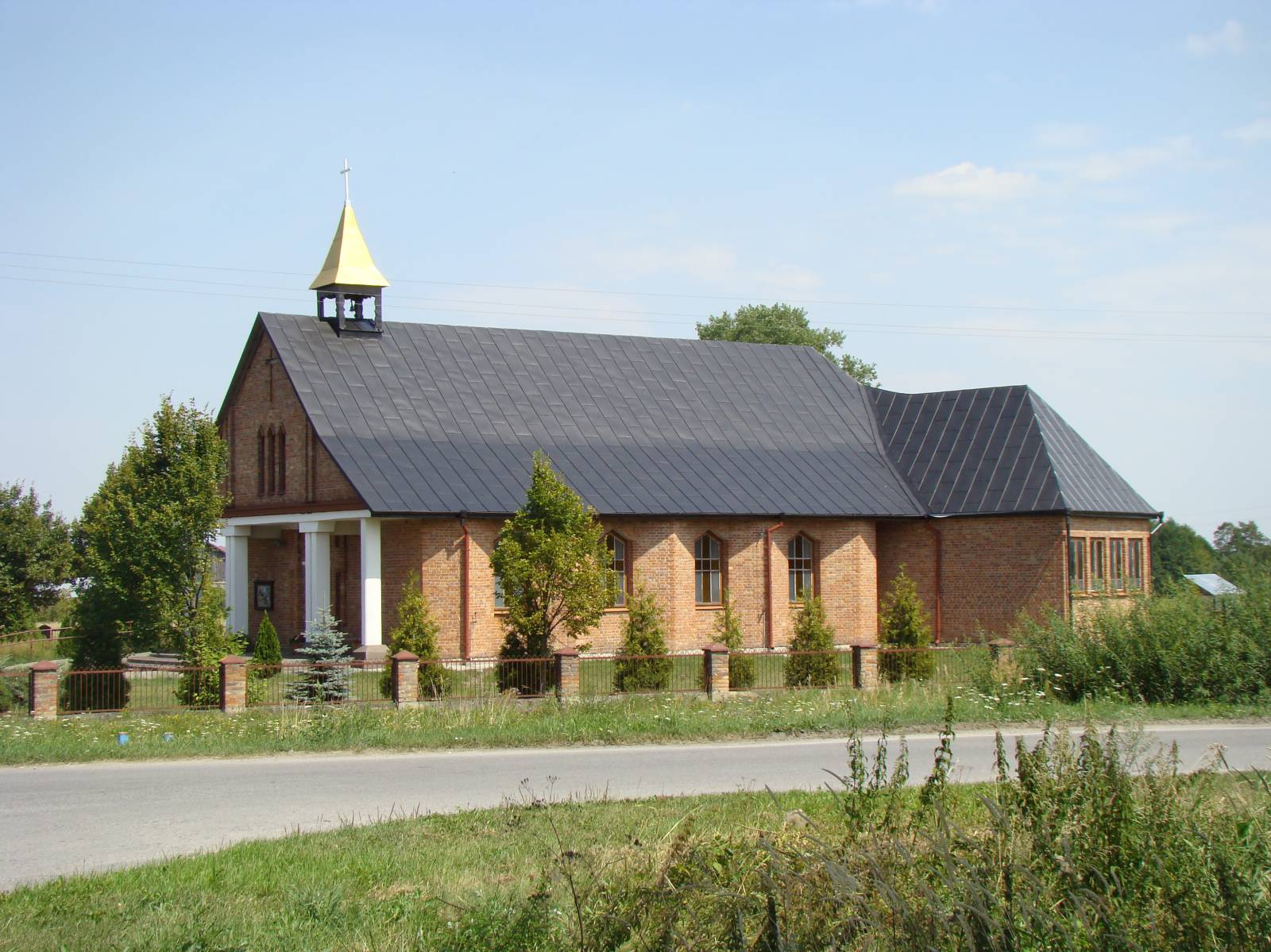
As suggested by its name, the route runs along the edge of the Roztocze Region, through picturesque hills, ravines, forests and arable fields, south of Zamość. The route is 40 kilometres long and marked out on local roads with a good, comfortable to ride, mainly paved surface. It often runs along the hill peaks, which offer numerous picturesque views. On the route, the cyclist will encounter monuments of rural construction - charming shrines, roadside crosses and old, rural huts. The information is provided by large boards with detailed maps of the area. The overall trail has very good and clear signposting.
The general course of the trail is as follows: Zamość - Skokówka (0.0 km) - Zalesie (8.6 km) - Lipsko-Polesie (20.1 km) - Wierzchowiny (24.6 km) - Wólka Wieprzecka (26.9 km) – Wychody (31.8 km) - Hubale (35.2 km) - Zamość, Aviation Club (40.0 km).
The route starts and ends south of the city of Zamość. One can start in Skokówka - located less than 2 kilometres from the rural town, to which the provincial road no. 849 runs. It ends at national road no. 74 near the Orlen filling station at the level of the Aviation Club in the city of Zamość. You can get there by covering a distance of about 2 km, using the wide shoulder of the national road or side streets. Unfortunately, there is no signposting telling how to get to the city centre.
The trail runs on local, virtually free of cars, asphalt roads or good quality forest roads and on field agricultural roads. The whole route is passable and devoid of any serious surprises, frequent on bike trails, like swamps or impassable sands. Thanks to this, it is suitable for a family cycling trip. However, it is hilly, which means that you should bring a suitable bike with you and be in good shape. Fortunately, the road system makes it possible to stop halfway and return to the city of Zamość.
Definitely the most interesting is the southern part of the route, between the villages of Zalesie and Skaraszów. The route winds here between hills and valleys, allowing the cyclist to hide in the shade of forests and to admire the vast panorama of fields and meadows typical of the Roztocze Region. Numerous shrines and local monuments of cultural heritage, described on the boards, allow you to get to know the history and culture of this region.
Points of interest along the trail:
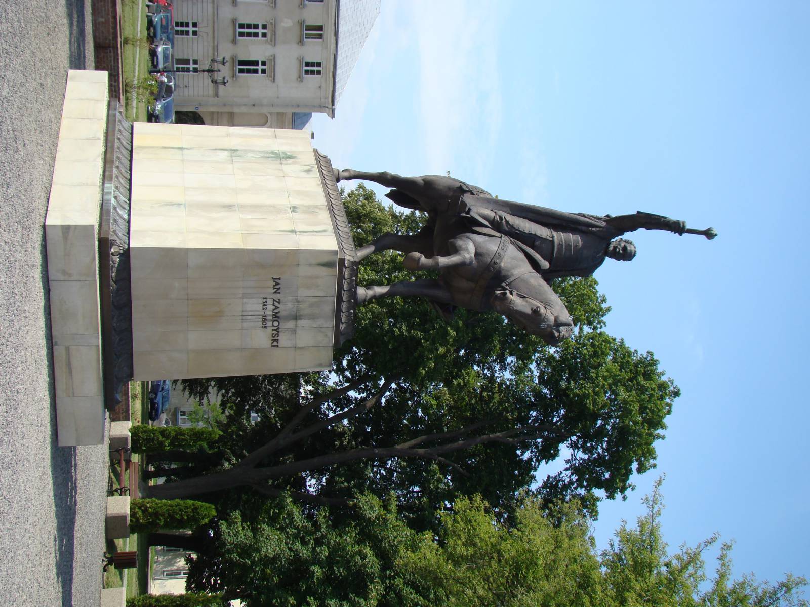
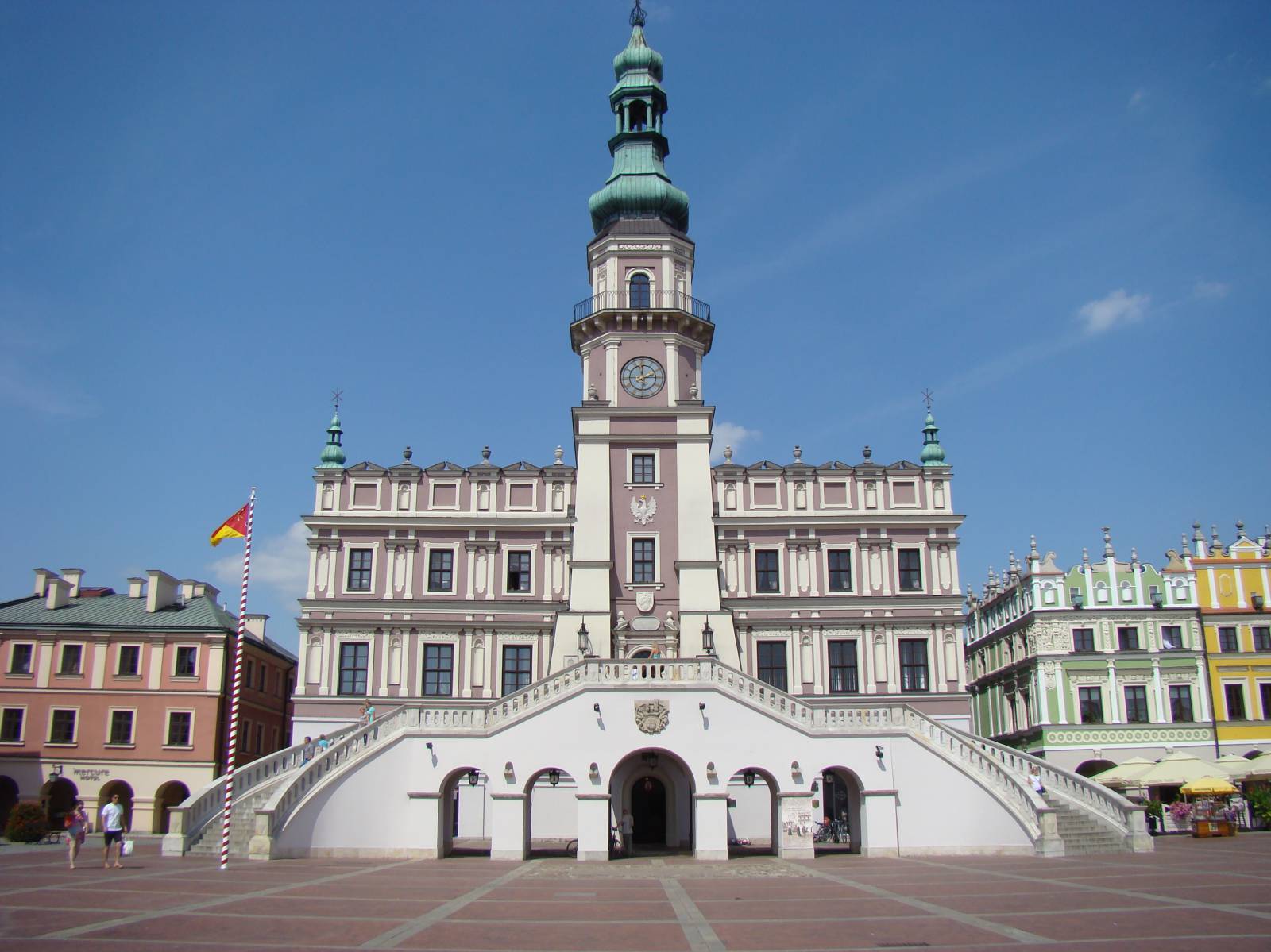
- The city of Zamość – monuments on the UNESCO World Heritage List
- Views of the typical, hilly landscape of the Roztocze Region
- Numerous shrines, wooden houses, roadside crosses etc. rural, picturesque structures
- Aviation Club of the Zamość Land - gliders, aircraft
The entire trail is suitable for bicycles with panniers/bike trailers. The trail is separated from the traffic, only safe cycling through public roads, separate bike trails and roads without road traffic, dirt roads, forest roads etc. A recreational trail. Trail offering outstanding vistas.
Starting point:
Skokówka village, intersection of Targowa street with Provincial road no. 849 (in the direction of the city of Zamość)
Finishing point:
The locality of Płoskie, the Orlen filling station on national road no. 74