
 Highest point
 Lowest point
 Sum of driveways
 Sum of downhill
 Slope
Slope Marking
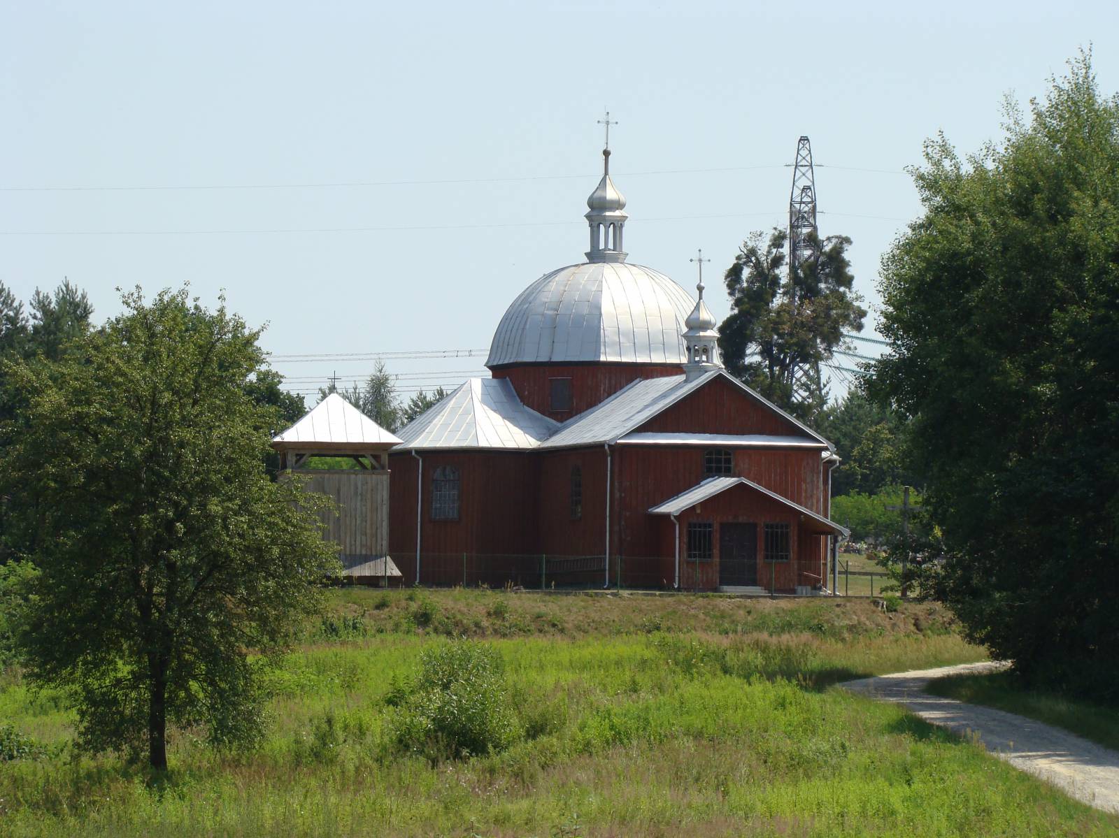
This rather short and relatively easy trail goes from Lubaczów to the south, into the valley of the Lubaczówka River. Spanning 25 km, it has been marked in yellow, in one direction only. It is recommended for families, although kids should use bicycles with wider tires. The trail offers interesting sights, including old Orthodox churches, old shrines and the “Kamienne” forest nature reserve.
The general course of the trail is as follows: Dąbków, Lubaczów town limits (0.0 km) - Opaka, (4.2 km) - “Kamienne” forest reserve (10.0 km) - bridge on the Lubaczówka River, an Orthodox church in Szczutków (17.0 km) - Dąbrowa, Lubaczów town limits (25.0 km).
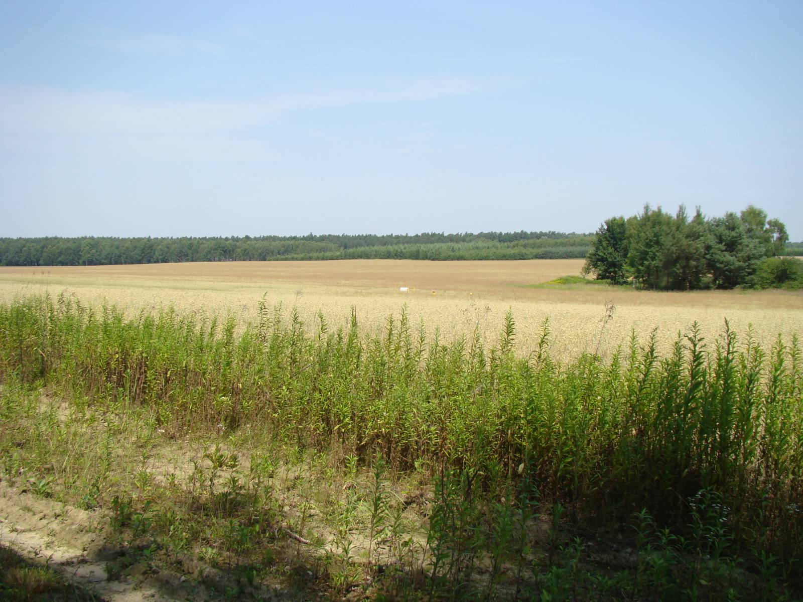
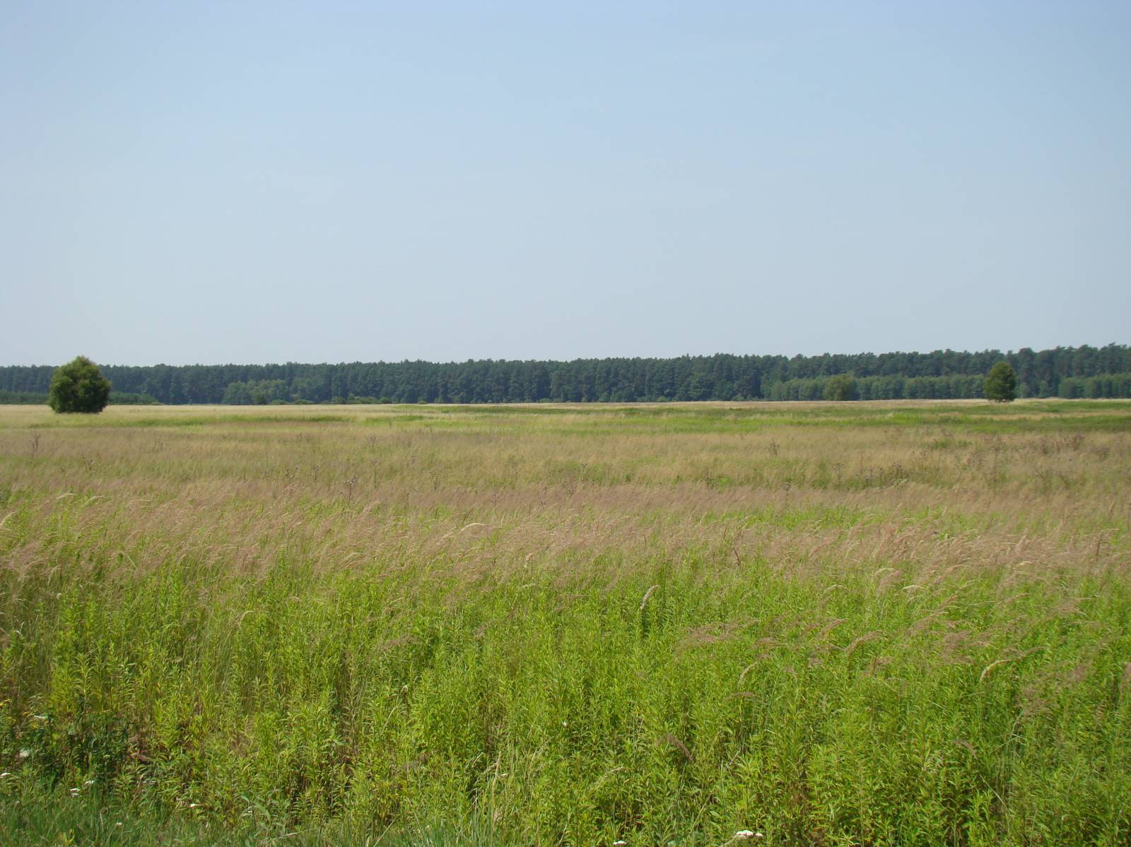
Because the route has been marked only in one direction, the ride should take place in the suggested order. Starting from the centre of Lubaczów, the loop of the trail has the total length of 25 km. The trail starts in the village of Dąbków, on the border with Lubaczów. A local museum of the eastern borderlands (Muzeum Kresów) propagates knowledge about the multiculturalism of these areas. The themed exhibitions are devoted to particular communities, Polish, Ukrainian, and Jewish, who for the most part lived together in peace until the Second World War. The town also has a unique Roman Catholic Cathedral, combining the old and the new church, as well as a market square and an old Jewish cemetery. From Dąbkowo, the trail runs through the village of Opaka to the forest edge where you will find a forest car park and several shrines. After a few kilometres on the trail, the forest thickens. The trail follows good roads until it reaches the “Kamienne” nature reserve. This wetland area is home to a thermophilous oak forest, which the reserve protects as the most diversified forest in Poland as far as the number of species. This part of the route has a slightly worse, but still passable surface. However, it offers a great deal in terms of natural attractions. Leaving the reserve behind, the trail turns in the direction of the Lubaczówka River valley and again follows good roads in the forest. On the river, in the village of Szczutków, there is an old cemetery and a wooden Orthodox church of St. Laurence from the beginning of the 20th century. There is also a camp site for kayakers using the Lubaczówka River. In the nearby forests, by the trail, you will find numerous crosses and captivating shrines. The trail leaves the valley of the Lubaczówka and goes back through the village of Dąbrowa to Lubaczów, finishing approximately 2 km from the town limits. The final part of the route is where the yellow and the green trails meet.
Points of interest along the trail:
- Lubaczów - Muzeum Kresów (Museum of eastern borderlands), market square, religious monuments
- “Kamienne” nature reserve – thermophilous oak forest
- Lubaczówka River - kayaking
- Shrines, wayside crosses
- Szczutków - Orthodox church
The entire trail is suitable for bicycles with panniers/bike trailers. The trail is separated from vehicle traffic and uses only safe bicycle crossings on public roads, separated bike paths and roads with no car traffic, dirt roads, forest paths, etc. Recreational character.
Starting point:
Dąbków, Lubaczów town limits
Finishing point:
Dąbków, Lubaczów town limits