
 Highest point
 Lowest point
 Sum of driveways
 Sum of downhill
 Connected with GreenVelo
 Slope
Slope Marking
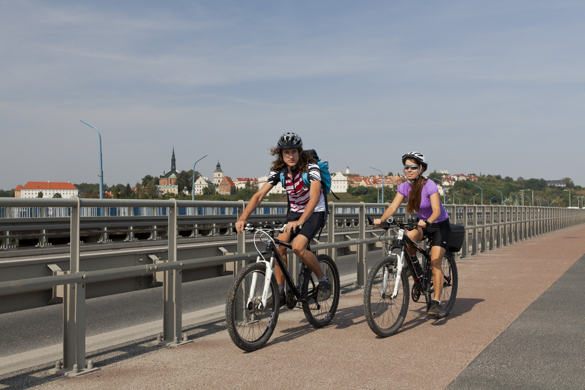
The yellow bike trail around Sandomierz called "The Sandomierz Landscapes" is 17.5 kilometres long and has the shape of a loop on the right-bank of the city, located in the Vistula River valley. It is one of the bike trails marked out by the Sandomierz branch of the Polish Tourist and Sightseeing Society (PTTK). The attraction of the trail are the views of the high-hill monuments of Sandomierz and the nearby Pieprzowe Mountains and the monastery in the village of Wielowieś.
The general course of the trail is as follows: Sandomierz, a bridge on national road no. 77 on the right-bank of the Vistula River (0.0 km) - Trześń (2.5 km) - Furmany (8.2 km) - Wielowieś (12.5 km) - Sandomierz, Zawisełcze (17.5 km).
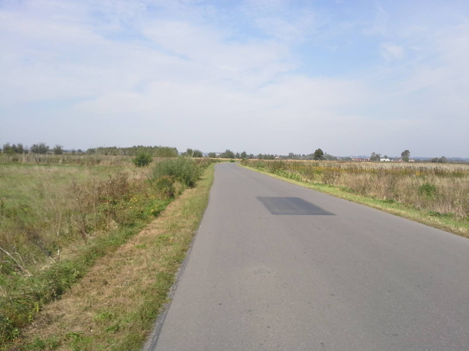
The trail runs entirely along the Vistula plain, mostly on good asphalt roads. It is therefore suitable for a recreational trip.
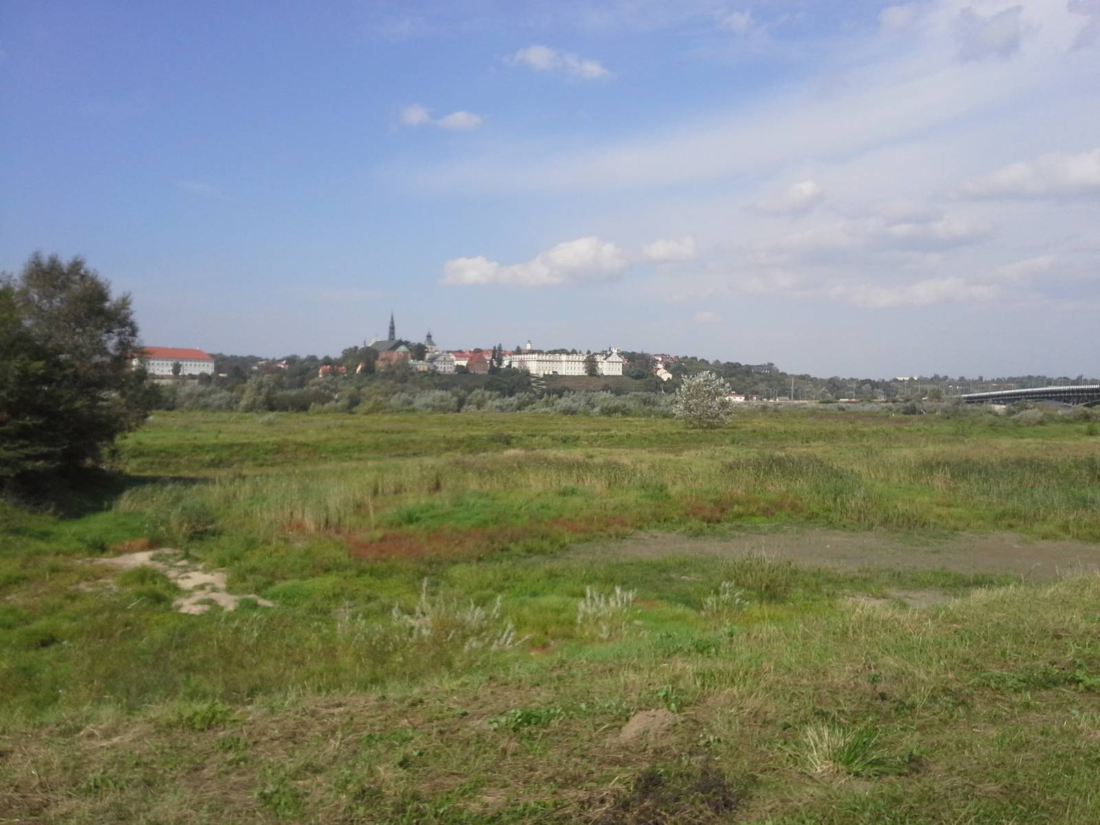
Sandomierz was founded on a site that had been important for centuries, on a hill at the mouth of the San River flowing into the Vistula River. It has a Medieval urban layout and about 120 architectural monuments dating back to various eras. Located among fruit orchards, the city, along with the surrounding area, is one of the most charming corners of Poland. The picturesque landscape of the area is distinguished by the picturesque ravine of the Vistula flowing through the Pieprzowe Mountains Reserve and the St. Hedwig loess ravine situated at the edge of the river valley.
The yellow trail runs through the less-known, right-bank part of Sandomierz. The route begins on the bridge of national road no. 77 on the eastern side of the Vistula. It runs together with the Green Velo route to reach almost the village of Trześń, next to the border between the Świętokrzyskie and Podkarpackie voivodships.
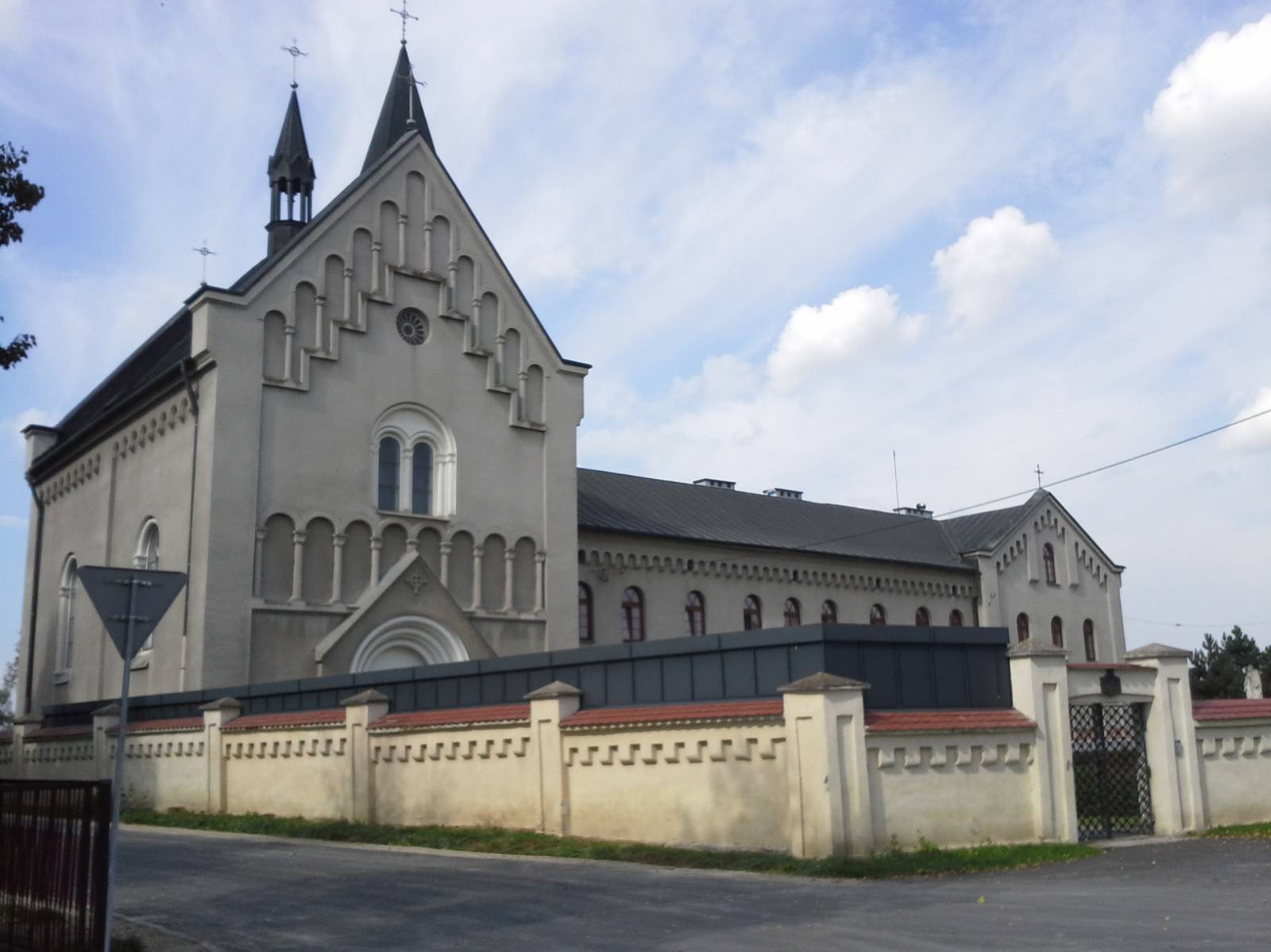
The name of the town, like the local Trześniówka river, originates from the old name of the cherries that used to grow over the area. Several monuments have survived here: a cemetery chapel from the beginning of the 20th century, a former Tarnowski manorial granary dating back to the 19th century and a Holy Family church, built in 1893-1899 according to the design of architect Jan Sas Zubrzycki, well-known in the Galicia Region. The wooden manor house of the Tarnowski family in the village Trześnia was in 1809 the headquarters of the army of the Duchy of Warsaw and Prince Joseph Poniatowski stayed there. At that time, the battle with the Austrian troops led by Archduke Ferdinand d'Este took place in nearby village of Wrzawy. Since 1879, a memorial obelisk commemorating this clash has stood there.
From the village of Trześnia, the trail runs south to the village of Furmany, departing the Green Velo trail. Then, running across the Vistula plains, it turns to the locality of Wielowieś. The most valuable monument of the former Vistula settlement, today a city of the Tarnobrzeg district, is the 19th-century Dominican nunnery. Next to the parish church of St. Gertrude and Saint Michael, the Archangel was erected.
From this place, through Zawisełcze - the right-bank district of Sandomierz - the trail runs back to the bridge over the Vistula River. The Medieval city founders knew what they were doing by locating the city on the hills. In addition to defensive function, it also protected the city against the flooding by the Vistula River. The Great Flood of May and June 2010 flooded the whole right bank of the city of Sandomierz - 11 square kilometres, forcing 4000 inhabitants to evacuate. By making a huge effort, the rescuers managed to save industrial plants in the Zawisełcz district by flooding the area where the trail runs.
Points of interest along the trail:
- Trześń - manor house, chapel, church
- Wielowieś - monastery, church
- Panorama of the city of Sandomierz
The entire trail is suitable for bicycles with panniers/bike trailers. The trail uses solely roads with no motor vehicle traffic allowed, or local roads with a low and very low vehicle traffic; no dangerous intersections. The trail is especially recommended for families with children and children's trailers. A recreational trail.
Starting point:
Sandomierz, a bridge on national road no. 77 on the right bank of the Vistula River
Finishing point:
Sandomierz, the Zawisełcze district