
 Approximate driving time with sightseeing
 Highest point
 Lowest point
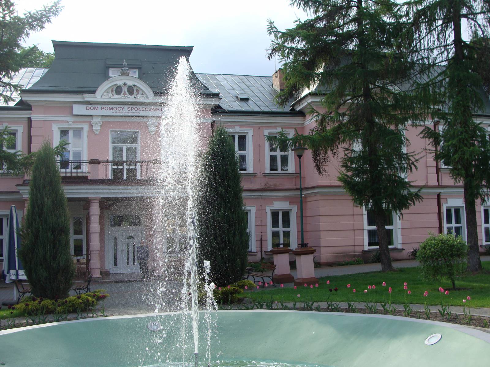
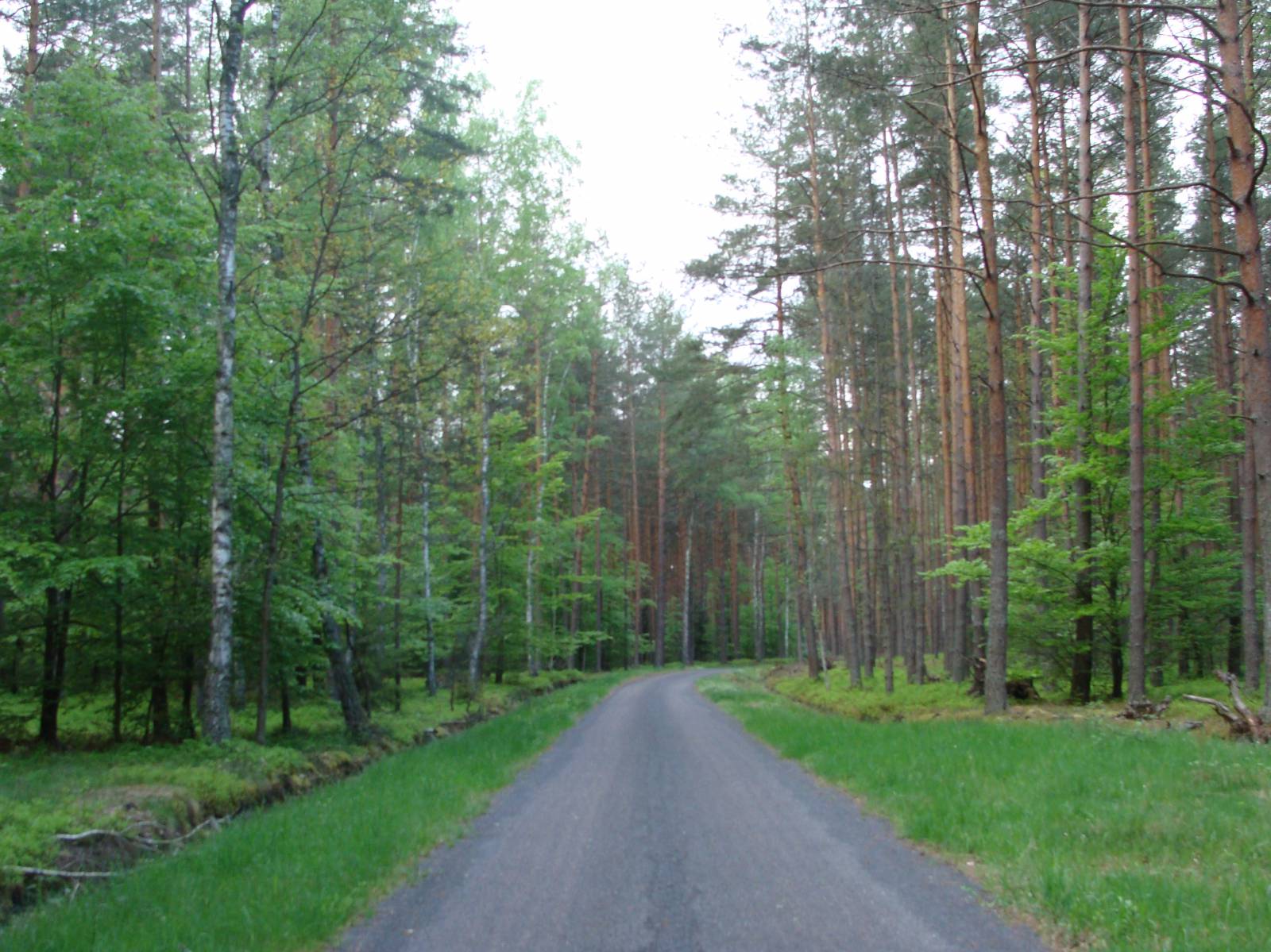
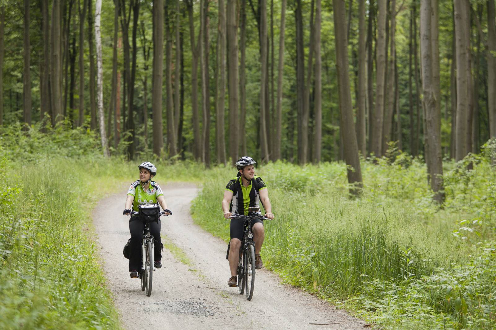
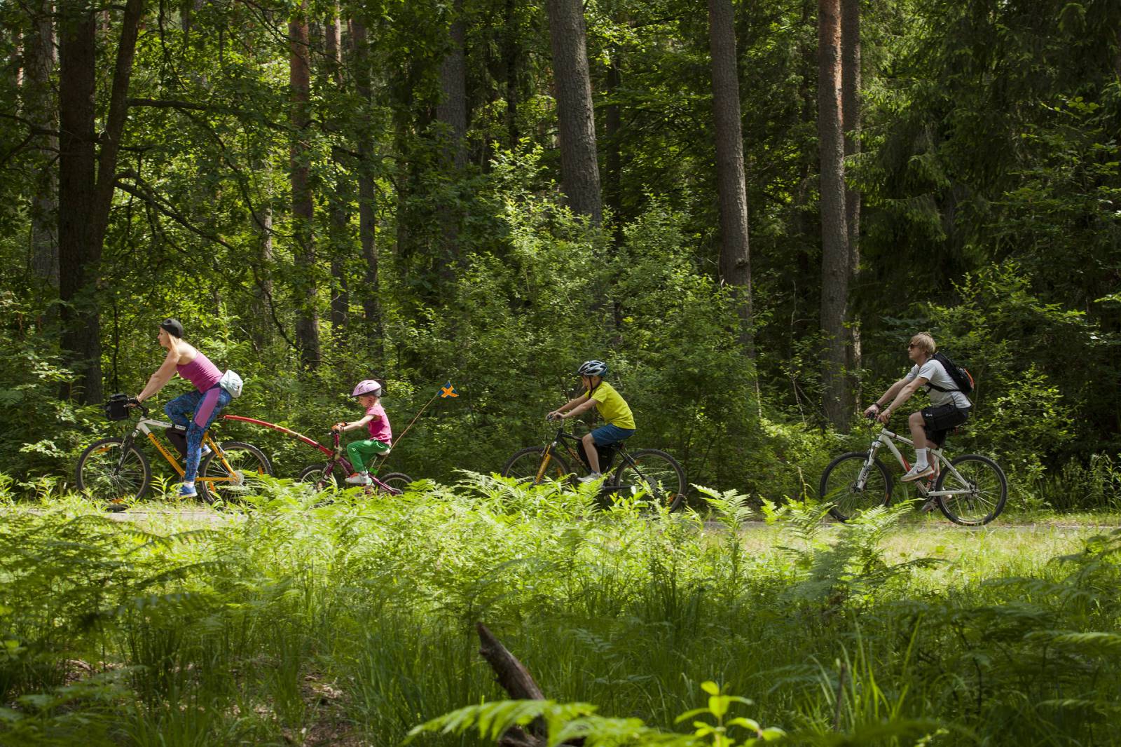
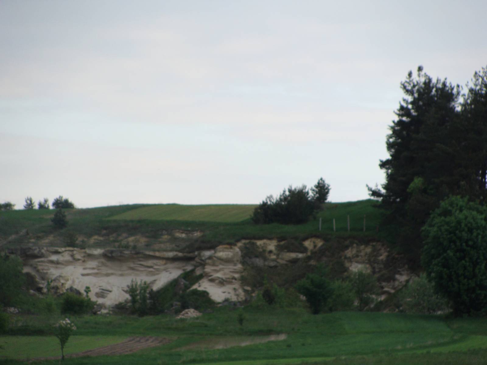
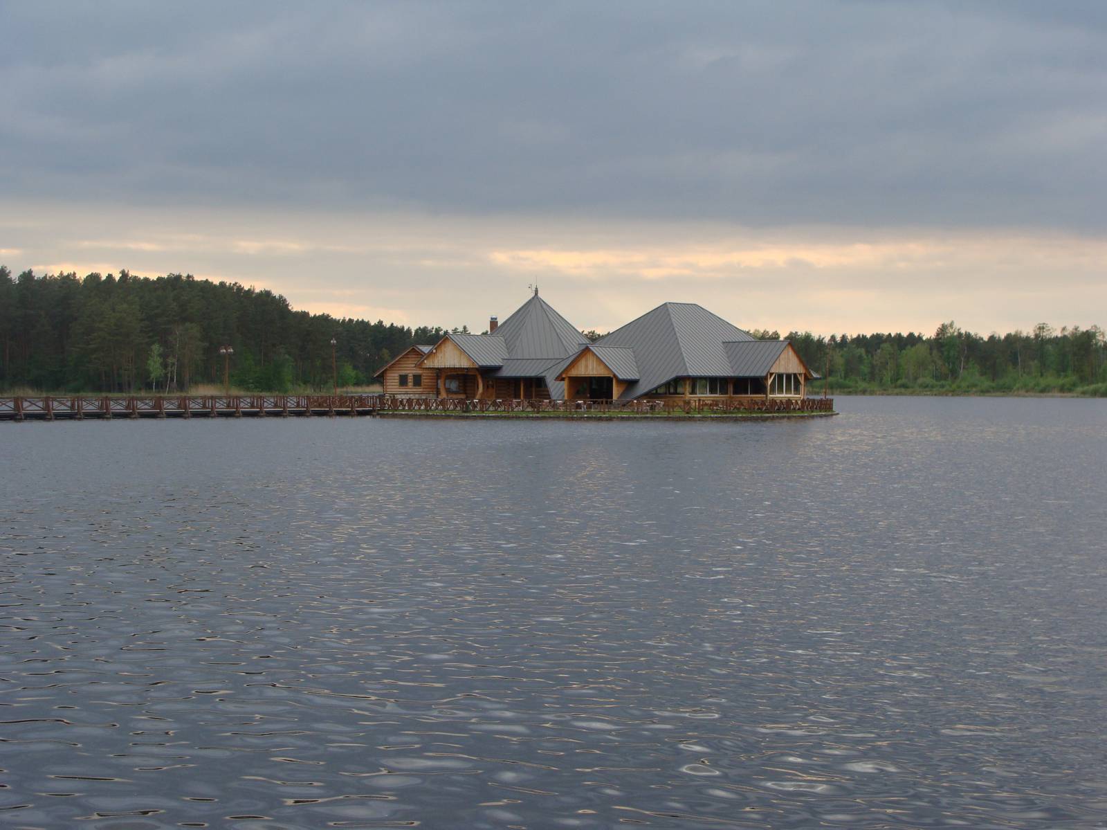
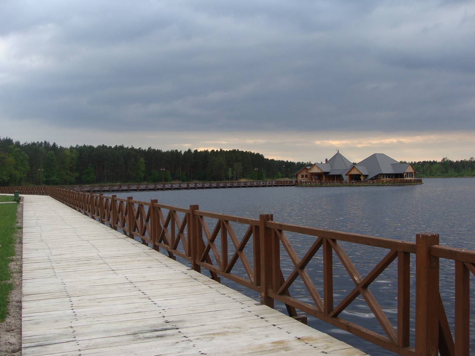
The trail of the trip runs through the Southern Roztocze area, which is relatively unpopular among tourists. It leads along roads of low traffic intensity, which ensures the comfort and safety of riding for bikers. The trip starts in the centre of Ruda Różaniecka – the village that owes its double-word name to a metallurgical plant established here in the 17th century and the Różaniec river. The most important historic site in the village is the imposing place of the Brunicki and Wattmann families build in the neo-Baroque style. Ruda Różaniecka is famous for its fish pond complex, which is a paradise for lovers of angling. The excellent taste of the fish bred here is guaranteed by technical, sanitary and feeding operations. Accommodation places and a campsite are available to angling enthusiasts near ponds. Then the trail leads through areas with minor differences in height and along roads of low traffic intensity. Past the forest border, it passes by ponds on the right and after around 4.5 km turns right, due north. It leads along a slightly neglected gravel & stone road through the Solska Forest and, after around 10 km, it reaches Huta Różaniecka – a village situated on the border of the Sandomierska Forest and Roztocze. Lovers of geology should visit the nearby quarry, in which limestone was mined for local stonemasons. The local rocks date back to the Miocene Epoch; fossils of oysters and pectens can easily be found in the neighbourhood. The marked cycling trail “Throughout the Narol Commune” leads farther south towards Ruda Różaniecka. In front of it, on the right side of the road, there is a recreation and training centre Dębowy Dwór [Oak Manor House] with a bathing area, where you can relax at the end of the ride. On the trail, you can also come across a restaurant and three agrotourist farms.
Course of the trail:
- Ruda Różaniecka – 0 km
- Huta Różaniecka – 10 km
- Ruda Różaniecka – 17 km
Surface and marking of the trail:
Running along roads with an asphalt and gravel & sand surface, the trail overlaps with the cycling trail “Throughout the Narol Commune.” Information boards are placed near main tourist attractions.
Attractions on the trail:
- Quarry in Huta Różaniecka
- Bathing area in Ruda Różaniecka
- Fish pond complex in Ruda Różaniecka
- Palace of the Brunicki and Wattmann families in Ruda Różaniecka
Tourist Information Point at the Communal Culture Centre, ul. Tomaszowska 100, 22-672 Susiec, phone 84 66 54 410, www.gok.susiec.pl