
 Approximate driving time with sightseeing
 Highest point
 Lowest point
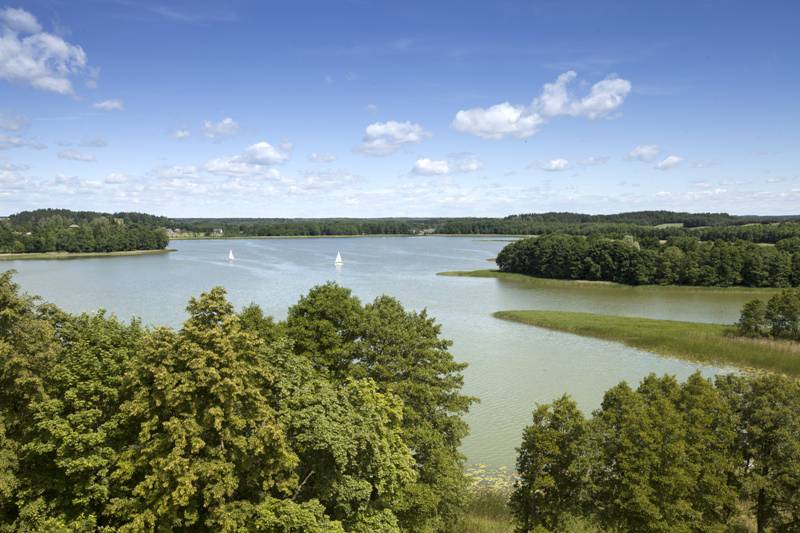
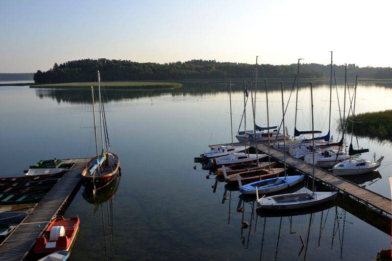
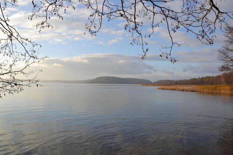
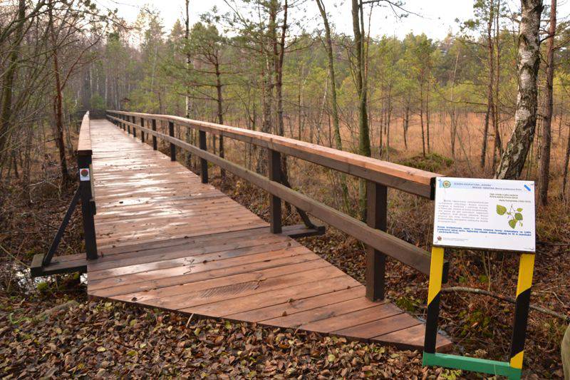
The route leads around the Wigry - the gem lake of Suwalszczyzna. It runs mainly through forests of the Wigry National Park, as well as valuable peat bogs in the Czarna Hańcza valley, which we can travel through with walkways of the total length of 700 meters. The beautiful views can be best admired from lookout towers in Stary Folwark, Bryzgiel and Gawrych Ruda and the viewing platforms over the Wigry. The most valuable monument on the route is the post-Camaldolese monastery in Wigry. The Wigry Museum is also worth a visit.
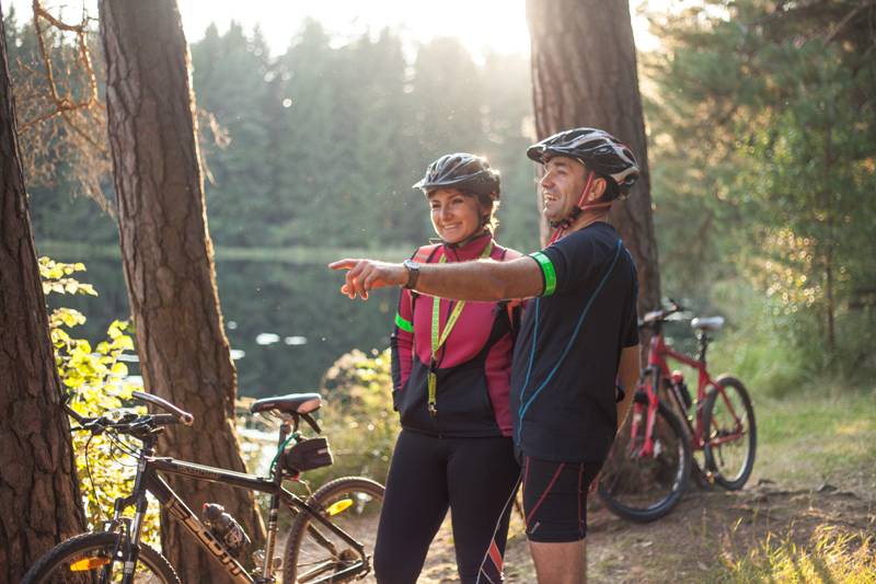
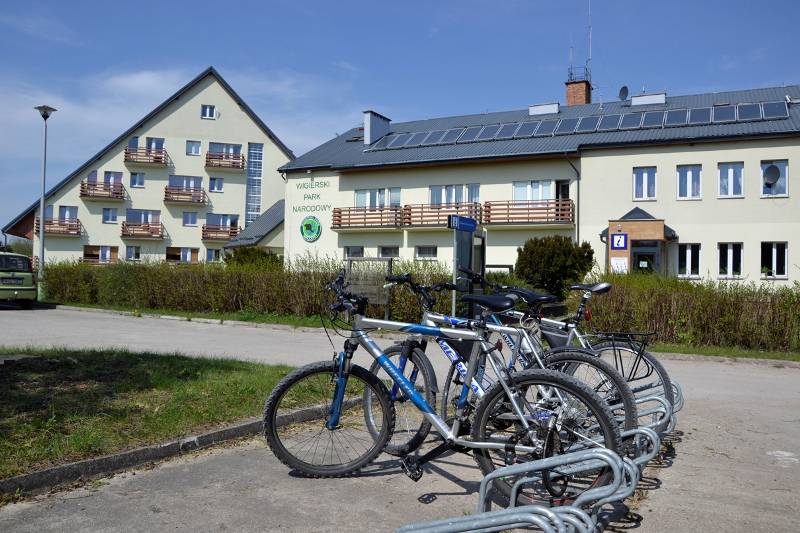
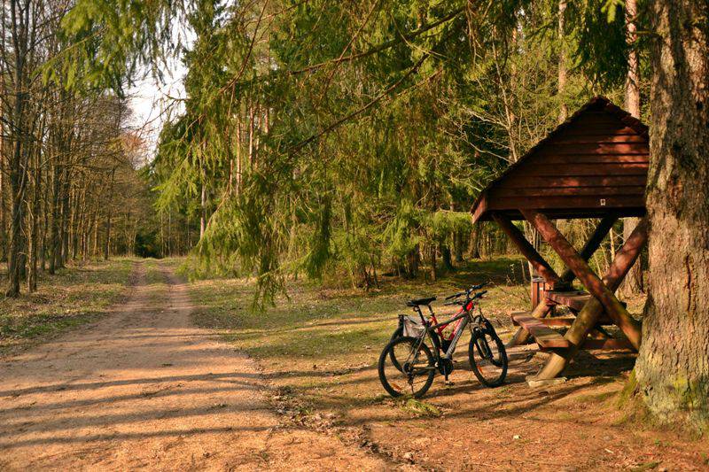
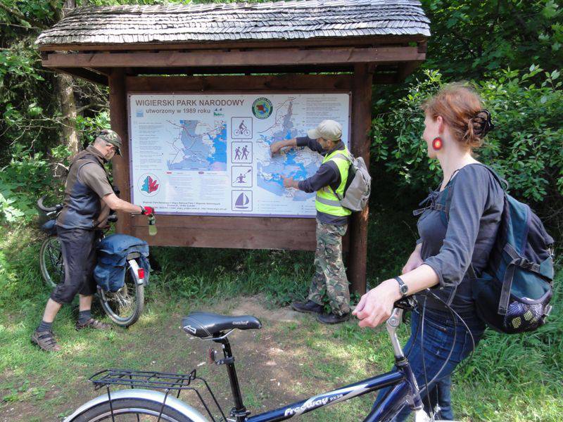
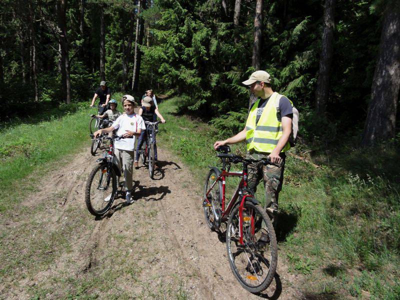
The excursion begins in Krzywe, where the Tourist Information Centre of the Wigry National Park is located. This is where you can collect maps, guides and get professional information. There is a parking space available, as well as a bike rental and repair shop. Start along the Green Velo Route, to reach Stary Folwark after 5 kilometres. Then, the trail leads to village Wigry. In Mikołajewo, the trail turns from Green Velo to Podlaski Stork Trail and leads to Piaski Bay. Next, it follows the green hiking trail through Czerwony Krzyż, and reaches Bryzgło. The international bike trail R11 leads along the local asphalt road, then turns again to the green hiking trail and passes through Binduga and Powały - mid-forest clearings, stations of the Wigry Narrow-Gauge Railway and viewpoints of the Wigry lake.
After reaching Gawrych Ruda, turn again to the green trail behind the church. This is where you will find a tower with a view of Wigry and Okrągłe lakes, a shop and a bar U Jawora, hotel and restaurant Nad Wigrami - worth stopping in for a rest. After setting off, along the edge of the Wigry, pass the cemetery and the lovely Lake Muliczne. You reach the valley of Czarna Hańcza, where approx. 700 metres of walkways lead through the wetland forests and peat bogs. You leave the river valley along the black, then the blue hiking trail and reach the Green Velo Trail, and get back to Krzywe. It is possible to start the excursion in Suwałki - then you will reach Krzywe with the Green Velo Trail (approx. 4 km from the centre of Suwałki.
Route:
- Krzywe Leszczewek – Stary Folwark – Wigry – Mikołajewo (14 km, Green Velo)
- Mikołajewo – Piaski (16 km, Podlaski Stork Trail)
- Piaski – Czerwony Krzyż – Zakąty – Krusznik – Bryzgiel (26 km, green hiking trail)
- Bryzgiel - Powały (29.3 km, bike trail R11)
- Powały – Binduga – (31,4 km, green hiking trail) – Binduga – Gawrych Ruda (33 m, bike trail R11)
- Gawrych Ruda – Słupie – Dolina Czarnej Hańczy (43 km, green hiking trail)
- Łąkowa Droga (45 km, black hiking trail)
- Bindasowa Droga (47,2 km, blue hiking trail)
- Krzywe (48 km, Green Velo)
Surface:
- Asphalt roads and bike paths 60%
- Dirt and forest roads walkways over wetlands (we recommend walking with the bike)
The route is marked:
- The beginning and end of the route: coincides with the Green Velo
- The remaining part of the route: marked according to the PTTK standards, the international bike trail R١١,
- The Podlaski Stork Trail
Tourist attractions on the route:
- Stary Folwark – a modern museum of Wigry.
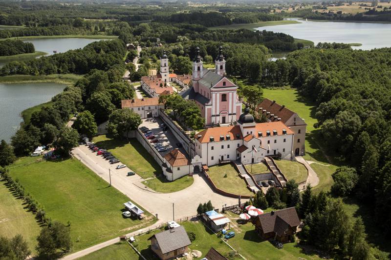
- Wigry – an 18th-century former monastic complex; the most valuable historical site of the region. In the village, you can buy Wigry Pierogi - a certified regional product.
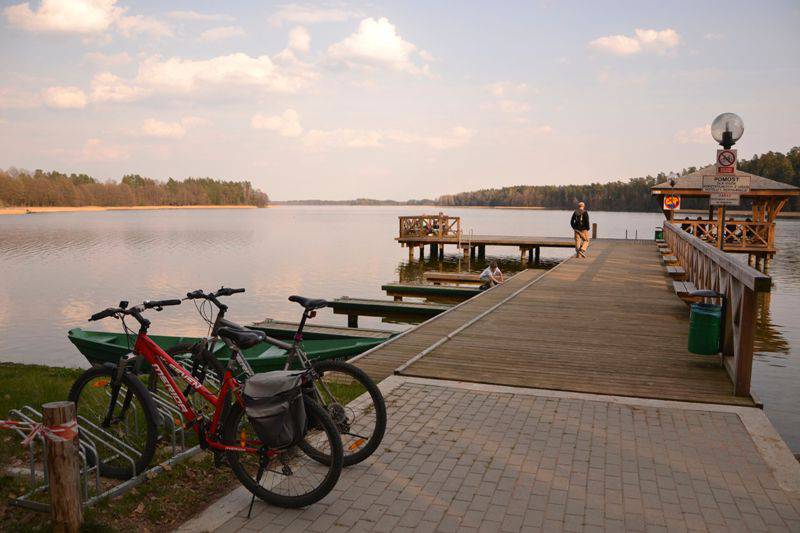
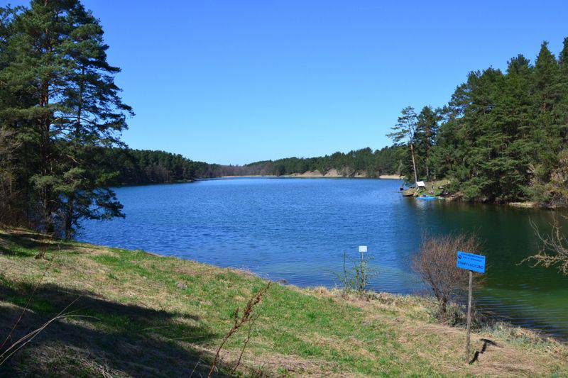
- Piaski – a charming bay with one of the most beautiful views of Wigry, a scenic wild beach under the canopy of pine forest, perfect for stopping by and swimming.
- Czerwony Krzyż – a monument commemorating the pacification of the village by the Germans in 1944.
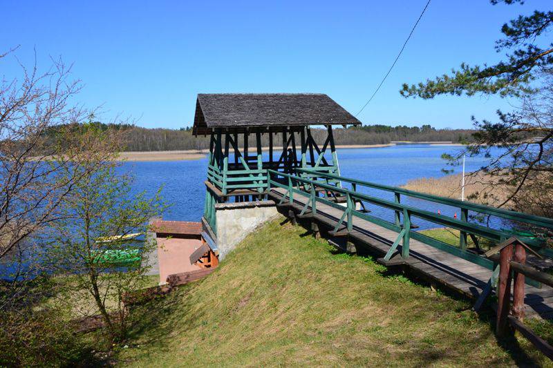
- Bryzgiel – a watchtower; a good place for observation of birds.
- Cmentarz – a remnant of the historical Słupie village.
- Dolina Czarnej Hańczy – ca. 700 metres of footbridges run through wetland forests and mires grown with characteristic Carex plants. It is a habitat for elks and wolves.