
 Highest point
 Lowest point
 Sum of driveways
 Sum of downhill
 Connected with GreenVelo
 Slope
Slope
The Bialobrzegi bike trail is a bike trail of less than 18 kilometres long in a loop shape running through the forests growing on the northern edge of the Wisłok River valley, between Łańcut, Leżajsk and Przeworsk. The trail is typically recreational, suitable for a short bike ride. It is quite unusually signposted - plaques with the words "bike trail" and a circle in the form of a stylized bicycle on a white background. The trail has no colour, and the signage is not complete and navigation has to be supported with a map or GPS track.
The general course of the trail is as follows: Białobrzegi, intersection next to the A4 motorway (0.0 km) - Zmysłówka (8.3 km) - Opaleniska (9.6 km) - Korniaktów (14.6 km) - Białobrzegi, intersection next to the A4 motorway (17.5 km).
The route starts near the village of Białobrzegi, about 2 km north of the centre of the village, near the intersection following the A4 motorway bridge. The village can be reached via the Green Velo trail, which is accompanied by the Bialobrzegi bike trail by the first 1.7 kilometres. Then the route turns into the forest to the east, and runs among the pines for about 6 kilometres, to the village of Zmysłówka. This is one of the nicest parts of the route.
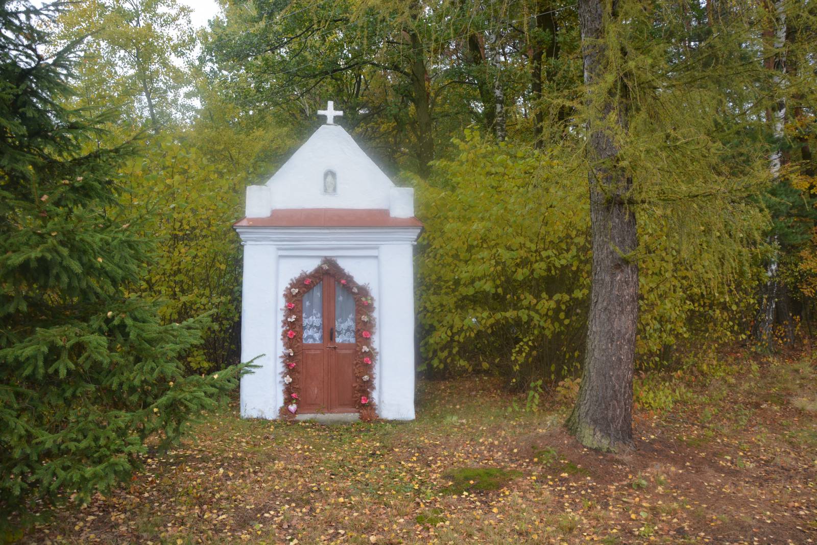
On the way you can see numerous shrines on the fork of forest roads. The trail from the village of Zmysłówka runs on the road to the village of Opaleniska, however you can see the nearby forest reserve "Zmysłówka" with old-growth larch forest.
From the locality of Opaleniska the route turns into the forest again and runs to the village of Korniaktów, from where it turns back to the Green Velo route, next to the village of Białobrzegi. On the way, at the edge of the forest, you can see a large complex of fish ponds, called the Korniaktów Ponds. In their area there are numerous, forested dunes. This is a memento of the ice age, when the winds blowing in the glacier foreshadows about 10,000 years ago formed hills from the sand, overgrown after thousands of years by pine forests.
Points of interest along the trail:
- Forest shrines
- Forest complex
- The Korniaktów Ponds
The entire trail is suitable for bicycles with panniers/bike trailers. The trail runs only on roads without road traffic or on local roads with a low and very low volume of road traffic; no dangerous intersections. A recreational trail.
Starting point:
Białobrzegi, the intersection following the A4 motorway bridge
Finishing point:
Białobrzegi, the intersection following the A4 motorway bridge