
 Highest point
 Lowest point
 Sum of driveways
 Sum of downhill
 Connected with GreenVelo
 Slope
Slope Marking
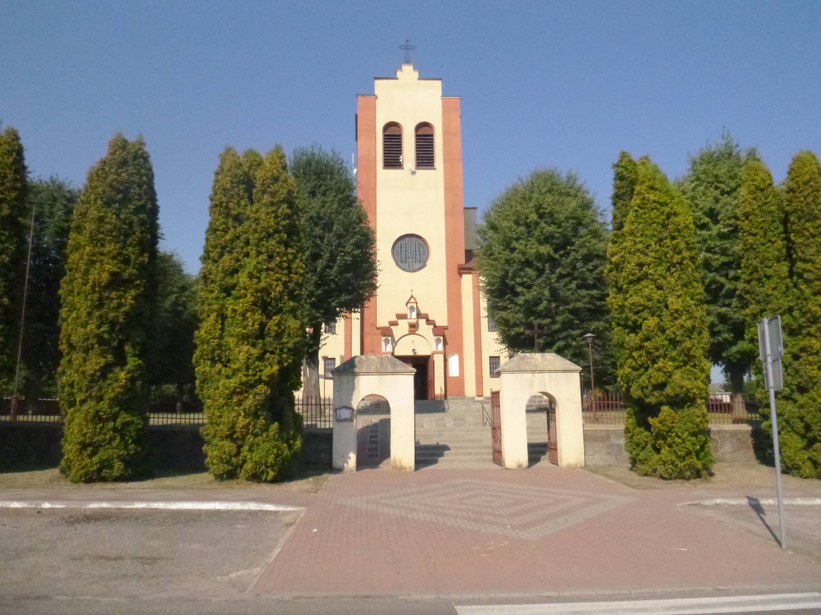
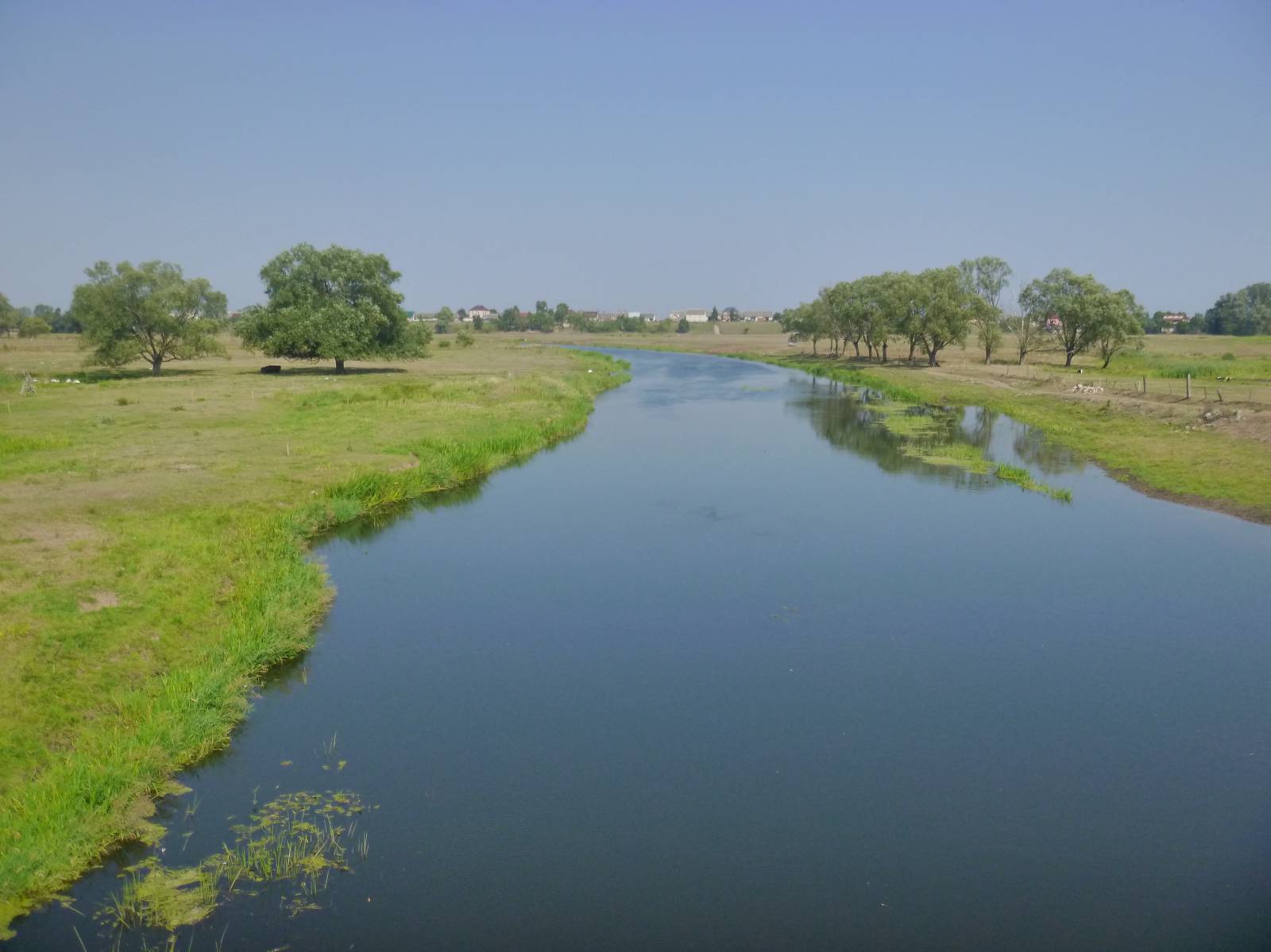
This easy, leisure bike trail in the valley of the Ślina River is not very long, spanning just over 30 km. It was laid out on good hard-surface roads with low traffic volume. The trail is ideal for a recreational bike ride offering views of the landscapes of the Narew Valley between Kurowo and Strękowa Góra.
The trail begins in Kurowo, next to the headquarters of the Narew National Park.
At this point, you can learn about the nature of the Narew Valley, strolling along one of the educational paths or taking more time to do rafting in traditional wooden boats known as pychówki.
From Kurowo, the trail turns west, in the direction of Ślina, a small tributary of the Narew River.
From the village of Kobylin, it follows along the river to the north, to its mouth in the village of Targonie Wielkie. There, the trail encounters a Green Velo connector route that goes to Łomża.
From there on, both trails go further west for about 10 km, this time in the valley of the Narew. This segment is particularly charming and allows you to enjoy the views of vast, wet meadows along the river. The end of the trail is located in Strękowa Góra, in the vicinity of the environmental education centre.The trail is poorly marked and virtually devoid of recreational infrastructure.
The yellow blazes, mostly painted on trees, are quite worn off. The trail runs mainly through open terrain and numerous, small villages with wooden buildings traditional for the region. A good road surface and little traffic make it a good option for a trip with a bike trailer.
For about 1 km, the trail uses cobbled roads, which are unfortunately inferior when it comes to riding comfort. However, most of the road surface is good enough for all types of bikes with narrow tires that provide a faster and more comfortable ride. The lack of hills makes this route easy to do also for people who are out of shape at the moment.
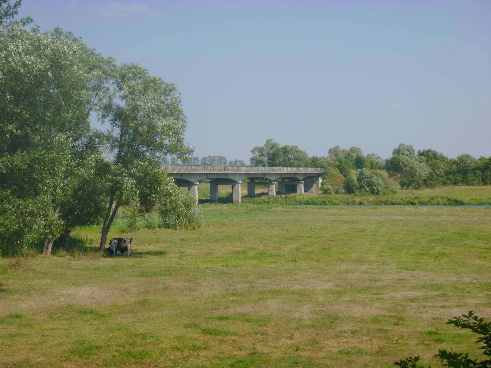
The general route of the trail is as follows: Kurowo-Kolonia (0.0 km) - Kobylin-Borzymy (9.7 km) - Łaś-Toczyłowo, bridge over the Narew River (28.3 km) - Strękowa Góra (33.7 km).
You can return to the starting point using the Podlaskie White Stork Trail (for example), which combines the beginning and finishing points of the trail going along the banks of the Narew through Tykocin, a historical small town.
With this addition, the trip will become much longer, spanning around 80 km total - which is perfect for a weekend getaway.
The Narew Valley offers quite a few agrotourism farms, so in this case the option of accommodation is also available.
Points of interest along the trail:
- The Narew Valley (national park) - riverside landscapes
- Kurowo - headquarters of the Narew National Park, educational trails, rafting
- Traditional wooden architecture of the village, shrines
The entire trail is suitable for bicycles with panniers/bike trailers. The trail uses solely roads with no motor vehicle traffic allowed or local roads with a low and very low vehicle traffic; no dangerous intersections.
The trail is especially recommended for families with children and bike trailers for kids.
Recreational character.
Starting point:
Kurowo Kolonia - Narew National Park entrance gate
Finishing point:
Strękowa Góra, environmental education centre