
 Highest point
 Lowest point
 Sum of driveways
 Sum of downhill
 High slope sections
 Slope
Slope Marking
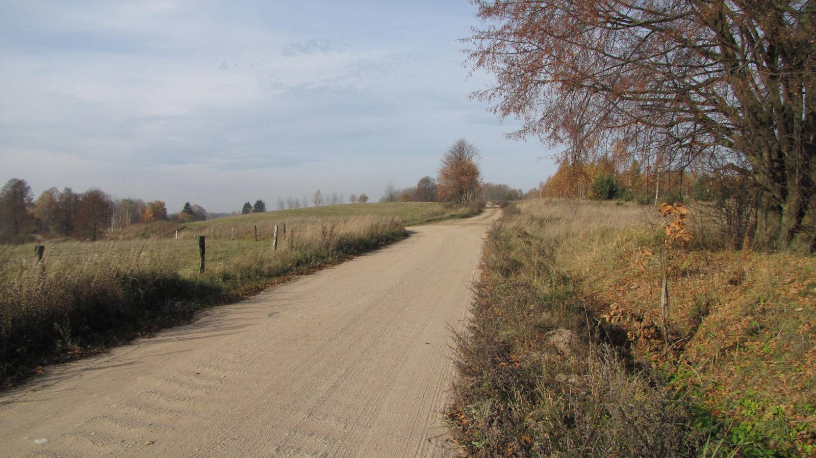
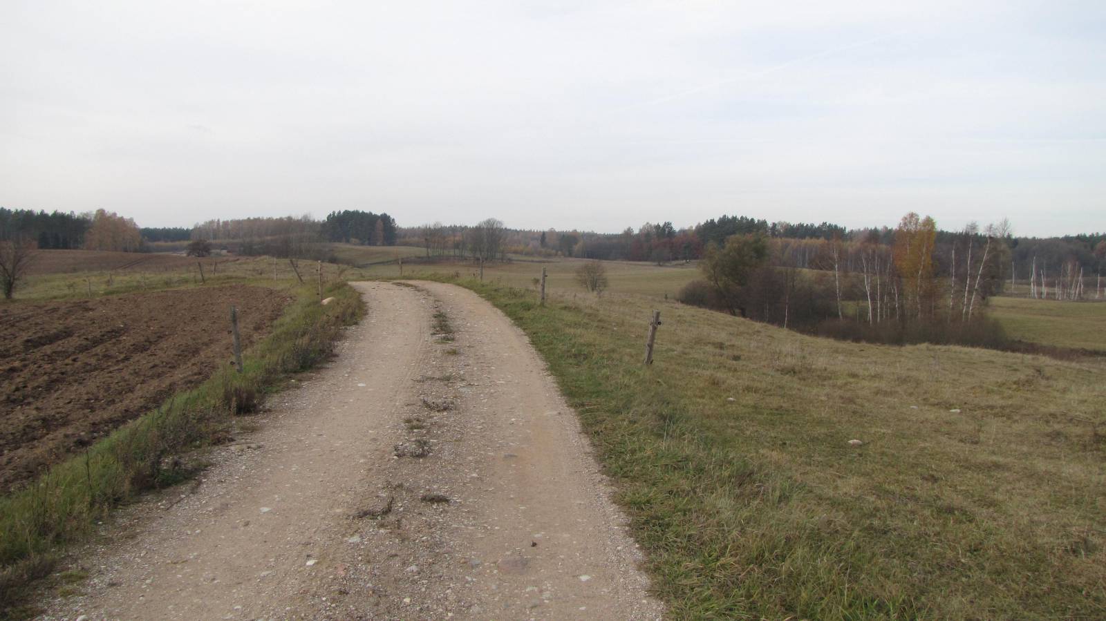
The green bike trail in the Gołdap Municipality is a little over 20 km long bike route, departing from the spa resort of Gołdap to the village of Boćwinka in the Gołdapa River Valley via a mysterious forest called “Las Kumiecie”. The marking of the trail is good, the route takes mostly unpaved roads, and the terrain is quite hilly, but the route is suitable for less experienced bikers too.
The general route of the trail is as follows: Gołdap, Stadionowa street, going to the spa (0.0 km) - graduation towers on Lake Gołdap (1.2 km) - edge of “Las Kumiecie” from the lake side (2.6 km) - edge of “Las Kumiecie” from the city side (7.5 km) - intersection with national road no. 65 (9.3 km) - Bałupiany (15.2 km) - Łobody (18.4 km) - Barkowo (20.2 km) - Osieki (24.5 km) - Jany (25.9 km) - Janki (27.6 km) - Boćwinka, Green Velo MOR (33.2 km).
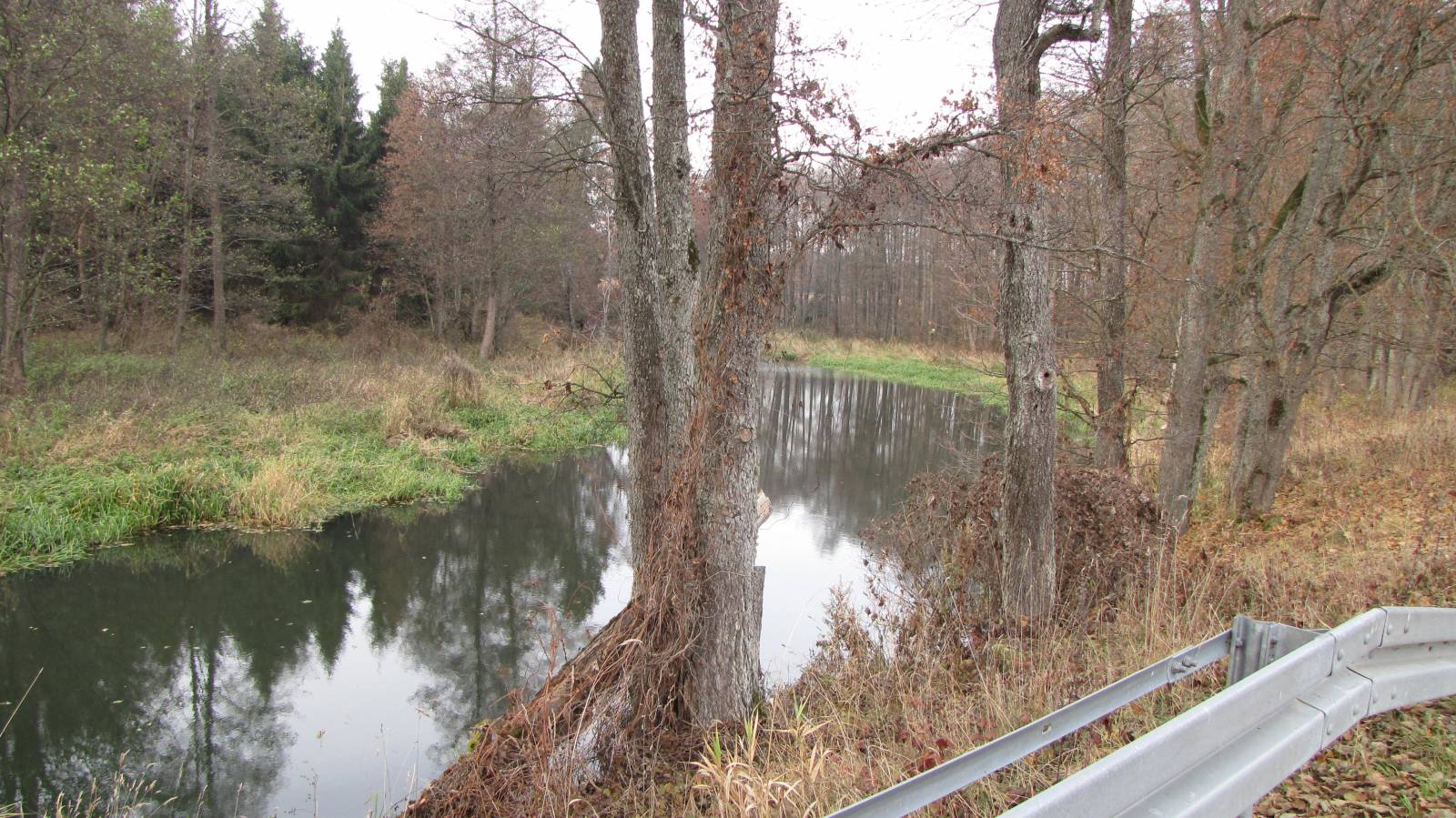
The trail begins in the eastern part of Gołdap, near the fork of the provincial road together with a Green Velo trail and the road that goes to the spa. This county seat is an important communication and administration centre of the region. It was founded in the 16th century in an area that had been inhabited by Yotvingian tribes, who were later eradicated by the Teutonic Knights. Over time, these lands became the Polish-Lithuanian-Prussian frontier, and a colonisation effort was undertaken aimed at the re-settlement of the abandoned places. Rebuilt after the ravages of both world wars, the city currently enjoys the status of a health spa resort, the only one in the Warmia-Masuria Province. To the east of Gołdap extends the vast complex of the Romincka Forest (Puszcza Romincka), with the first part of the trail passing along its edge. A cobbled street leads to the resort part of the city. Here is where you will find wooden graduation towers, a beach and numerous food places. There are also beautiful views of the scenic Lake Gołdap, whose waters are divided by the Russian-Polish border. The trail heads to the north and delves into the mysterious “Kumiecie Forest” (Las Kumiecie). In the woods, it makes an arc, coming within less than 1 km of the border. You might want to have your ID with you, as the border area is often controlled by patrols of the border guards. “Las Kumiecie” is a nature reserve, which is part of the Romincka Forest. This was also the secret headquarters of the Luftwaffe – the German aerial armed force during World War II. Among the trees, numerous bunkers still survive until this day. During the war, they also served as a testing ground for secret missile weapons developed by the Nazis. From “Las Kumiecie”, the trail returns to the northern suburbs of Gołdap, and then turns to the west. It crosses the national road leading to the border crossing and then for several kilometres it goes over the hills which are part of the Mazury Garbate range. This part of the trail offers nice vistas, and on the way you will encounter many old villages, which look as if they have been forgotten by time. Past the village of Barkowo, the trail enters the Valley of the Gołdapa. This right tributary of the Węgorapa is an interesting but hard kayak route. The meandering and picturesque river, with a total length of 89 km, is called Jarka in its upper reaches. The route first follows the western, and then the eastern edge of the valley, and ends in the village of Boćwinka, along the Green Velo trail. There is a stone here commemorating German soldiers fallen in World War I, and in the neighbouring village of Boćwiński Młyn, there is an old mill and a manor house. The return route from Boćwinki to Gołdap is best ridden along the Green Velo trail which in part goes on the former railway line. The distance to the centre of Gołdap via Jabłońskie is 17 kilometres. Such a loop has the total length of a little over 50 km, which corresponds to the distance of an all-day bike trip. When you opt for it, why not visit Gołdap, the lookout point and the restaurant in Piękna Góra too?
Points of interest along the trail:
- Gołdap: spa, water tower, urban layout
- Gołdap Lake and graduation towers, swimming beach
- “Las Kumiecie” - German bunkers
- Panorama of Mazury Garbate and the Valley of the Gołdapa
Not all fragments of the trail are suitable for bicycles with panniers/bike trailers. The trail uses solely roads with no motor vehicle traffic allowed or local roads with a low and very low vehicle traffic; no dangerous intersections. Recreational character.
Starting point:
Gołdap, intersection of Stadionowa street and road no. 651
Finishing point:
Boćwinka, Green Velo MOR