
 Highest point
 Lowest point
 Sum of driveways
 Sum of downhill
 Connected with GreenVelo
 Slope
Slope Marking
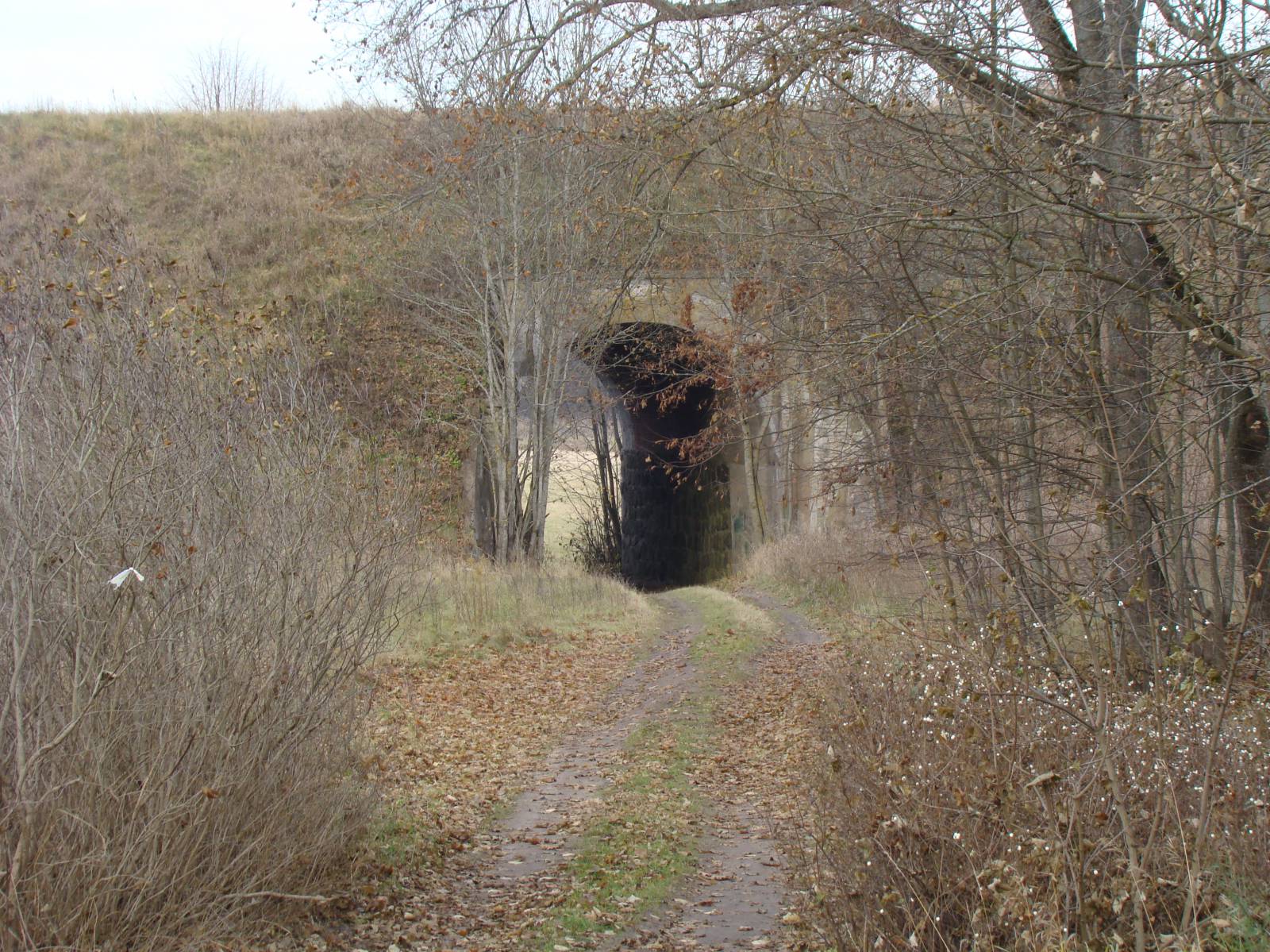
The yellow bike trail in the Gołdap Municipality is a less than 30 km long route in the scenic landscapes of Mazury Garbate (lit. Hunchbacked Masuria) and Puszcza Romincka (Romincka Forest), close to the spa resort of Gołdap. The route features a fairly large difference in altitude to climb and mostly uses dirt roads, so it requires being in a rather good shape. The scenic views in the first part of the route and the enchanting forest expanses at its end are among the advantages. The trail is well marked and offers resting places, however it goes almost in its entirety via very rare sparsely populated areas, so make sure to bring a supply of food and water.
The general route of the trail is as follows: Gołdap, exit road from the town towards the west (0.0 km) - Kośmidry (3.9 km) - Jabłońskie (7.1 km) - Suczki (11.1 km) - Tatarska Góra (12.8 km) - Kozaki (15.6 km) - Jabramowo (17.6 km) - Botkuny (20.4 km) - Jurkiszki (22.7 km) - Ostrówek Lake (25.8 km) - Galwiecie (27.2 km) - Rakówko (28.5 km).
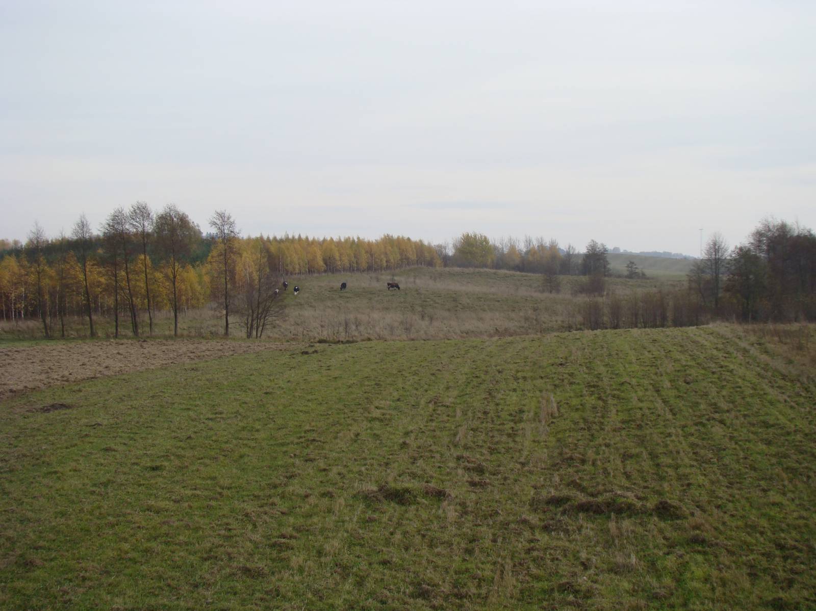
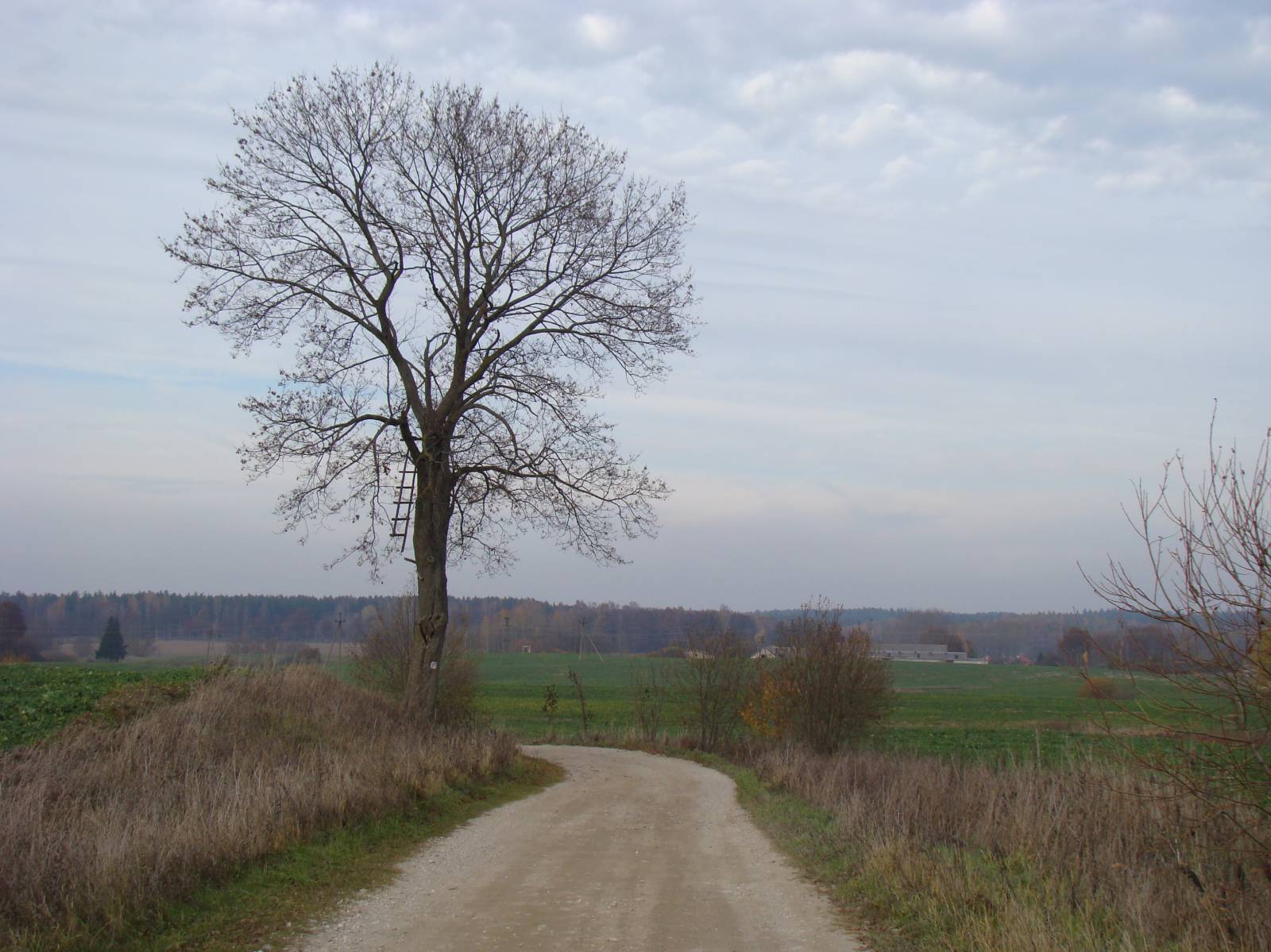
The trail begins in the western part of the town of Gołdap and follows the Valley of the Gołdapa River until it reaches the village of Kośmidry. This right tributary of the Węgorapa is an interesting but hard kayak route. The meandering and picturesque river, with a total length of 89 km, is called Jarka in its upper reaches. The stretches between the village of Kośmidry and Tatarska Góra, and between Tatarska Góra and Jurkiszki are each 10 kilometres long with 100 metres of difference in altitude to climb in both directions. Riding on this section of the route will be associated with a long, tiresome climb. Preparing for the trip, you will need to plan ahead, allot additional time for that and take into account the extra effort. Luckily, there are no steep climbs or descents here. From Tatarska Góra, the trail heads to the south via a section of the former railway line which has partially been transformed into a Green Velo trail. The two trails meet in the village of Jabłońskie, after which the yellow trail keeps going south towards the elevation of Tatarska Góra. To the north of the trail, you can see Piękna Góra, set 272 m above sea level. According to old lore, this was once the site of the castle of a cruel lord. Today, it is a winter sports resort with a chair lift and a restaurant. The yellow trail climbs to the foot of Tatarska Góra. At 308 m above sea level, it is one of the highest peaks of the Szeskie Hills (Wzgórza Szeskie). On the top, it has a nature reserve protecting a small lake surrounded with a peat bog. From this point, the trail turns to the north, in the direction of the Romincka Forest and the Valley of the Gołdapa. A short fragment of the route goes on national road no. 651. Then the trail heads for the village of Botkuny and further, to the village of Jurkiszki, hidden in the woods. The terrain there is heavily forested and hilly. Jurkiszki is one of the oldest settlements of Yotvingian origin in the area. In the middle of the 18th century, it was a major centre of beer-brewing and the production of other liquors. From Jurkiszki, the trail heads through the woods to a small lake called Ostrówek. There are lookout towers here, along with wooden piers on the shore and an educational trail. It all makes for a great spot to rest before continuing the trip. The last leg of the ride goes to the village of Rakówko via provincial road no. 651, passing through the village of Galwiecie, situated on the edge of the Romincka Forest. Returning to Gołdap is best done via the Green Velo trail, which goes to the south of the railway line formerly connecting Gołdap and Żytkiejmy. This line ran through the hilly edge of the Romincka Forest and through the deep valleys of the rivers Jarka, Bludzia and Błędzianka, over which it became necessary to build bridges. Those in Botkuny, Kiepojcie and – the most famous ones – in Stańczyki, have survived until today. Near Botkuny, you can see twin railway bridges, spanning the high banks of the Jarka River Valley. These are three-span concrete structures, about 40 metres long and 15 metres high. With time, the tops of nearby trees have outgrown the engineering marvels built one hundred years ago. The last part of the trail goes to the centre of Gołdap via a bike path along the provincial road. The length of the loop will be about 40 kilometres, which due to the surface and the difference in altitude is a distance suitable for an all-day cycling trip, a quite tiring one at that.
Points of interest along the trail:
- Gołdap - monuments of the city, urban layout, spa, “Las Kumiecie” reserve
- Piękna Góra
- Tatarska Góra
- Wzgórza Szeskie/Mazury Garbate and the Valley of the Gołdapa - vistas
- Romincka Forest
- Ostrówek Lake and Rakówek Lake
The entire trail is suitable for bicycles with panniers/bike trailers. The trail uses solely roads with no motor vehicle traffic allowed or local roads with a low and very low vehicle traffic; no dangerous intersections. Trail offering outstanding vistas.
Starting point:
Gołdap, Żeromskiego street
Finishing point:
Rakówko, Green Velo MOR