
 Highest point
 Lowest point
 Sum of driveways
 Sum of downhill
 Slope
Slope Marking
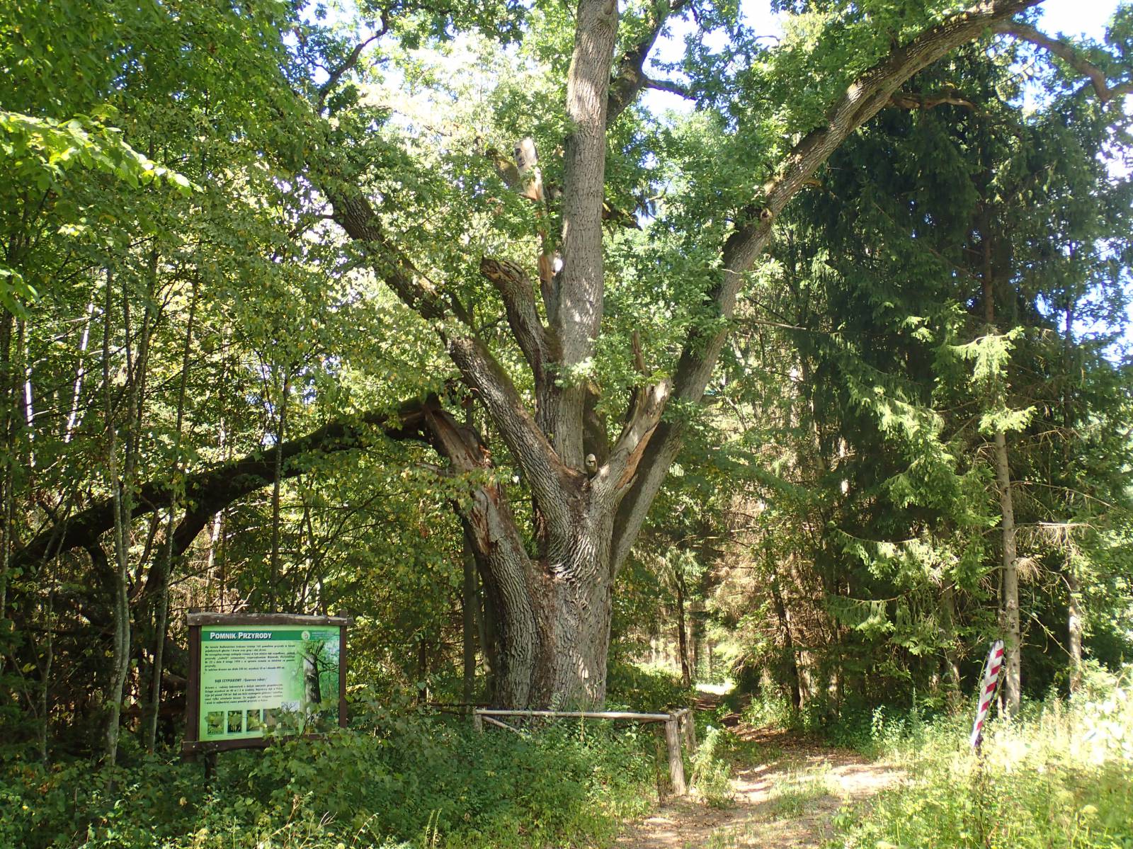
This short trail, marked in blue, makes an 11-kilometre long loop, passing through the woods in the Srokowo Forest District. Several old villages, two nature reserves and the sluices of the unfinished Masurian Canal are among its attractions.
The general route of the trail is as follows: forest parking lot in the vicinity of Osikowo (0.0 km) - Masurian Canal (2.1 km) - Bajory Wielkie (4.0 km) - Osikowo (10.1 km) - forest parking lot in the vicinity of Osikowo (11.5 km).
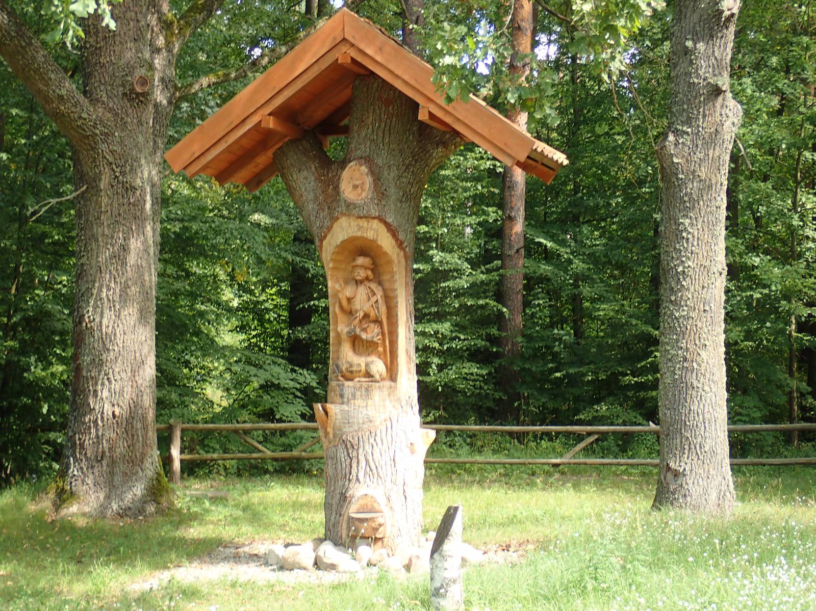
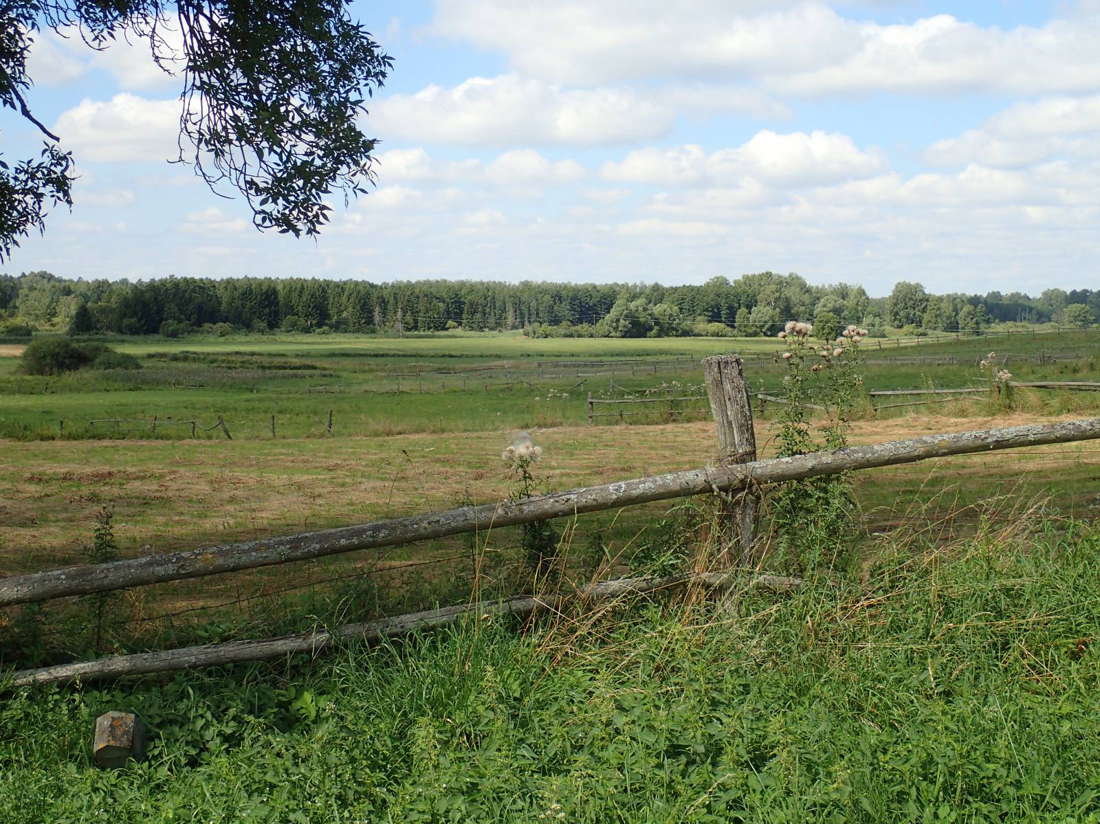
The trail begins and ends at the forest parking lot to the east of Osikowo, on the road to Srokowo. This locality is about 6 kilometres away from the parking lot. Srokowo was formerly a city. Its municipal rights, however, were revoked after the devastation brought about by the last years of World War II. The first mention of the village of Dryfort, as Srokowo used to be called in the past, dates from the late 14th century. Located on the Omet River, the town was small and never had any city walls. The urban past of Srokowo is evidenced by the 18th-century Baroque town hall with the preserved coat-of-arms of the Brandenburg Prince-elector, John Sigismund. Other precious monuments of the village include the Gothic church of the Exaltation of the Holy Cross from the 15th century and an 18th-century granary. The place got its current name in 1950, in honour of the Polish geographer Stanisław Srokowski, head the State Commission for the Determination of Place Names, assigning Polish names to German villages which were incorporated into Poland after 1945. In the first part, the trail goes through forests, using dirt roads. Since there are almost no markings at all, you will need a map or a GPS trace. Otherwise, you run a high risk of getting lost. The first stop is a bridge over the Masurian Canal. This unfinished hydro-technological project was designed to connect the Great Lakes of Masuria with the Baltic Sea via the Pregoła River. Near Leśniewo, at the beginning of the canal, you can see huge concrete sluices. Unfortunately, the northern part of the canal is heavily destroyed and overgrown. Near the bridge, about 600 metres to the south, you can see the unfinished sluice of Bajory Małe. Getting to it requires passing through a forest of nettles, but this mysterious structure is well worth seeing. The trail continues via the villages of Bajory Małe and Bajory Wielkie, back to the Masurian Canal. From here, the trail turns south and passes close to the nature reserves, Kałeckie Błota and Bajory. This part of the trail is typical of forest paths, with dirt roads full of weeds. The two nature reserves protect swamp vegetation. The forest marshes provide the habitat for many animal species, including rare predators, such as wolves and otters, as well as big herbivores. On the trail, you can encounter several beautiful monumental trees, including huge oaks. It’s the habitat of the moose, as well as of many protected species of birds. After a few kilometres in the woods, the trail comes back to the point of departure at the forest parking lot.
Points of interest along the trail:
- Woods of the Srokowo Forest District - nature reserves: Kałeckie Błota and Bajory.
- Masurian Canal
Not all fragments of the trail are suitable for bicycles with panniers/bike trailers. The trail uses solely roads with no motor vehicle traffic allowed or local roads with a low and very low vehicle traffic; no dangerous intersections. Recreational character.
Starting point:
Forest parking lot in the area of Osikowo
Finishing point:
Forest parking lot in the area of Osikowo