
 Approximate driving time with sightseeing
 Highest point
 Lowest point
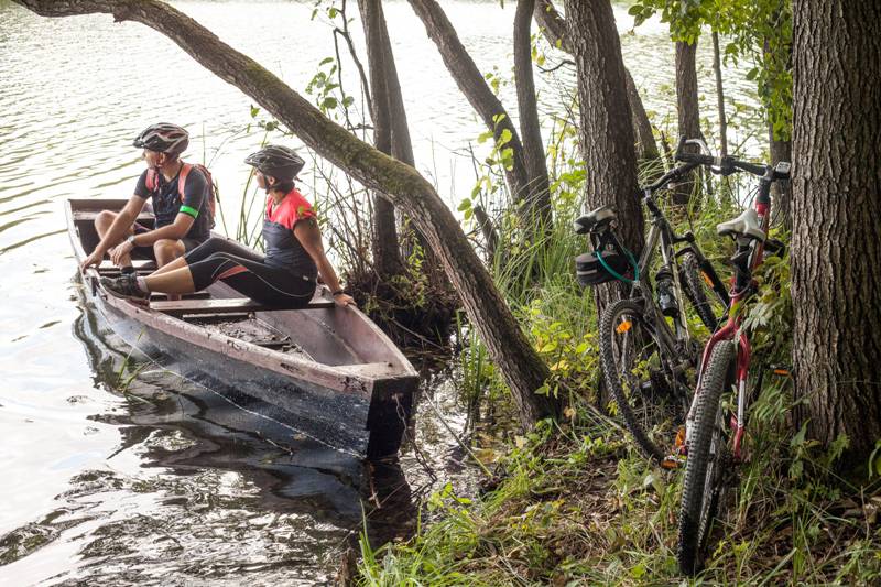
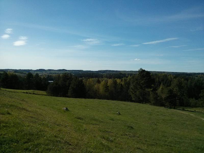
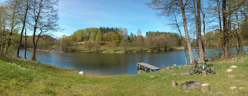
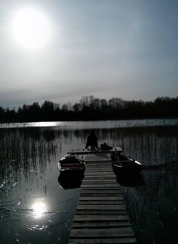
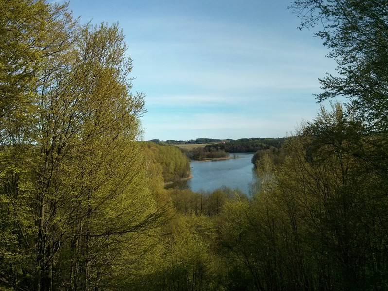
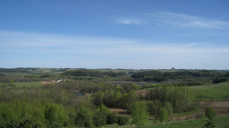
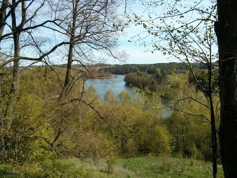
A route of special scenic value. Driving through the eastern side of the Suwałki Landscape Park provides a one of a kind opportunity to admire the well preserved post-glacial landscape, with numerous moraine hills and lakes. Góra Zamkowa, with clear traces of a historical fortified settlement, is surrounded by four lakes. The conical Góra Cisowa is called the Fuji of Suwalszczyzna. In Smolniki, there is a vantage point on the lakes considered the most beautiful grouping of lowland lakes in Poland. Over the ribbon lake Szelment Wielki (suitable for swimming), rises the Jesionowa Góra.
The cycling journey through the magical Suwalszczyzna begins in Jeleniewo – a place worth stopping by. In Szurpiły, turn right to Góra Zamkowa. Thanks to signboards on the route, you can learn the history of Yotvingian settlement in Suwalszczyzna. At the beginning of the Targowisko village there is a view of Lake Szurpiły. And now the challenge - climbing Góra Zamkowa (228 metres above sea level).
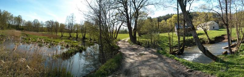
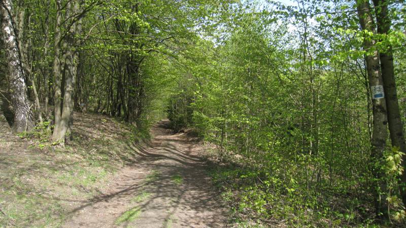
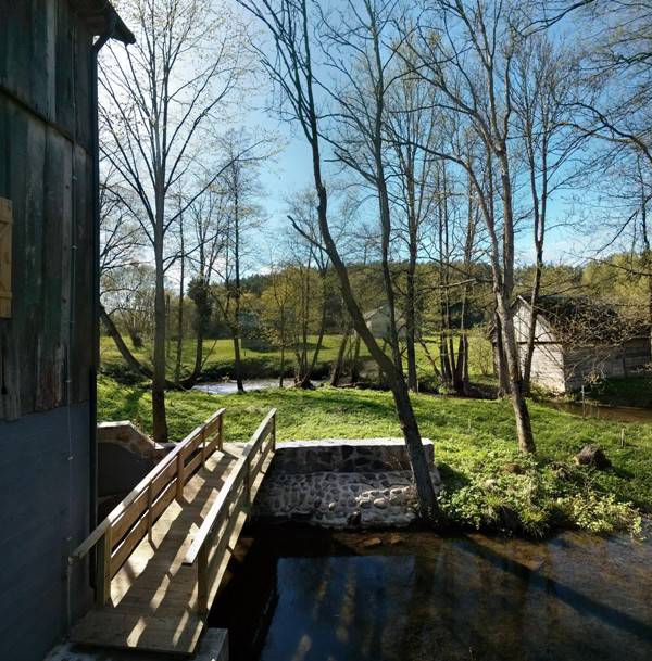
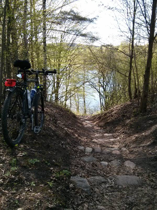
After descending from the top you have to continue in the direction of Góra Cisowa, the symbol of Suwalski Landscape Park. From the ”bald spot” of Góra Cisowa (256 meters above sea level) you can admire yet panorama of the post-glacial landscape of Suwalszczyzna. After returning to the road, turn left immediately and continue along the black trail in the direction of Smolnik. Along the way, you pass the renovated old water mill and a forest area, behind which Lake Kojle shimmers on the right. This is how you arrive in Smolniki with its accommodation and catering services. Then you continue through the Kleszczówek village, pass the next lakes and reach the road no. 655 leading to Suwałki between the Sidory and Gulbieniszki villages. Opposite the parking lot at Góra Cisowa, turn left to Podlasie Stork Trail, marked in red, which leads with its gently rolling slopes to the shore of the long narrow Szelment Wielki lake. Cyclists who have enough energy and desire can climb Góra Jesionowa (251 meters above sea level, ski lift), offering a panorama of the Suwalki Landscape Park.
Route:
- Jeleniewo (0 km)
- Szurpiły (3 km)
- Góra Zamkowa (6 km)
- Góra Cisowa (parking, 9.3 km)
- Góra Cisowa (9.7 km)
- Udziejek Dolny (mill, 12.4 km)
- Smolniki (viewpoint, 16.5 km)
- Kleszczówek, Sidory (19.7 km)
- Gulbieniszki (parking at Góra Cisowa, 21.8 km)
- Lake Szelment (WOSiR centre, 31.1 km)
- Jeleniewo (36.1 km)
Route options:
- Faster and easier option: to Góra Zamkowa, and then the red Stork Trail from the parking lot to Lake Szelment, and returning to Jeleniewo.
- After crossing the road towards Suwałki in Gulbieniszki, the longer variant leads along a blue hiking trail, the marking of which is quite scarce. The only recommended way to travel the route is to use the GPX trace. The trail leads through the isthmus between Szelment Mały and Szelment Wielki lakes.
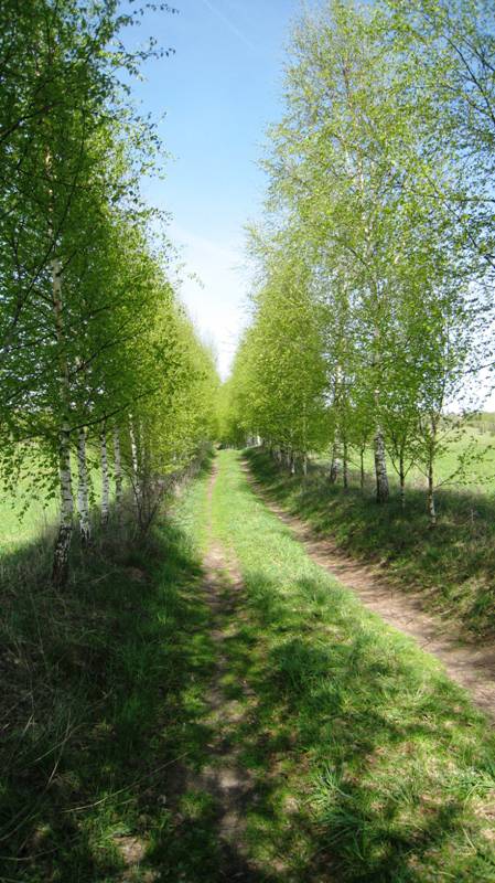
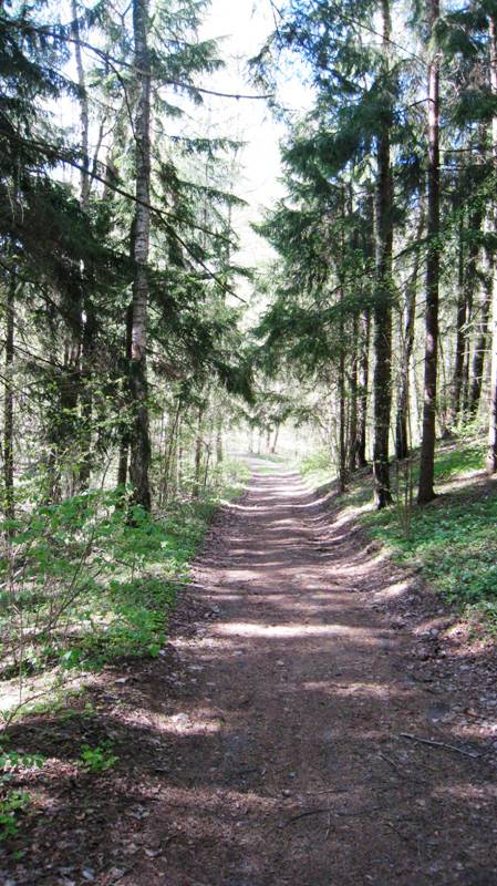
Surface:
- Asphalt roads: 60%
- Dirt roads, with sandy fragments, and a forest section: 40%
- Route of medium difficulty
- Short climbs and descents on dirt roads that require physical exertion
The route is partly marked:
- The beginning from Jeleniewo: connects with Green Velo
- Szurpiły: blue educational trail to the Góra Zamkowa
- Yellow PTTK trail to Gulbieniszki: to an asphalt road that turns to the left (1.5 km)
- Behind the parking at Góra Cisowa - towards Udziejek: black PTTK trail to Smolniki
- Vantage point in Smolniki - the road to Suwałki: asphalt road (2 km)
- Parking on Góra Cisowa - Lake Szelment: Podlaski Stork Route
- Back to Jeleniewo: asphalt road
Tourist attractions on the route:
- Jeleniewo – a historic wooden church from the 19th century.
- Szurpiły – Memorial Chamber of the Yotvingians, opened in 2014.
- Góra Zamkowa (228 m above sea level) – It is on Góra Zamkowa that the tribal centre of the Yotvingians was located. From here stretches a beautiful panorama of Lake Szurpiły, the second largest after the Hańcza.
- Smolniki – at the end of the village there is the platform U Pana Tadeusza, perched on the edge of the Lake Szeszupa escarpment. It offers the most beautiful view. This is where Andrzej Wajda and Tadeusz Konwicki shoot scenes for their movies. Below lay the kettles of Lakes Kojle, Perty and Purwin (names are derived from the Lithuanian language).