
 Highest point
 Lowest point
 Sum of driveways
 Sum of downhill
 Marking
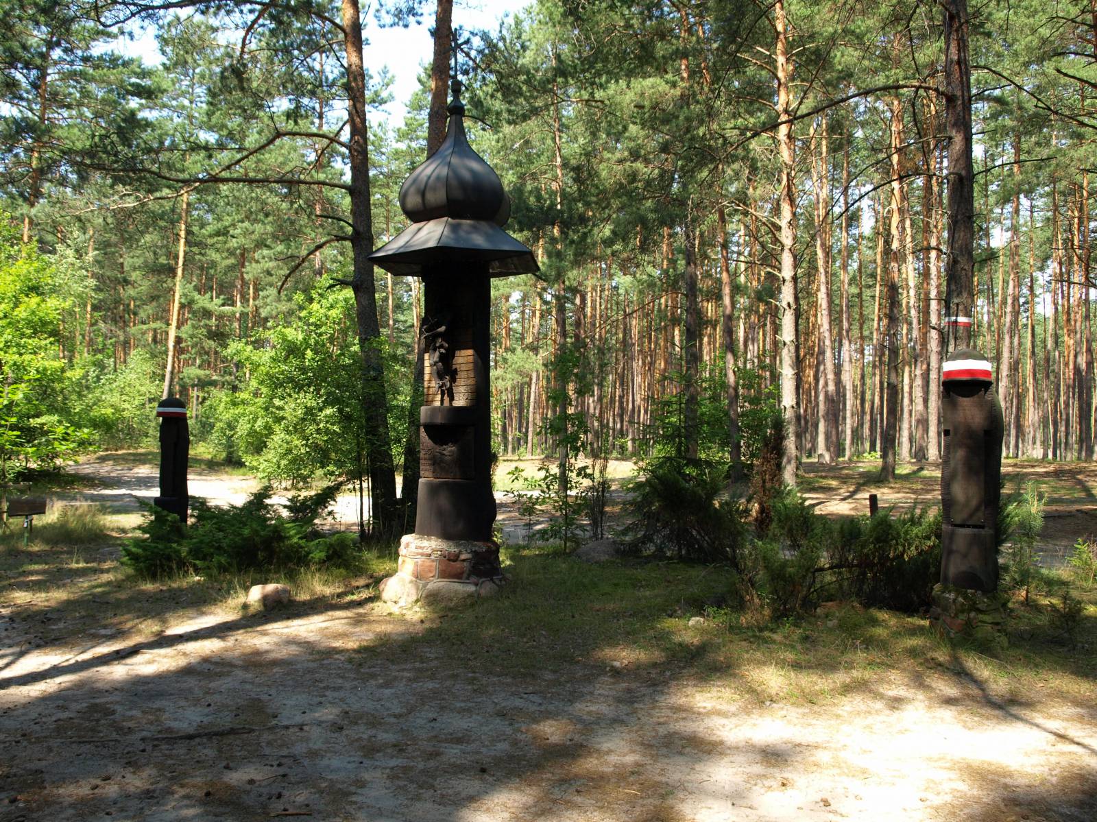
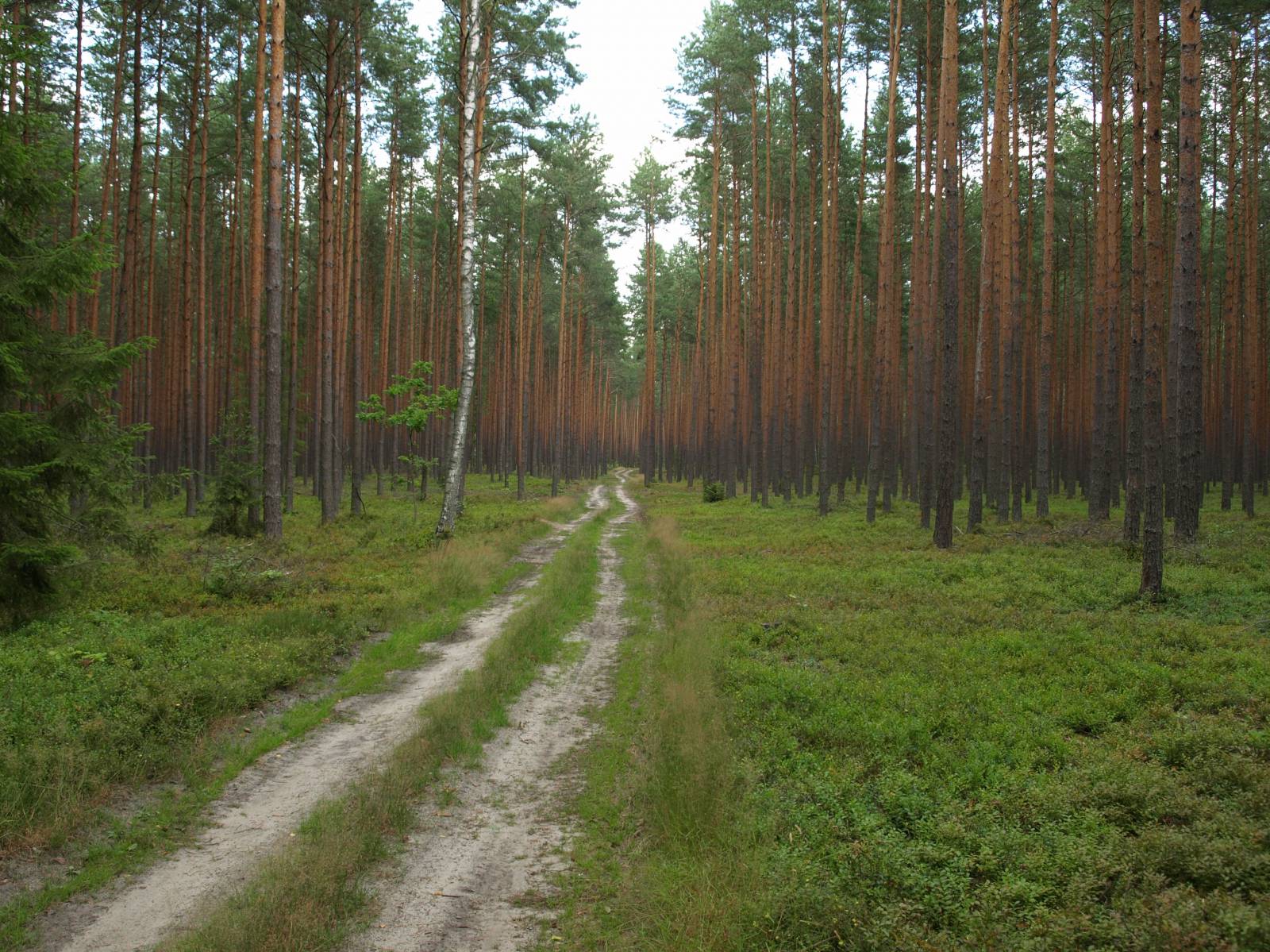
The Expedition to the Forest Treasure Bike Trail runs for over 50 km through the mysterious, waterlogged Janów Forests. Its route follows a spiral shape, with its start in the locality of Janów Lubelski and its end in the village of Szklarnia. It runs over the sandy roads of the Janów Forests and due to its surface it requires being in good shape and it is only passable on MTB bikes.
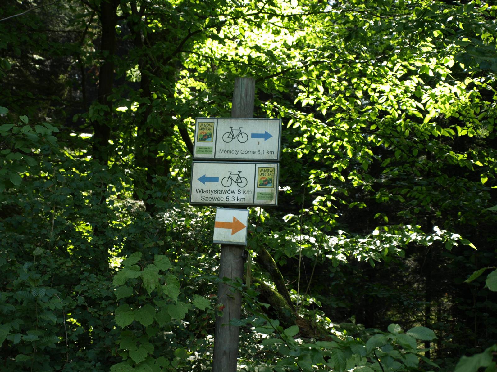
The general course of the trail is as follows: Janów Lubelski (0.0 km) – artificial lake (2.1 km) – “Kruczek” forest wilderness(4.0 km) – the Janów-Szklarnia road (6.8 km) - Porytowe Wzgórze (13.4 km) - Szewce (21.0 km) - Momoty Górne (28.5 km) - Momoty Dolne (31.2 km) - Łążek Ordynacki (40.5 km) - Szklarnia (50.3 km).
Almost the whole route runs through a dense, waterlogged forest complex, where there are numerous monuments and memorabilia of partisan battles that took place during World War II. Numerous information boards allow you to get familiar with the attractions of the area and the history of the region. The route is signposted only as one-way (from Janów towards Szklarnia) and it is quite incomplete, and moving along the route requires a map, since the long sections of the route are without signposting.
The trail starts in the centre of Janów Lubelski. In first section of the route, you should beware of the road traffic. Then you should head south and pass the Janów Artificial Lake - a resting place popular with residents. We pass the “Kruczek” Forest Wilderness, where there is a monument and a shrine commemorating partisans and the Stations of Cross in the forest. From there, through the woods, the route runs southeast, beside Porytowe Hill - the place (probably) of the largest partisan battle of World War II.
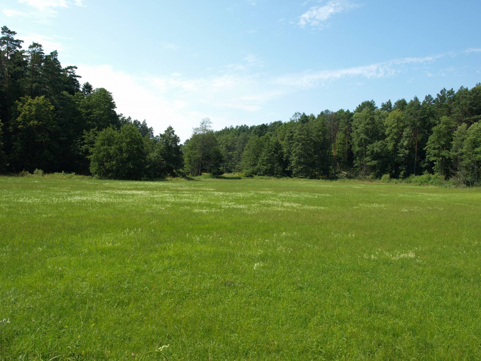
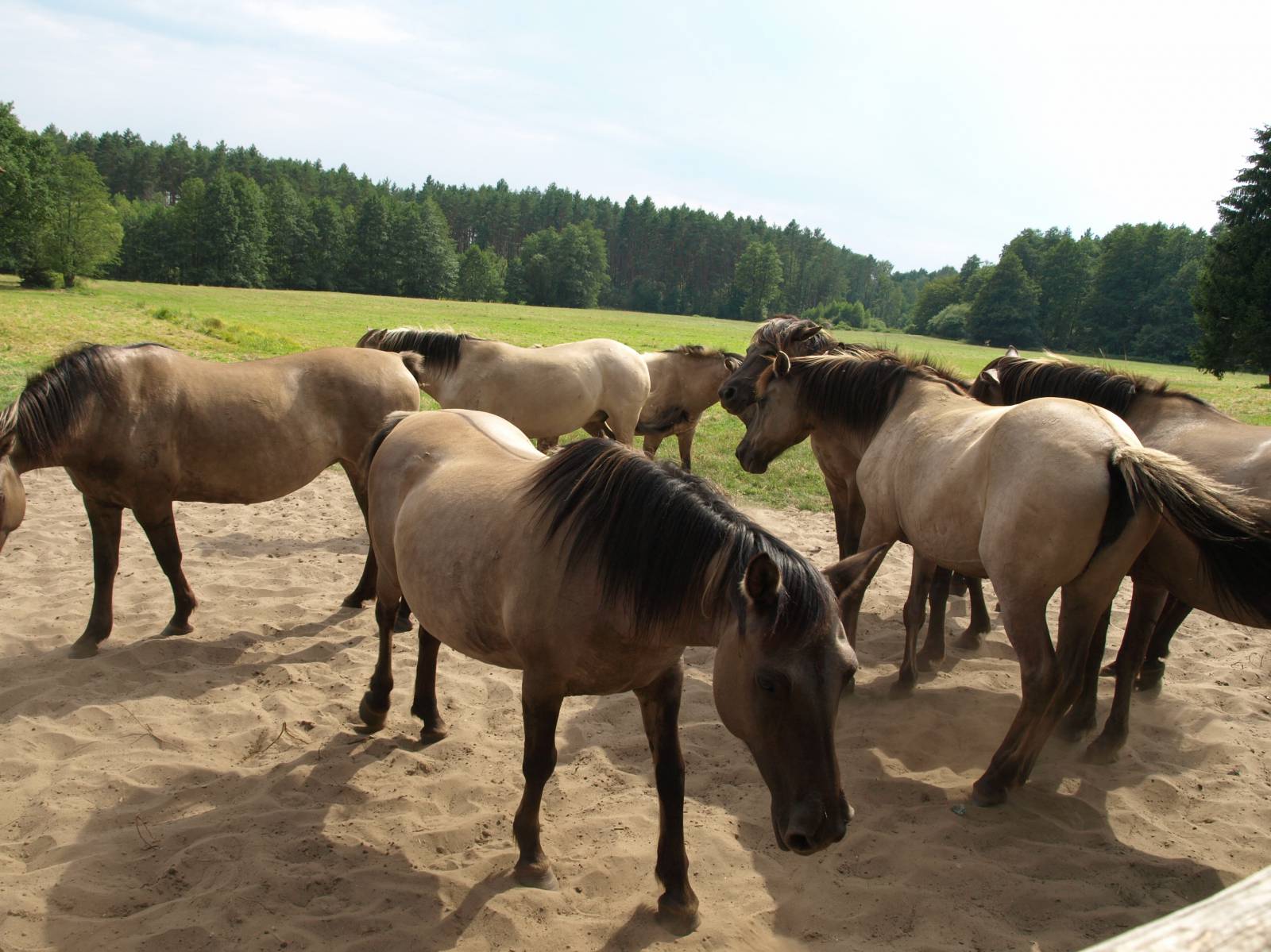
Then the trail runs on sandy forest roads and reaches the village of Szewce, from where it runs to the village of Momoty Dolne along a local asphalt road in the Bukowa river valley. On the way, it is worthwhile to see a wooden church in the village of Momoty Górne and a complex of fish ponds, which is a habitat of numerous waterfowl species. More or less from this place, the trail re-enters the forest roads, still running near the Bukowa River to the village of Łążek Ordynacki. In the neighbouring village, Łążek Garncarski, pottery traditions have survived until today. They can be admired in the three workshops that are still open today. In 19th century it was a well-known regional centre of pottery. Further down, the trail turns back into the forests, running on the forest roads to the village of Szklarnia, located in the heart of the Janów forest complex. There, you can see the Polish Horse Refuge.
The return to starting point of the route is possible, for example, along the green trail running to the Janów artificial lake. The road runs due north to the locality of Janów Lubelski, 6 km away, running this time along the other shore of the artificial lake (the Clay Pots green trail).
If it were not for its terrible surface, then the route running across the forests, away from busy roads and almost flat terrain would be perfect for a family trip. However, nearly 30 km of sandy or rubble-covered roads disqualify the route for this group of cyclists.
Points of interest along the trail:
- The Janów Forest Landscape Park (landscape park)
- Places of partisan battles, cemeteries and monuments commemorating the skirmishes (e.g. “Kruczek” forest wilderness)
- Wooden church in the village of Momoty Górne
- Polish Horse Refuge in the village of Szklarnia
- Fish ponds - birds refuge between the villages of Momoty Górne and Momoty Dolne
Not all fragments of the trail are suitable for bicycles with panniers/bike trailers. The trail uses solely roads with no motor vehicle traffic allowed, or local roads with low and very low vehicle traffic; no dangerous intersections.
Starting point:
The locality of Janów Lubelski , park in Zamoyskiego street
Finishing point:
Rest area for cyclists in the heart of the village of Szklarnia