
 Approximate driving time with sightseeing
 Highest point
 Lowest point
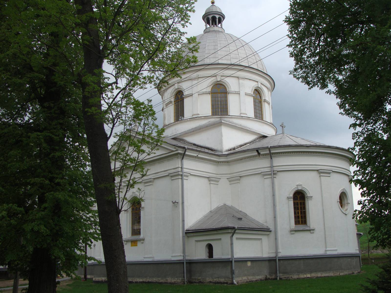
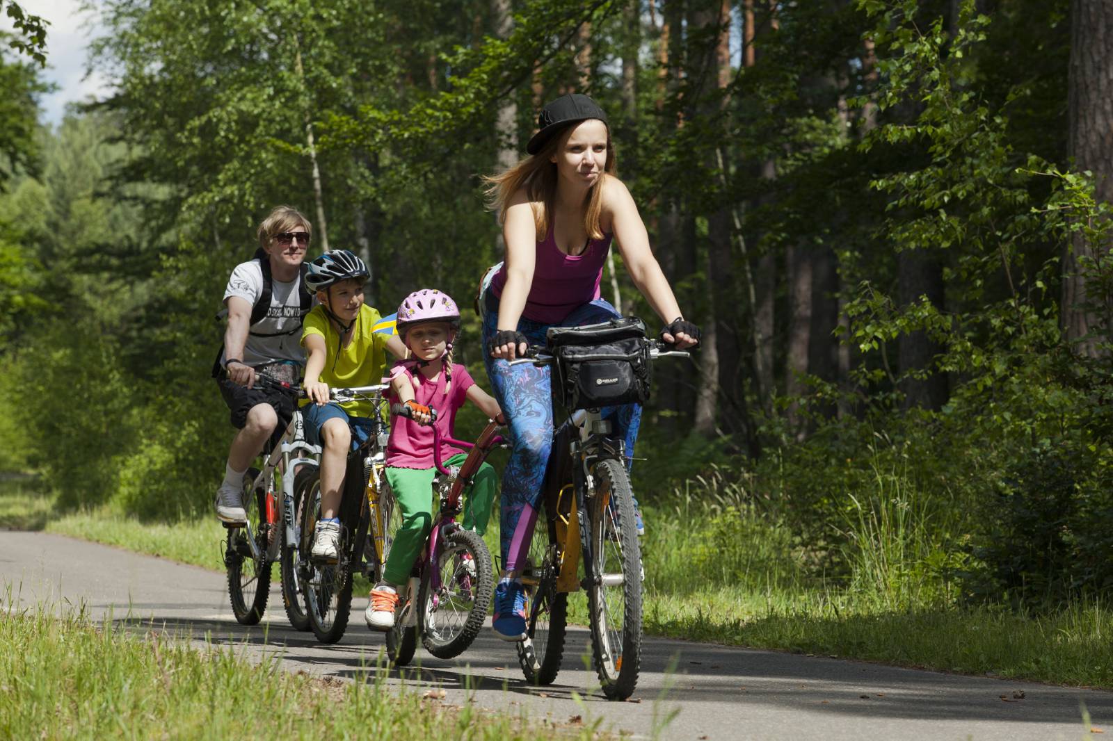
The excursion following in the footsteps of Ruthenian settlers is an excellent choice for people who want to know the history of the former inhabitants of southern Roztocze. The route largely leads through the South Roztocze Landscape Park. Awaiting cyclists is an excellent excursion through the forgotten areas of Podkarpackie Voivodeship.
The excursion begins in Werchrata. After 200 metres, you will reach an intersection, where you should turn right. The next section of the route leads alongside railway tracks. You will pass through the town of Dziewięcierz and just before Horyniec, on the left, you will pass the spot where the European Watershed flows past. Riding downhill, you can see the buildings of Horyniec-Zdrój down below. From there, head north along the Green Velo trail. After approx. 4 km from the centre of the village, you will reach Nowiny Horynieckie, where the asphalt road ends and the gravel road begins. This is also where the trail markings change – you will leave the Green Velo trail and start along the red bike trail Nad Brusienką. Riding through the forest, you can admire the flora and fauna of the South Roztocze Landscape Park. At kilometre 20, you will reach an important intersection of forest roads. Here, you should leave the red bike trail that heads north to the left and follow the route straight ahead. After 25 km, you will reach Road No. 867, and turn right towards Werchrata at the intersection. The excursion ends at the starting point.
Route:
- Werchrata (0,0 km)
- Dziewięcierz (4,5 km)
- Horyniec-Zdrój (12,0 km)
- Nowiny Horynieckie (16,0 km)
- Werchrata (26,0 km)
Surface:
- Asphalt: approx. 65%
- Gravel: approx. 35%
Partially marked route:
- Horyniec-Zdrój – Nowiny Horynieckie: Green Velo
- Next section: red bike trail Nad Brusieńką
Tourist attractions on the route:
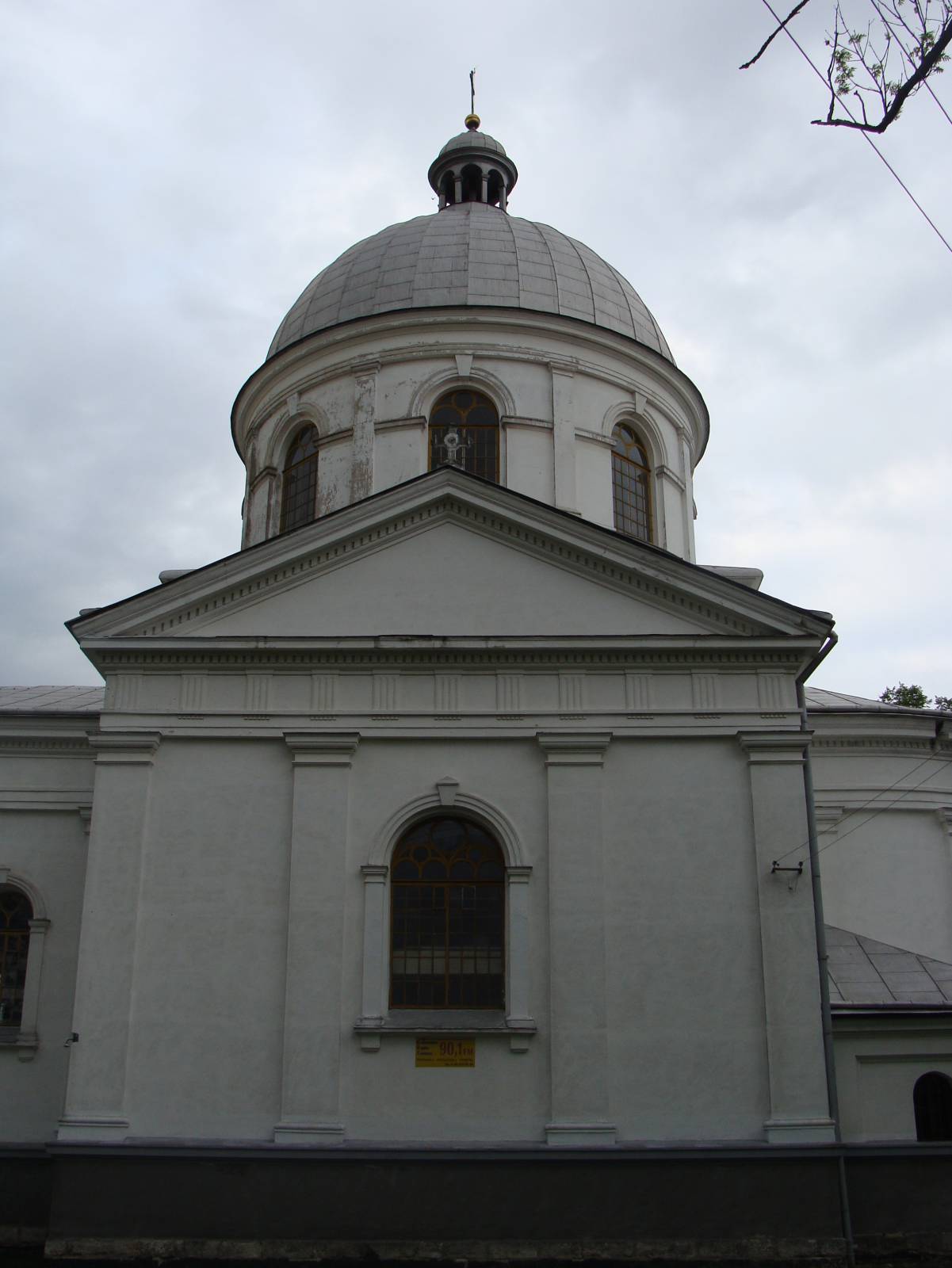
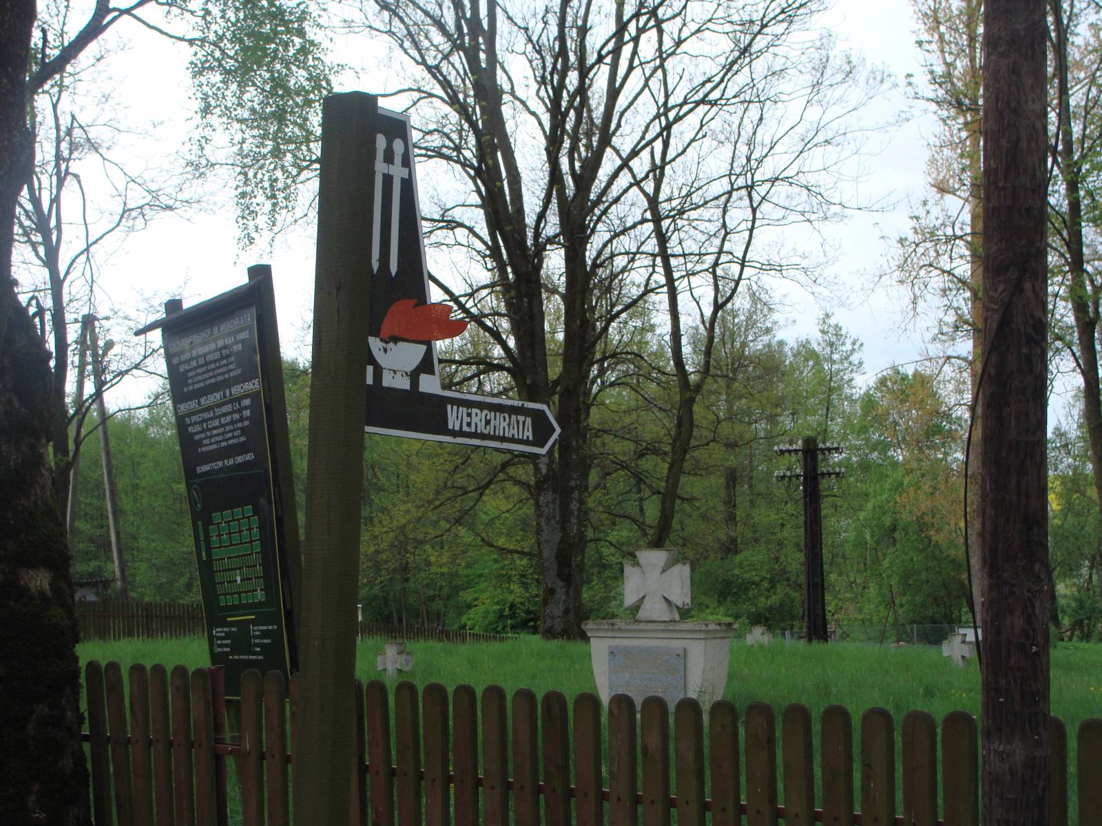
- Werchrata – the village in the heart of Southern Roztocze is a good starting point for other trips. Nearby on a hill stands a monastery with the ruins of a Basilian monastery, the Devil’s Rock boulder, Krągły Goraj peak, and Orthodox churches in Pruś and Wola Wielka. In the town, there is an interesting Catholic church transformed from the Orthodox church of St George. It is also worth seeing the military cemetery from World War I, renovate through Austrian efforts.
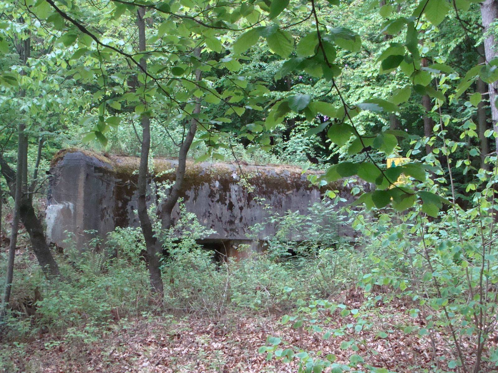
- Dziewięcierz – in the town, you will find several Molotov Line bunkers, the Sołokija juniper preserve and in the hamlet of Moczary, you can see the ruins of an Orthodox church. Along the voivodeship road, in old farmsteads, a Highland Cattle farm has been set up. The European Watershed flows through Dziewięcierz, resulting in numerous seepage spring areas and river faults (Kaskady Sopotu).
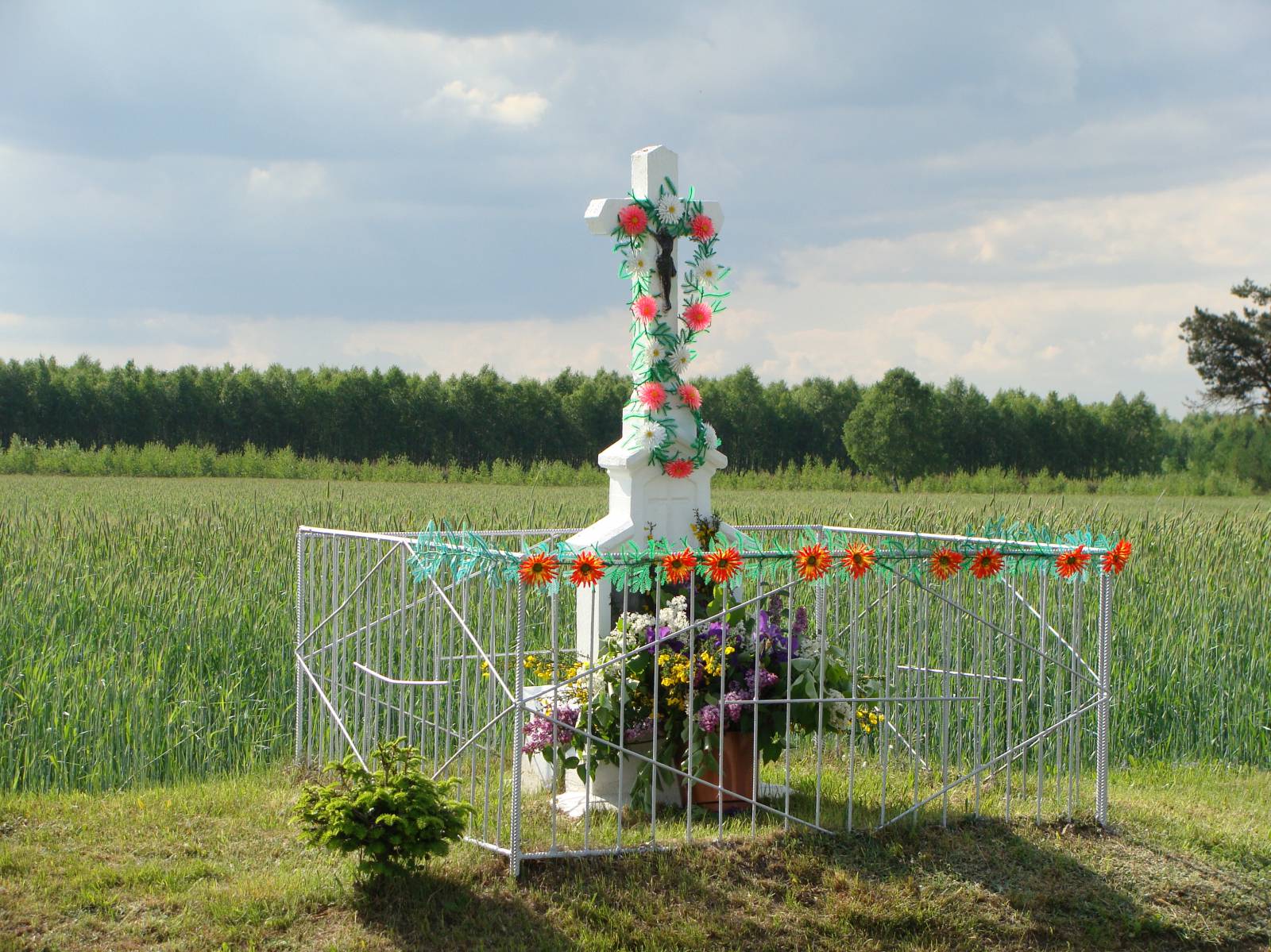
- Nowiny Horynieckie – between the hills of Roztocze is a chapel of the Virgin Mary, which is said to have been the site of Marian apparition. In a deep ravine surrounded by beech trees, a temple was built with a water spring that supposedly has healing effects on the eyes. Additionally, a military cemetery is located in the village. Nowiny is a good starting point from which you can take a trip to the Temple of the Sun – a stone circle that is said to be a place of worship in pre-Christian times.