
 Approximate driving time with sightseeing
 Highest point
 Lowest point
 Connected with GreenVelo
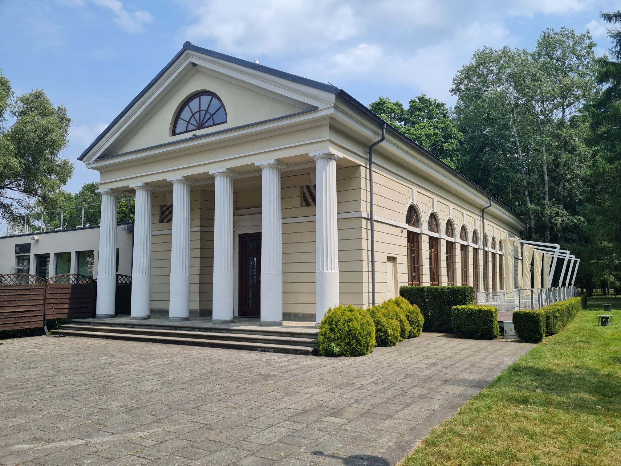
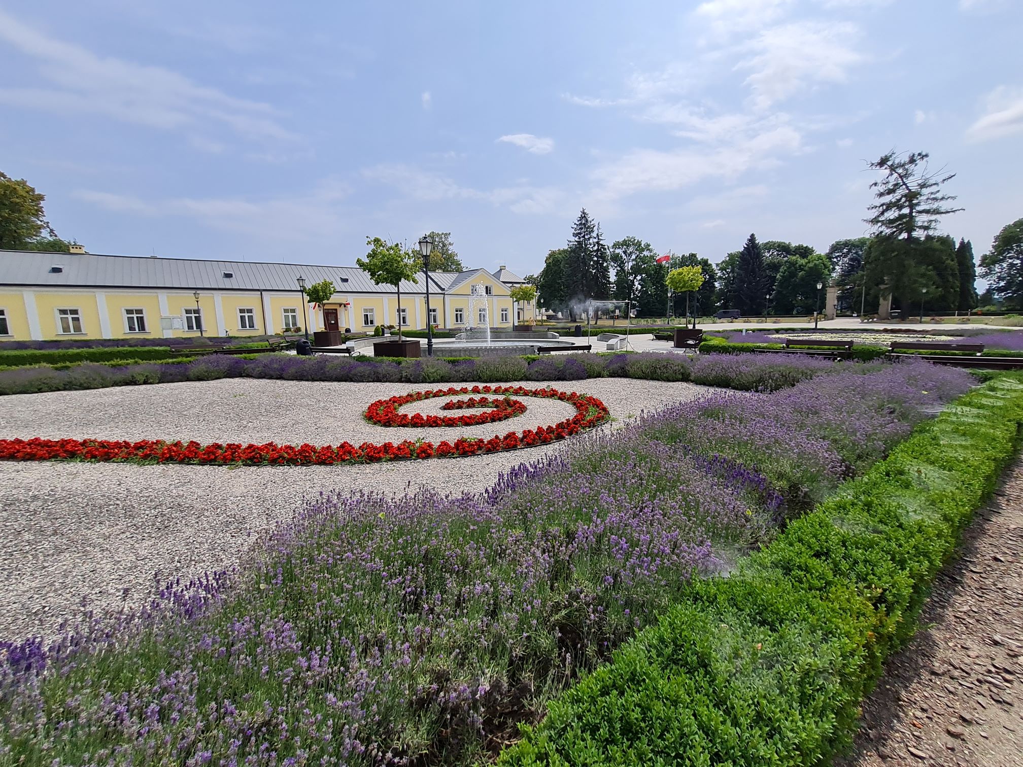
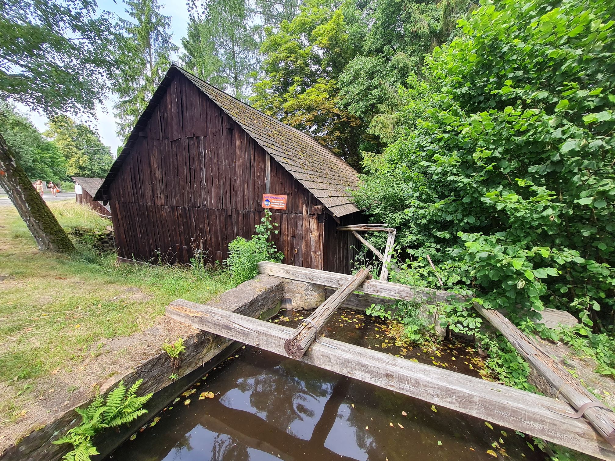
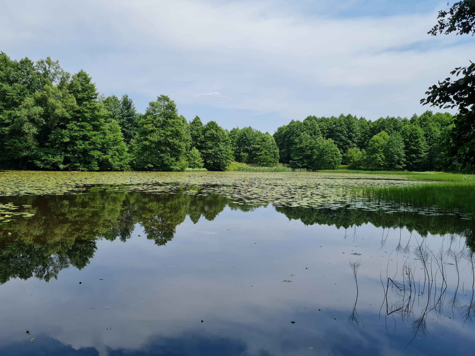
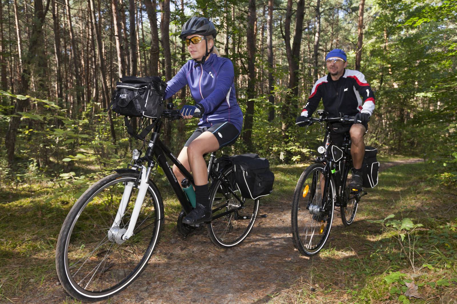
Only a few centuries ago, the picturesque streams and reservoirs in the Końskie area fed energy to the grain and hammer mills working here. Today, you can recover your strength and rest on their shores, surrounded by the Końskie forests. Enjoy a bike ride through Końskie and its vicinity, where you can find out about the history of the town that once belonged to the Great Crown Chancellor Jan Małachowski, admire the architecture that refers back to ancient buildings and discover the secrets of the Końskie forests.
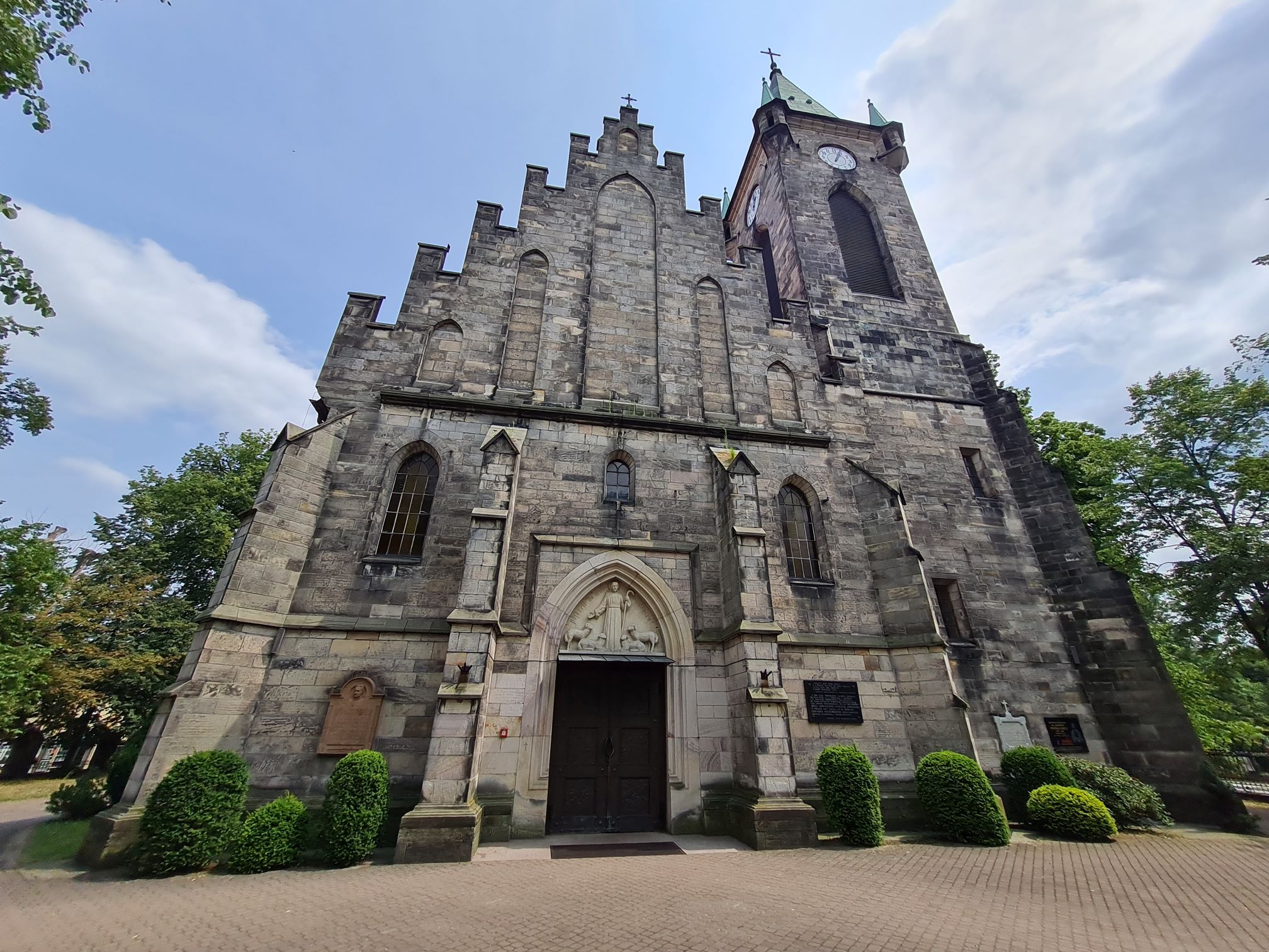
The cycling adventure in the Końskie region begins at the car park in the vicinity of the Browary district, next to the church of St Anne and John the Baptist. Heading down Aleja Katyńska, and then down Południowa Street, Polna Street and Kielecka Street, you will reach the foot-and-bike path system and leave the city. On the way, you will pass reservoirs and river culverts. After passing through the Kornica-Końskie development area, you will reach the red bike trail. On the other side of the railroad crossing and the busy road no. 728, the trail heads into the woods. After reaching Młynek Nieświński, you will cross voivodeship Road No. 749. Traveling along this not-too-busy road, you will reach Stara Kuźnica, passing through Czysta, Drutarnia and Chełb. From Stara Kuźnica, the long road leads through the woods to the town of Piła. On the way, you will pass the Stoki forestry lodge, where you can rest. From Piła, the trip continues, and you turn right near the statues. Later, along a not-too-busy road, you pass through the towns of Szabelnia and Górny Młyn, go past reservoirs on the Czysta River and, after crossing the railroad tracks, return to the starting point along a dirt road and city streets. You can extend the trip by taking Browarna Street to reach the palace and park complex.
Route:
- Końskie – 0km
- Kornica – 6km
- Nowa Barycz – 7,5km
- Stara Barycz – 8,5km
- Młynek Nieświński – 11km
- Drutarnia – 13km
- Chełb – 14km
- Stara Kuźnica – 15km
- Źródełko przy Leśniczówce- 16km
- Piła – 20km
- Górny Młyn – 22km
- Końskie - 23,9km
Route options: Leaving the city, after meeting up with the black bike trail, you can head towards the town of Proćwin and then follow the red trail to the town of Piła through Sielpia (16.5 km).
Surface:
- Dirt roads: 45%
- Asphalt roads: 55%
- Foot and bike trail in Końskie: 2,5 km
The route is marked according to PTTK standards in various colours:
- Kornica – Piła: red
- Segment on the Końskie ring road – black, approx. 200 m
Tourist attractions on the route:
- The 18th century Church of St Anne and John the Baptist in Końskie, the palace and park complex in Końskie, the 15th century Church of St Nicholas in Końskie - information can be obtained at the Tourist Information Centre in Końskie, ul. Partyzantów 1, 26-200 Końskie, pkone: +48 41 372 90 88, e-mail: informacja@konskie.travel, www.konskie.travel ;
- Hammer mill (Stara Kuźnica 46, 26-200 Końskie, phone: +48 41 371 91 87)
- Piła – the 19th century Tarnowski Manor