
 Highest point
 Lowest point
 Sum of driveways
 Sum of downhill
 High slope sections
 Connected with GreenVelo
 Slope
Slope Marking
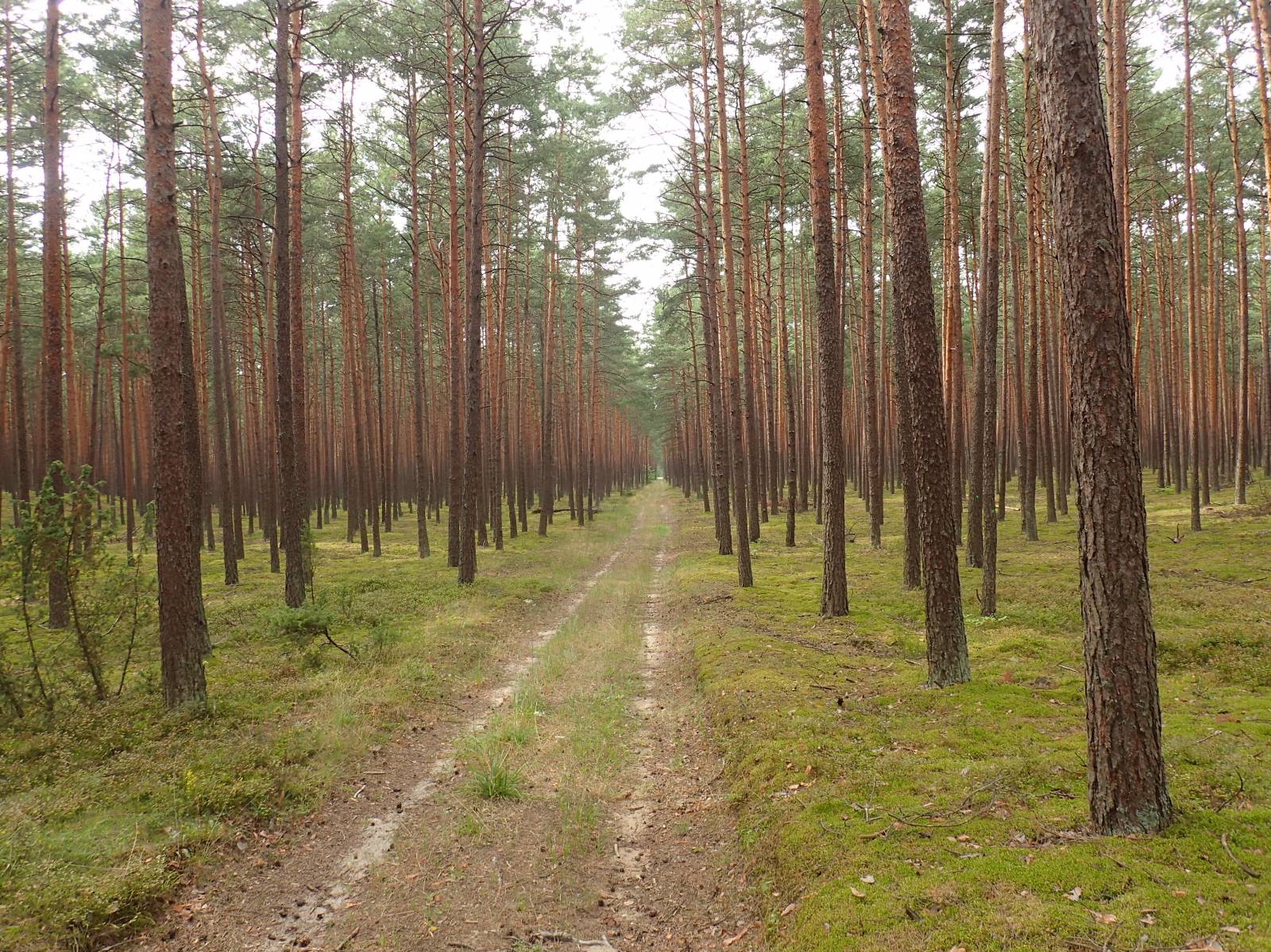
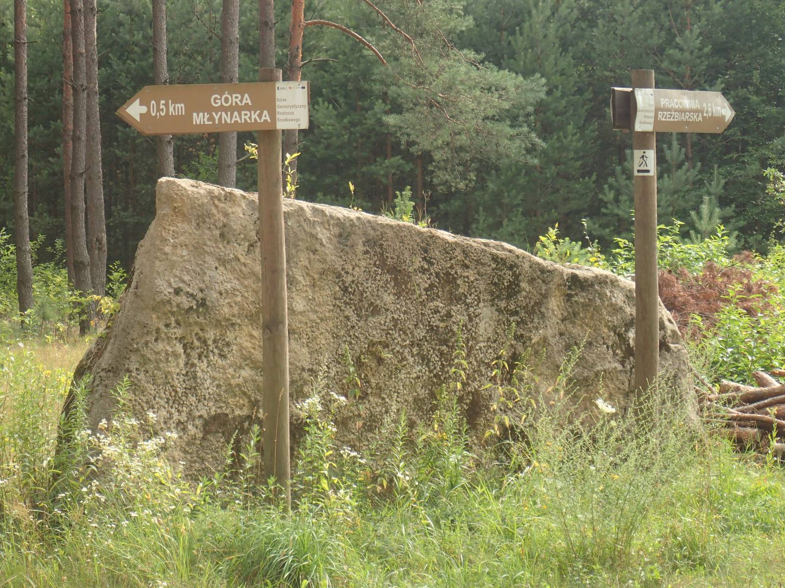
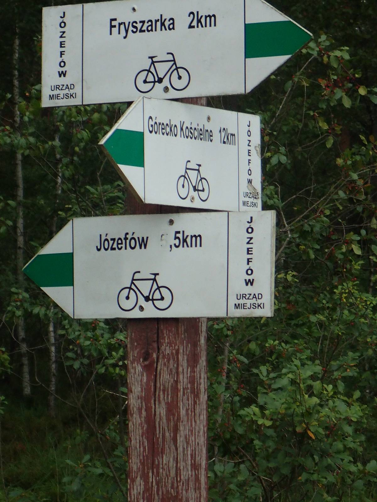
The Józefów Land Bike Trail runs through the area of the Józefów Municipality. It starts and ends in this picturesque town, rich in monuments. It is well-signposted, and green colour signposts are systematically renewed.
The trail has a circular shape with a circumference of approximately 55 km. The distance to the locality of Józefów slightly exceeds 5 km, but to finish and start the route at this place you have to pass this section twice. Similarly, one should count the access to the village of Borowe Młyny over the Tanew river, approximately 3 km one way. In total, to cover the whole route, you have to pedal over 70 km. The route runs through numerous very interesting sites, and the cyclist can see some really interesting tourist attractions on the way.
The general course of the trail is as follows: Józefów (0.0 km) - Sopot River (7.4 km) Borowe Młyny, Tanew (17.6 km) - Czartowe Pole (27.7 km) - Majdan Sopocki, lagoon (31.8 km) - Ciotusza Stara (35.3 km) - Wola Husińska (38.9 km) - Stanisławów (43.3 km) - Szopowe (49.0 km) - Majdan Kasztelański (53.1 km) - Górecko Stare (55.5 km) km) - Górecko Kościelne (58.5 km) - Tarnowola (61.3 km) - Józefów (74.5 km).
Even Józefów itself, where the route begins and ends, deserves special attention. The town has a very well preserved historical spatial layout with a secluded market, a historic church and town hall, and a renovated synagogue that now houses a library. It is worthwhile to see numerous sculptures from locally sourced sandstone. At the border of the village there is a very interesting, former quarry with a vantage point and the former Jewish cemetery, now a place of remembrance. There are also shops, restaurants and a tourist information desk.
More than half of the Józefów Land Route runs through the vast forest complexes of the Solska Wilderness. It is an area of vast, pine forests, mostly covered with sandy areas, crisscrossed by numerous marsh complexes. This inaccessible territory witnessed many partisan battles during World War II. At many places we can encounter boulders and plaques commemorating the struggles of that time. The trail crosses numerous, fast rivers with gorges and picturesque waterfalls - the famous “murmurs”, as the waterfalls of the Roztocze region are known. You can see them near the locality of Górecko Kościelne, as well as near the locality of Czartowe Pole. A part of the route runs along the valleys of the rivers named Szum, Niepryszczka, Sopot, running also to the largest of them – the Tanew river, near the village of Borowe Młyny, hidden in the heart of the Solska Wilderness.
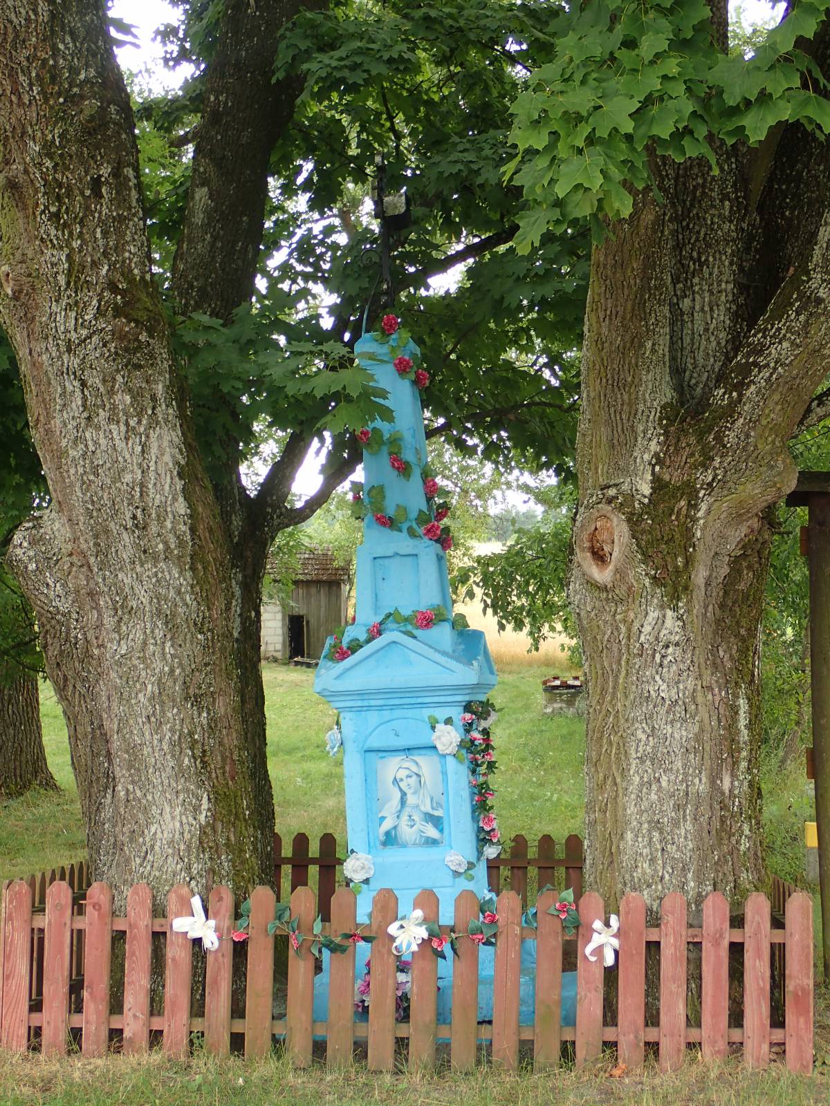
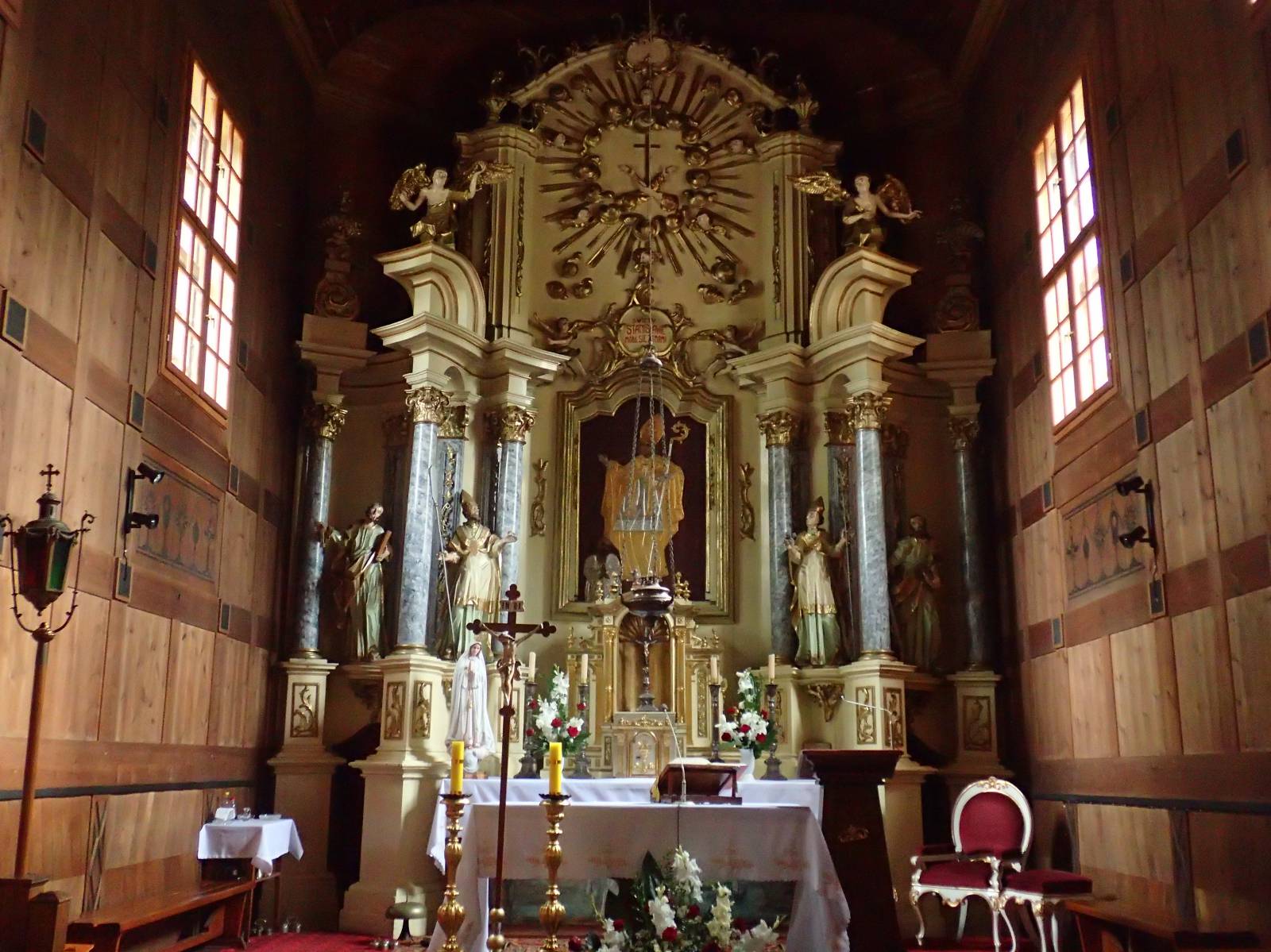
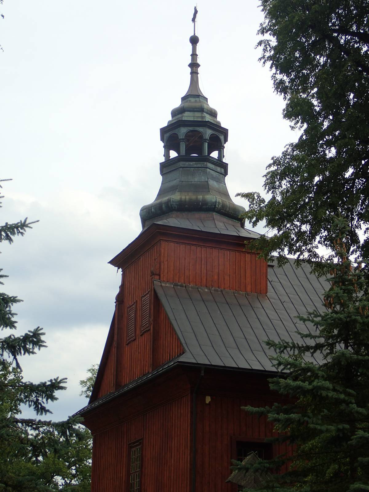
On the trail, we encounter numerous old, wooden cottages and many historic, rural shrines. Very interesting religious monuments can be found in the locality Górecko Kościelne. This is an old, larchwood church and a well-known "shrine on the water". Often, we also encounter nature monuments on the trail - including a beautiful, protected oak alley, also located in the locality of Górecko Kościelne. We can take a rest on the bathing beach in the locality of Majdan Sopocki.
In the southern part, the route runs along good, empty asphalt roads through the vast, waterlogged forests of the Solska Wilderness, on rather flat terrain. However, the northern part offers more varied landscapes and more hilly, partly also running through little travelled, sandy forest and field roads.
The route is long and requires being in good shape, as well as food and drink supplies. Particularly in the northern part of the route, numerous ascents and roads that are really difficult to pass are a challenge even for experienced cyclists. For this reason, it is not a recommended route for novice cyclists, and the best bike for this route will be a solid MTB. It will take at least 7-9 hours to cover. The Green Velo trail crosses the loop at two places, so its use allows you to plan the route in the form of two trips - separately a southern and northern trip.
Points of interest along the trail:
- Józefów - religious monuments, market square, the "Babia Dolina" quarry with a vantage point
- The Solska Wilderness
- "Czartowe Pole" Nature Reserve - waterfalls of the Sopot River
- Artificial lake and bathing beach in Majdan Sopocki
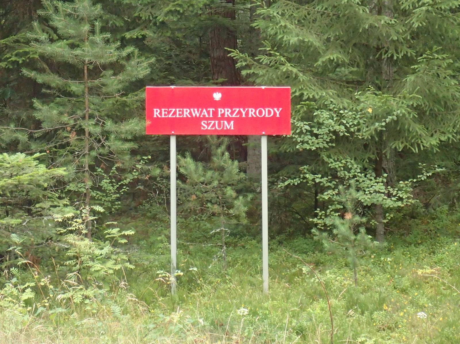
- Górecko Stare – the "Szum" Nature Reserve
- Górecko Kościelne - religious monuments (larch wooden church, a shrine on the water)
- Górecko Kościelne – an oak alley
- Monuments of rural construction - wooden old huts, shrines
- Monuments of inanimate nature - boulders, sandy forest slopes
- The rivers of the Roztocze region such as Tanew, Sopot, Szum
Not all fragments of the trail are suitable for bicycles with panniers/bike trailers. The trail runs fully or partially on roads where traffic intensity is medium, with at least one dangerous intersection (with no bicycle crossing or traffic lights);it is probably not recommended for families with children.
Starting point:
Józefów, market square
Finishing point:
Józefów, market square