
 Highest point
 Lowest point
 Sum of driveways
 Sum of downhill
 High slope sections
 Connected with GreenVelo
 Slope
Slope Marking
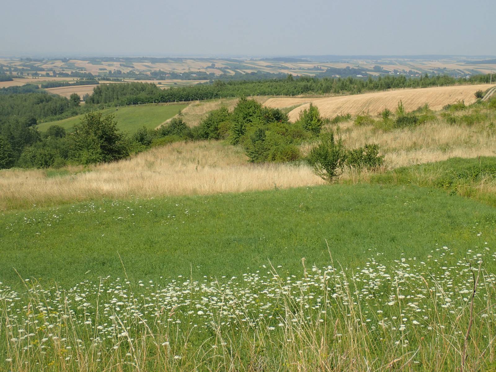
Spanning almost 80 kilometres, the red bike trail in the Jarosław Municipality makes for a long trip, with the total sum of uphill and downhill stretches exceeding 1000 metres. It requires the cyclist to be in excellent shape and offers a typical interval workout. Along the way, the main attraction of the trail are the scenic views of the Dynów Plateau and the historic wooden architecture in Pruchnik. You can also see numerous shrines and roadside crosses, as well as old wooden cottages. The trail mostly takes paved roads with general traffic, so it is necessary to watch out for cars. As it is poorly marked, you have to rely on either a map of the trail or a GPS track for navigation. The trail is only suitable for experienced cyclists. To cover its distance, you will need at least 8 hours of intensive cycling.
The general route of the trail is as follows: Jarosław (0.0 km) - Zarzecze (14.0 km) - Pruchnik (26.0 km) - Kramarzówka (45.4 km) - Helusz (47.6 km) - Wola Węgierska (50.3 km) - road to Tuligłowy (61.3 km) - Rokietnica (63.9 km) - Jarosław (76.1 km).
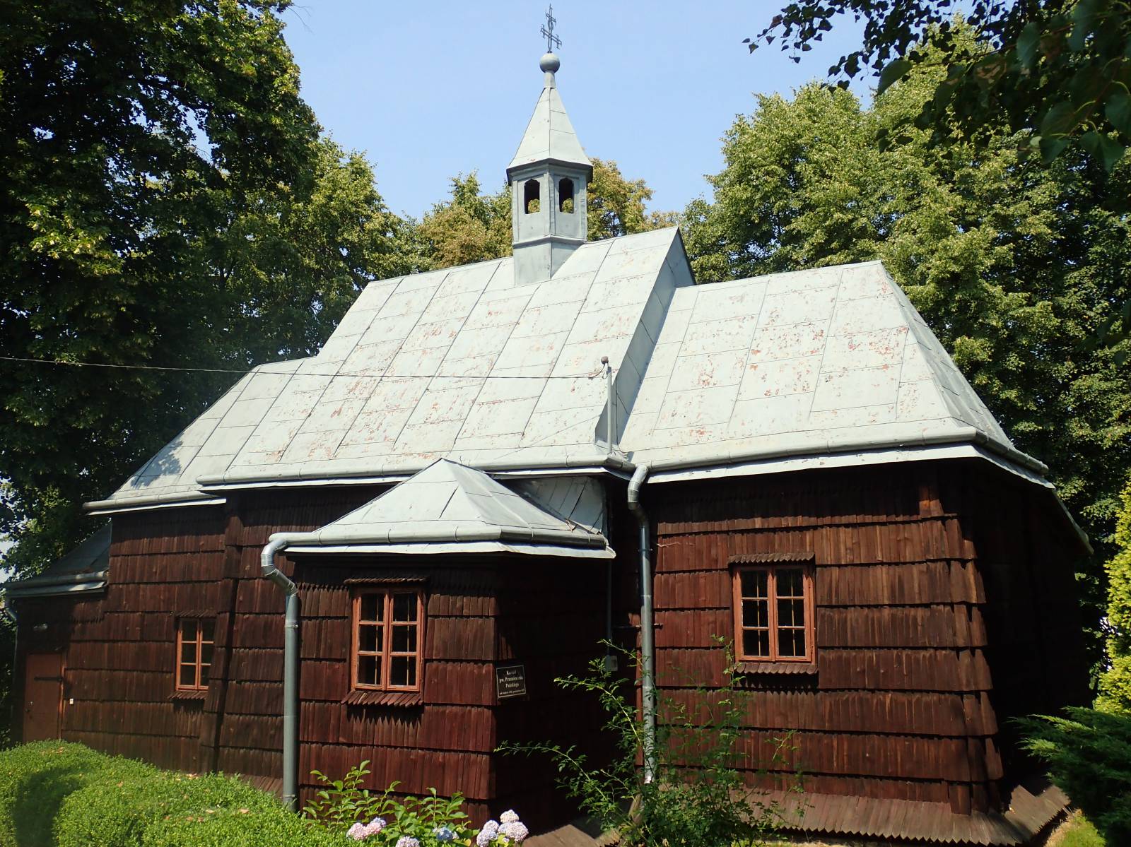
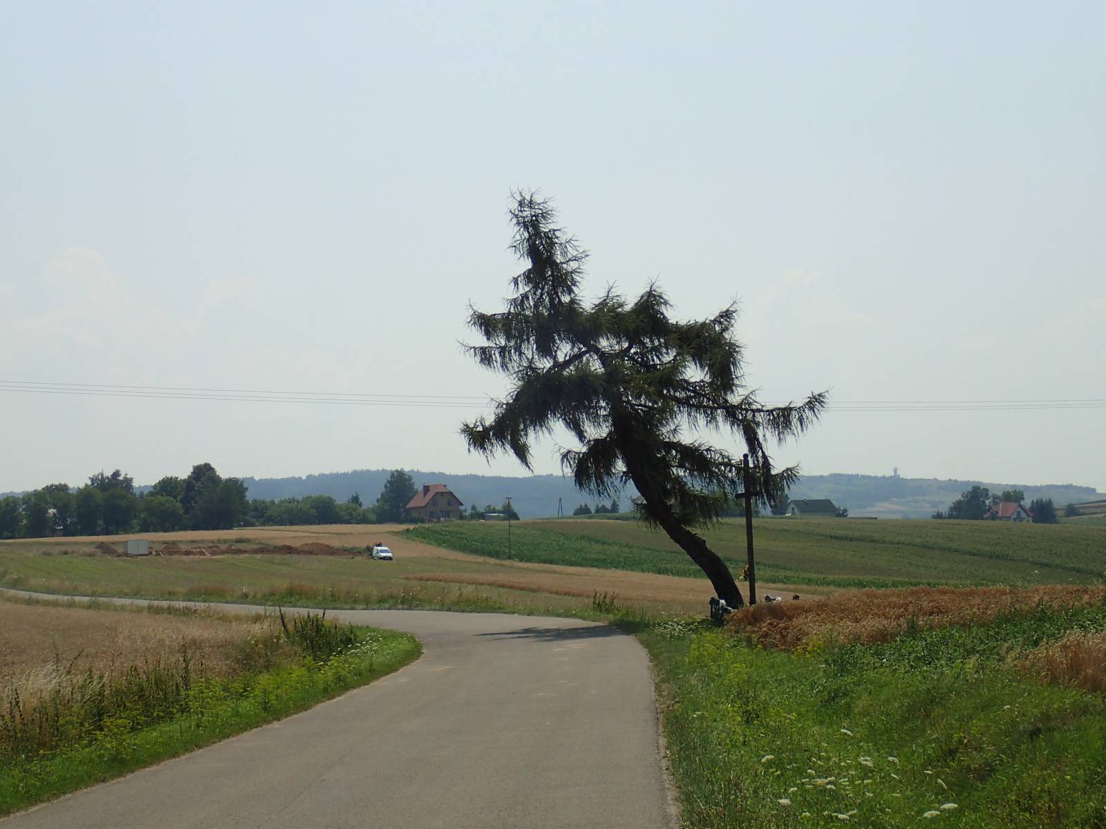
The trail starts near the old town in Jarosław, next to the Benedictine sisters’ convent. From there, it heads to the west, passing next to the city park and the Dominican monastery. After that, for over a dozen kilometres it goes through farmland, in the direction of Pruchnik and the hills of the Dynów Plateau. Views become more and more beautiful as the trail approaches the hills. Pruchnik is the most interesting locality on the trail. It is known for its numerous wooden houses and its perfectly preserved old street layout. This marks the beginning of the most difficult, and at the same time the prettiest part of the entire trail, primarily because of the numerous climbs and descents. The route uses mostly paved roads on which you need to watch out for cars. In the vicinity of the village of Jodłówka, there is a short trail segment where the surface is inconvenient for riding (approximately 1 km). This part disqualifies road bikes from riding on this trail. The trail makes a loop meandering in between the valleys and mountains of the Dynów Plateau, almost making a return to Pruchnik. A portion of the trail coincides with the Green Velo trail, as it approaches the San Valley. The hilly part is about 30 km long and is the prettiest of the whole route. The remainder of the trail, from the area of the village of Tuligłowy to Jarosław, is again a hilly, agricultural terrain, which the trail crosses on its way back to Jarosław, where it ends on the southern outskirts of the city. An interesting place to see in this part of the trail is the sanctuary in Tuligłowy. However, due to the length of the route and its difficulty, it is hard to include this religious site within a one-day trip, as it is situated around 2 km off the trail.
Points of interest along the trail:
- Jarosław - religious monuments, urban layout
- Pruchnik - wooden buildings in the town
- Landscapes of the Dynów Plateau
- Hawłowice - park, ponds
The entire trail is suitable for bicycles with panniers/bike trailers. The trail uses (in its entirety or in part) roads with average traffic volume. There is at least 1 dangerous intersection (with no bicycle crossing or traffic lights); probably not recommended for families with children. Trail offering outstanding vistas.
Starting point:
Jarosław, Panieńska street near the Benedictine sisters’ convent
Finishing point:
Jarosław (due to the lack of marking, the end of the trail was not found)