
 Highest point
 Lowest point
 Sum of driveways
 Sum of downhill
 High slope sections
 Connected with GreenVelo
 Slope
Slope Marking
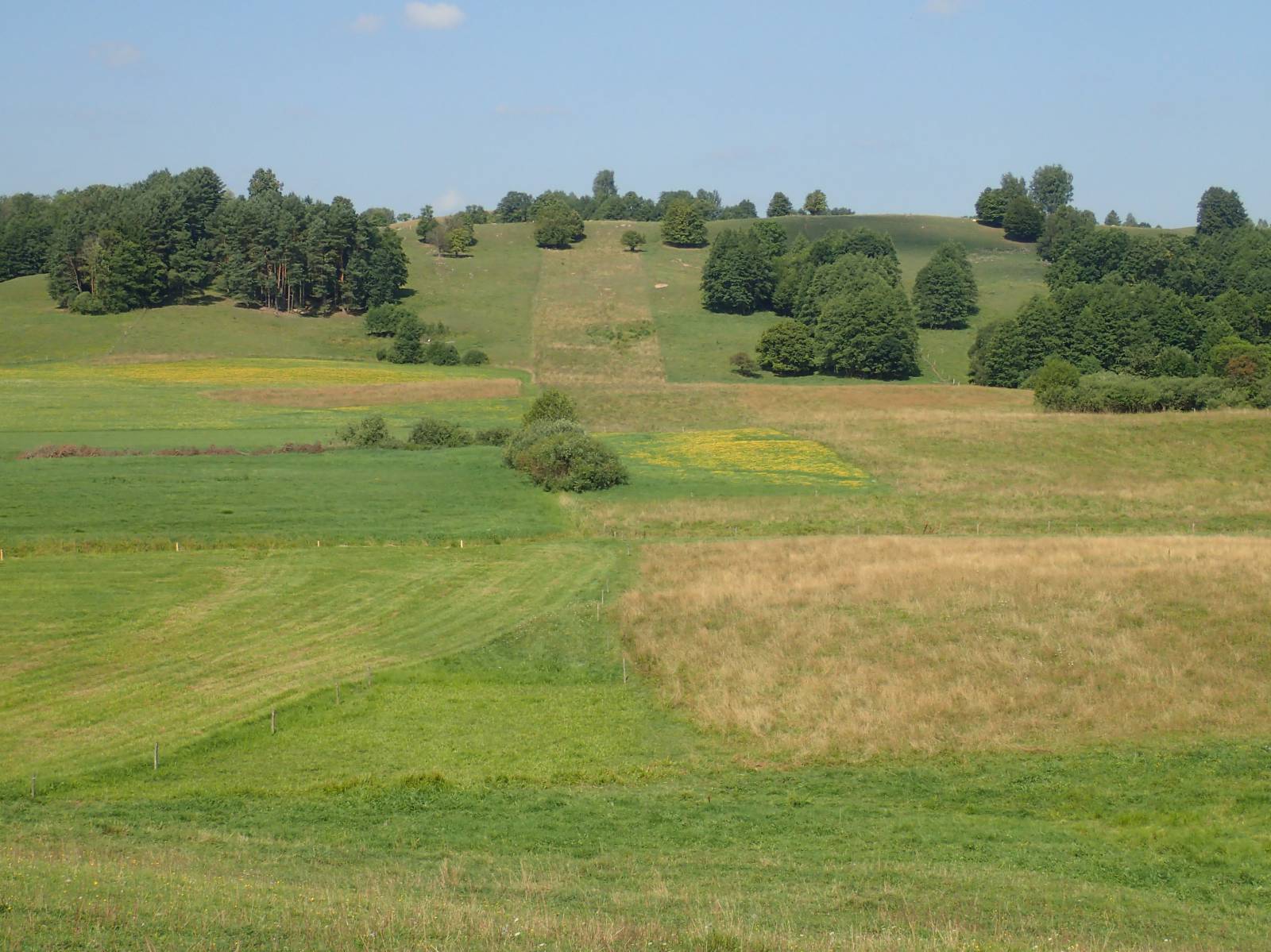
The trail around Lake Hańcza is a proposal for a not too long (22 km), but very difficult route, recommended to cyclists who are in good shape and are equipped with MTB bikes. The trail is very well-signposted and runs around Lake Hańcza, halfway along the Green Velo trail. On the way, there are beautiful views, numerous ascents and descents, as well as old wooden huts and the Old Believers' molenna in the village of Wodziłki, hidden among the hills of Suwałki Region.
The route consists of two parts, with different pavements. On the west side of the lake, from the Czarna Hańcza river in the locality of Turtul to the Stara Hańcza river, the trail has asphalt surfaces and runs along local roads with low road traffic. The other half of the route runs on dirt roads of fairly good quality. There are, however, sections of sand, stony and protruding roots at this part.
Due to the terrain layout, it is better to start the trail with the western shore of the lake. Then, the first half of the route, where the trail runs on asphalt roads, will go uphill. The largest elevation difference on the trail - nearly 100 meters – is at the section between the localities of Łopuchowo and Dzierwiany (4 kilometres on dirt roads), however, we will cover this part by going down, which will make the whole trip easier.
The general course of the trail is as follows: Malesowizna-Turtul, a bridge the over the Czarna Hańcza river, headquarters of a landscape park, junction of trails (0.0 km) - Głazowisko Bachanowo (4.4 km) - Hańcza (6.9 km) - Stara Hańcza (10.8 km) ) - Dzierwiany (12.5 km) - Łopuchowo (16.7 km) - Wodziłki, a molenna of the Old Believers (19.5 km) - Malesowizna-Turtul (22.3 km).
The route has a submontane nature. At the section of 22 kilometres there is a nearly 600 metre change in elevation, 300 meters of ascents and descents. This means that the inclination of the route is on average 1.32%, reaching up to 10% and more at some sections. For this reason, it is quite demanding when it comes to fitness. Of course, bikes with electric support are perfect on the route. Due to the elevation and the dirt surfaces, it is the best to go on a mountain bike.
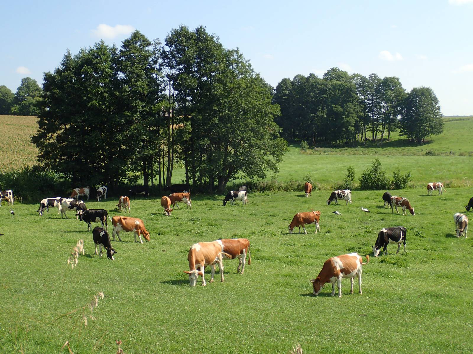
The trail starts and ends at the bridge over the Czarna Hańcza river, near the old water-mill in the village of Turtul and the headquarters of the Suwałki Landscape Park. The trail runs together with the Green Velo trail next to the Bachanowo Boulder Site reserve, which is approximately 200 meters away from the route. There is a rest area, it is also worthwhile to go for a stroll and see the unique glacial pavement site in Poland. Further the trail runs on an asphalt road through the villages of Hańcza and Mierkinie to the village of Stara Hańcza, where once a manor house was located. On the route, numerous agrotourism lodgings, and in this area, you can see the deepest lake in Poland, which is called Lake Hańcza. It is difficult to imagine the slope of the banks and the depth of the lake, which reaches over 100 meters below the water level – twice as much as the relative height of the post-glacial hills surrounding the lake.
From the village of Dzierwian, the off-road part of the trail starts. The area here is very hilly and very scenic. The trail runs through forests and hills of the landscape park, and sometimes it is quite tough. In the vicinity of the village of Łopuchowa there is another boulder site, and along the way you can see beautiful landscapes and small lakes. In the village of Wodziłki there is a beautiful, wooden molenna – a temple of the Old Believers. This is a very little known and not numerous faction of the Orthodox Church, whose followers are also called Old Believers. From this place, close to the end of the loop, the trail runs again to the Czarna Hańcza river in the village of Turtul.
Points of interest along the trail:
- Lake Hańcza - the deepest lake in Poland
- The Suwałki Landscape Park
- Wodziłki – a molenna of the Old Believers
- The Łopuchowo boulder site
- Stara Hańcza - ruins of a manor house
- The Bachanowo boulder site
- The Czarna Hańcza – an outflow from Lake Hańcza
The entire trail is not suitable for bicycles with panniers/bike trailers. The trail uses solely roads with no motor vehicle traffic allowed, or local roads with a low and very low vehicle traffic; no dangerous intersections. A trail for lovers of mountain biking and off-road cycling. Trail offering outstanding vistas.
Starting point:
Malesowizna-Turtul, Headquarters of the Suwałki Landscape Park
Finishing point:
Malesowizna-Turtul, Management of the Suwałki Landscape Park