
 Highest point
 Lowest point
 Sum of driveways
 Sum of downhill
 Slope
Slope Marking
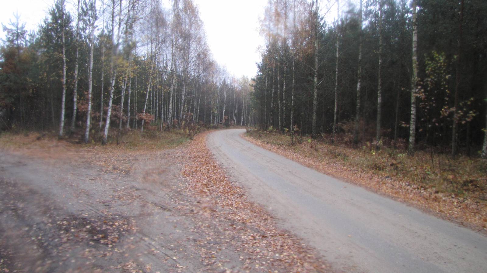
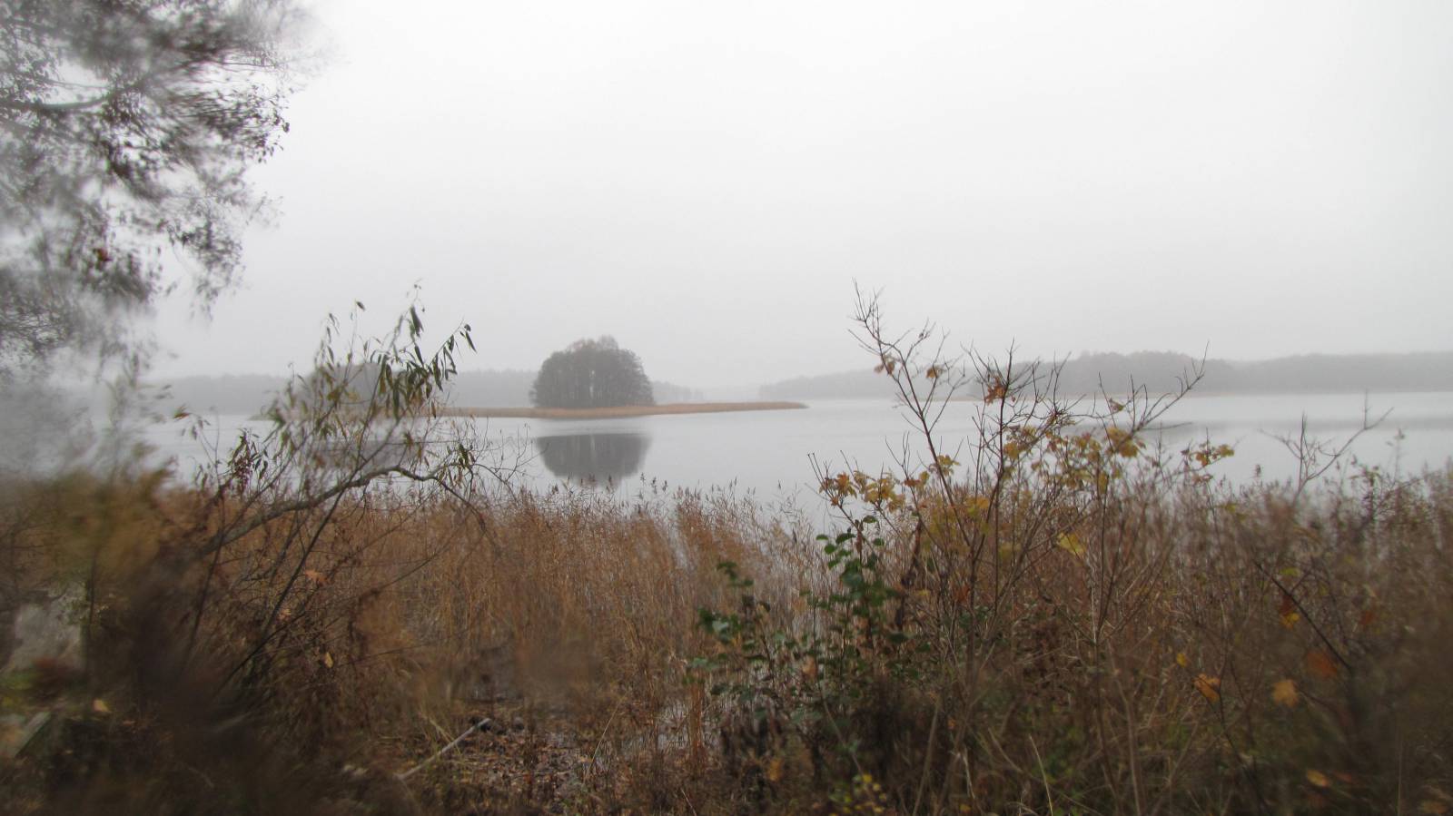
The “Blue Ribbon of Lakes” is a nearly 80-kilometre long bike trail in the central part of the region of the Great Masurian Lakes, going around lakes Dargin, Dobskie and Kisajno. The trail is well marked and takes mostly quite good dirt roads. It passes through a lot of old, Masurian villages and hamlets, past old cemeteries, historic palaces and churches. Breathtaking views of the vast Masurian lakes are a great advantage of the trail.
The general route of the trail is as follows: Giżycko railway station (0.0 km) - Piękna Góra (4.4 km) - Doba (17.9 km) - Radzieje (26.6 km) - Sztynort (34.3 km) - Harsz (42.3 km) - Dziaduszyn (46.6 km) - Pozezdrze (52.3 km) - Kruklanki (62.1 km) - Giżycko (79.5 km).
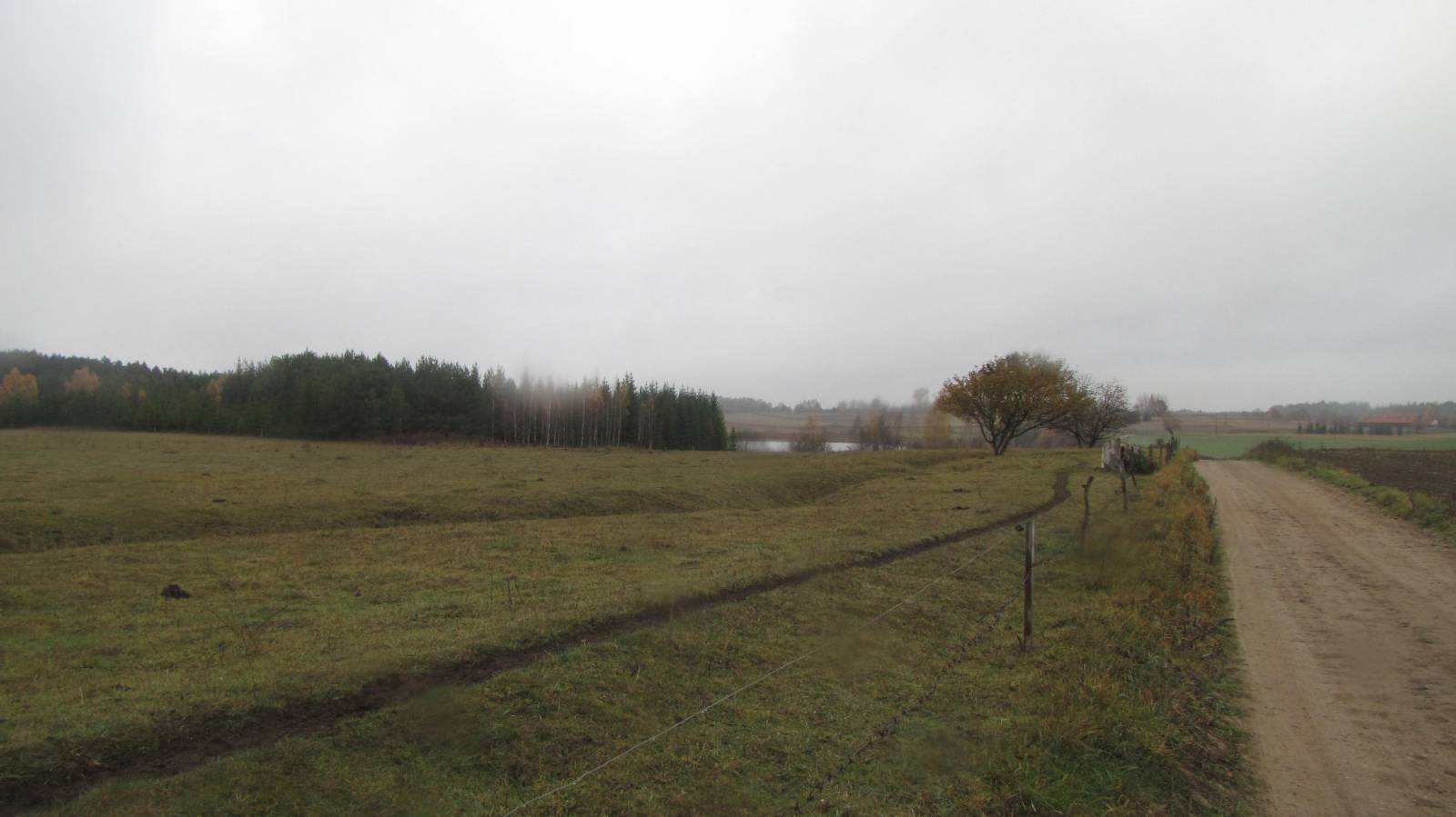
The route starts and ends in Giżycko, a city in the centre of Masuria, by the train station. From there, the trail heads west, through the area of the Boyen Fortress, unfortunately heavily dilapidated. It is the largest fortress in East Prussia, built for defending this area against a Russian invasion in the past. Near Piękna Góra – one of the largest marinas in the region – the trail follows along the southern shore of Lake Niegocin towards Lake Dobskie. Past the village of Radzieje, the trail turns to the east again. Passing through Sztynort, which is home to one of the larger Masurian palaces, now sadly ruined, it goes towards the village of Harsz. Here, too, you will find a great yacht marina. In Harsz, you can see numerous well-preserved old Masurian farmhouses. In the neighbouring locality of Dziaduszyn, there are ruins of a palace. From this point, the trail heads towards Pozezdrze, partly via train tracks of an old railway line. One of the most interesting sights of the route is right here; concrete bunkers of the SS field HQ during World War II. It was from here that Heinrich Himmler ran the military operations and executions carried out by the SS. The trail then continues through the village of Przerwanki to Kruklanki, following the shore of another large Masurian lake, Gołdapiwo. Kruklanki also has several preserved old homes and historical buildings. Leaving here, the trail makes an arc along Lake Kruklin, mostly passing through forests. Afterwards, it heads back to Giżycko. The trail is not too demanding and as such it is also available for less advanced cyclists. Due to the length and the number of attractions along the way, you might want to divide the trip into two days. There should be no problem finding accommodation in this tourist-oriented area.
Points of interest along the trail:
- Giżycko: castle, Boyen Fortress
- Sztynort - palace ruins
- Dziaduszyn - palace ruins
- Pozezdrze - SS HQ
- Views of Masurian lakes
- Old cottages, cemeteries, churches in Masurian villages
The trail uses solely roads with no motor vehicle traffic allowed or local roads with a low and very low vehicle traffic; no dangerous intersections. Not all fragments of the trail are suitable for bicycles with panniers/bike trailers. The trail uses solely roads with no motor vehicle traffic allowed or local roads with a low and very low vehicle traffic; no dangerous intersections. Trail of outstanding natural beauty. Trail of outstanding cultural heritage value. Trail offering outstanding vistas.
Starting point:
Giżycko, the square in front of the railway station and bus station
Finishing point:
Giżycko, the square in front of the railway station and bus station