
 Highest point
 Lowest point
 Sum of driveways
 Sum of downhill
 High slope sections
 Slope
Slope Marking
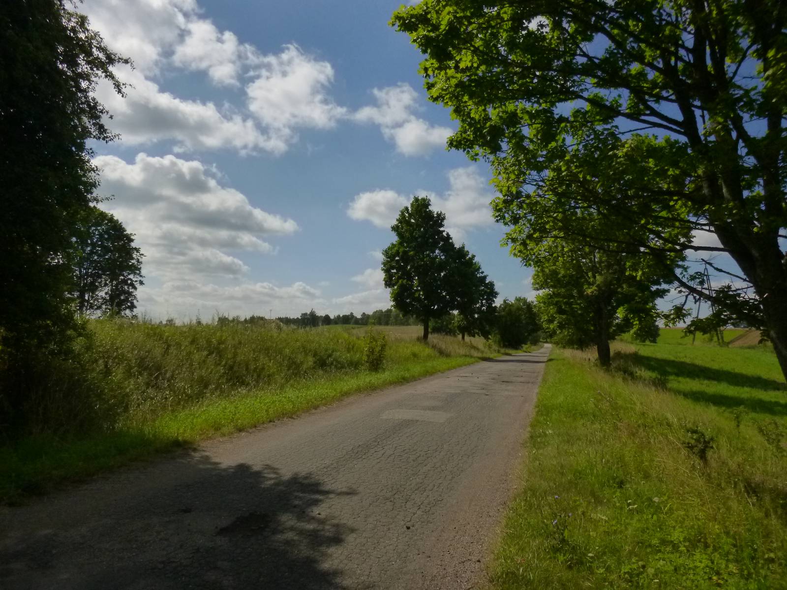
Marked in red, this bike trail traverses the woods of the Srokowo Forest District. It is just over 30 kilometres long and has a leisure character. It begins in the forests north of Srokowo and heads almost to the border. The advantages of the trail include scenic views, numerous lakes and old villages, seemingly forgotten by the passing of time, where you will find what remains of old manor houses and pre-war brick farm buildings with roofs covered with red tiles. However, the biggest advantages of the trail are its beautiful nature and the unspoilt character of these regions.
The general route of the trail is as follows: forest parking lot in the vicinity of Osikowo (0.0 km) - Masurian Canal (2.2 km) - lookout point on the Oświn Lake (5.2 km) - Wyskok (6.5 km) - Bajory Wielkie (9.2 km) - Brzeźnica, Masurian Canal (13.4 km) - Kałki (14.9 km) - Skandławki (21.4 km) - Jegławki (24.5 km) - Wilczyny (28.1 km ) - forest parking lot in the vicinity of Osikowo (32.1 km).
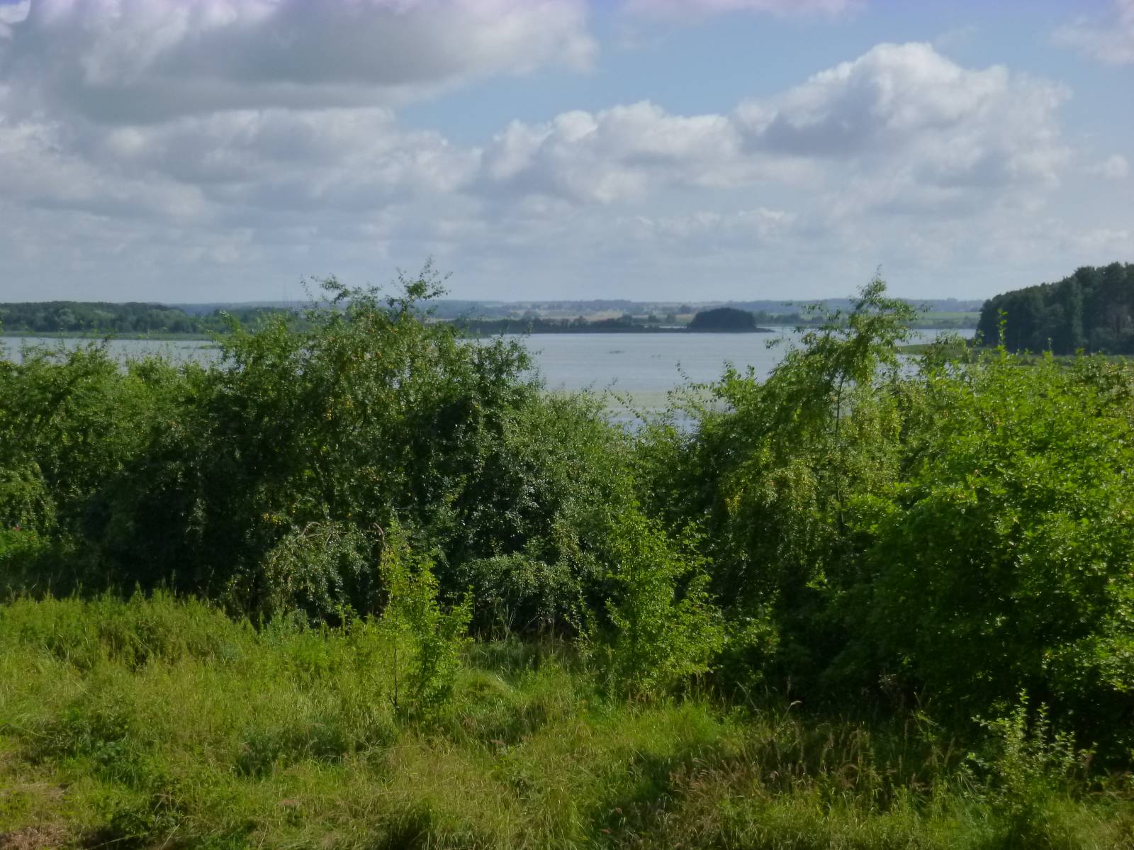
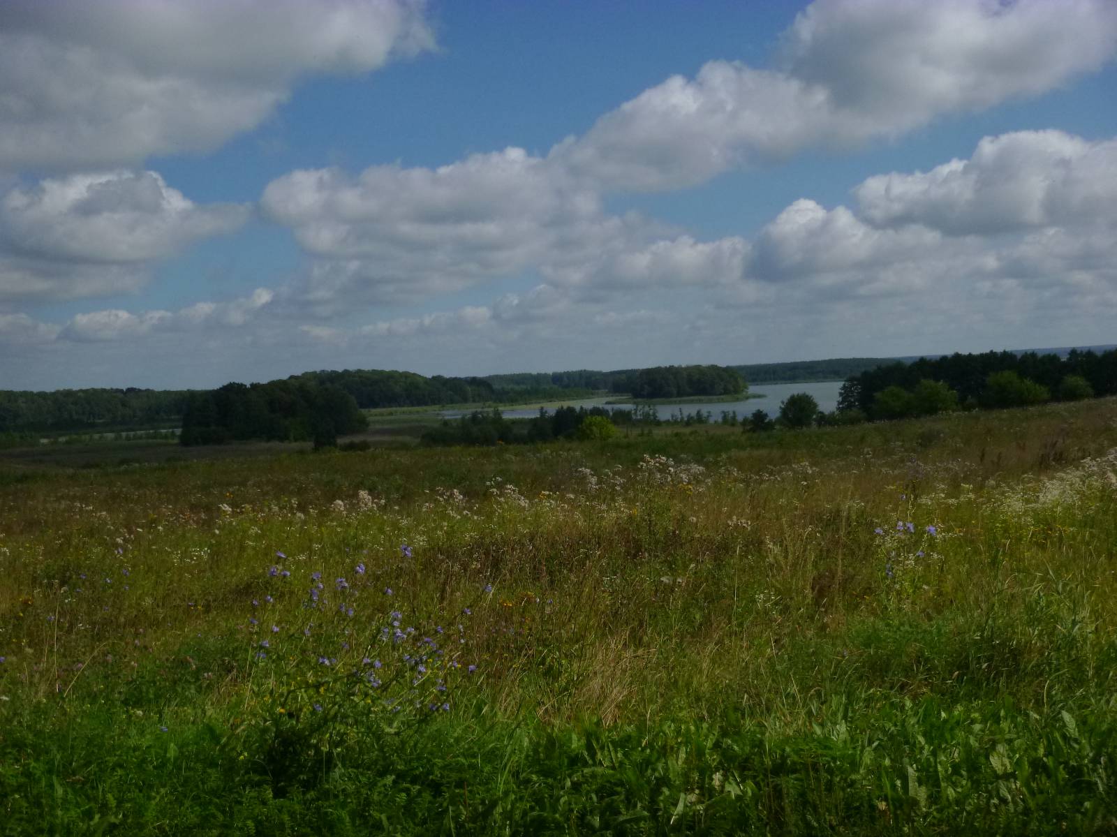
The trail begins and ends at the forest parking lot to the east of Osikowo, on the road to Srokowo. This locality is about 6 kilometres away from the parking lot. In the first part, the trail goes through forests, using dirt roads. Since there are almost no markings at all, you will need a map or a GPS trace. Otherwise, you run a high risk of getting lost. The first stop is a bridge over the Masurian Canal. This unfinished hydro-technological project was designed to connect Great Lakes of Masuria with the Baltic Sea via the Pregoła River. Near Leśniewo, at the beginning of the canal, you can see huge concrete sluices. Unfortunately, the northern part of the canal is heavily destroyed and overgrown. The trail crosses the canal via a wooden bridge and heads north through very hilly terrain. A wide, beautiful panoramic view of the large Oświn Lake opens up. This shallow lake with an extremely diversified coastline is a refuge for many species of birds and is protected as a nature reserve. The trail continues north along the edge of the hills, passing through the small villages of Wyskok, Bajory Wielkie and Brzeźnica, to meet with the Masurian Canal again. In this area, you are on old, rural roads paved with concrete hexagonal slabs, known in Polish as trylinka. The area is very secluded and seems almost forgotten by the world. Due to the proximity of the border you should have your ID on you and expect to be controlled by border guards. The villages on the route can give you the impression that time has stopped, as the unfortunately dilapidated homes, farm buildings and remnants of manor houses and palaces surrounded by parks have not changed for the last dozens of years. The same is true of the whole area as well. After nearing the border, the trail turns south, crossing the Masurian Canal again. On the way here and there, you can encounter the ruins of old industrial buildings, old shrines and roadside crosses. The trail goes through three more villages, Skandławki, Jegławki and Wilczyny, and crosses areas that are still scenic but more open, until it comes back to the forest parking lot from which it departed.
Points of interest along the trail:
- Woods of the Srokowo Forest District
- Masurian Canal
- Lake Oświn - reserve
- Ruins of manor houses, palaces and farm buildings from the 19th /20th centuries
- Forest shrines and places of rest
The entire trail is suitable for bicycles with panniers/bike trailers. The trail uses solely roads with no motor vehicle traffic allowed or local roads with a low and very low vehicle traffic; no dangerous intersections. The trail is especially recommended for families with children and bike trailers for kids. Recreational character. Trail of outstanding natural beauty. Trail of outstanding cultural heritage value. Trail offering outstanding vistas.
Starting point:
Forest parking lot in the vicinity of Osikowo, bike trail crossroads
Finishing point:
Forest parking lot in the vicinity of Osikowo, bike trail crossroads