
 Approximate driving time with sightseeing
 Highest point
 Lowest point
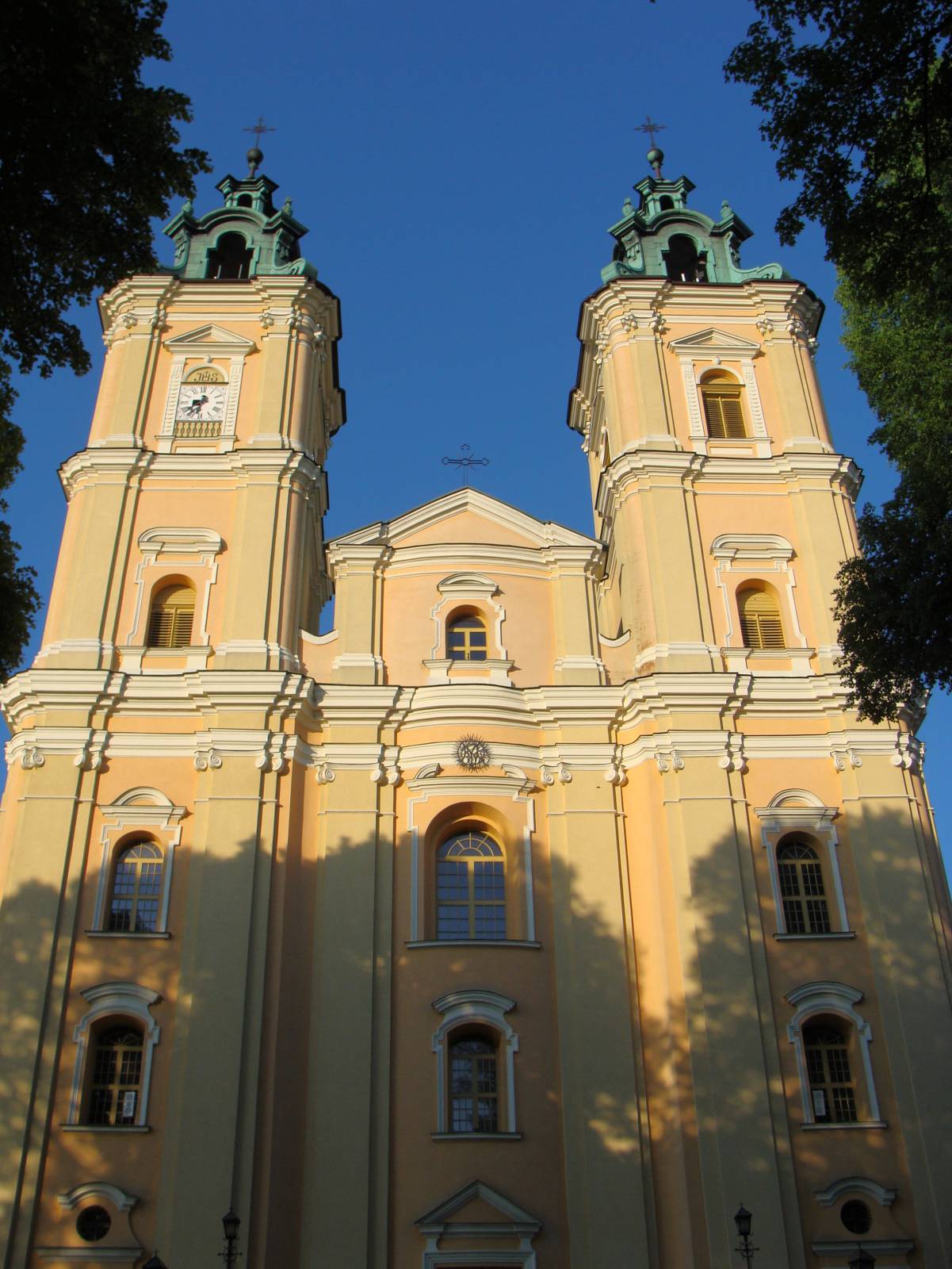
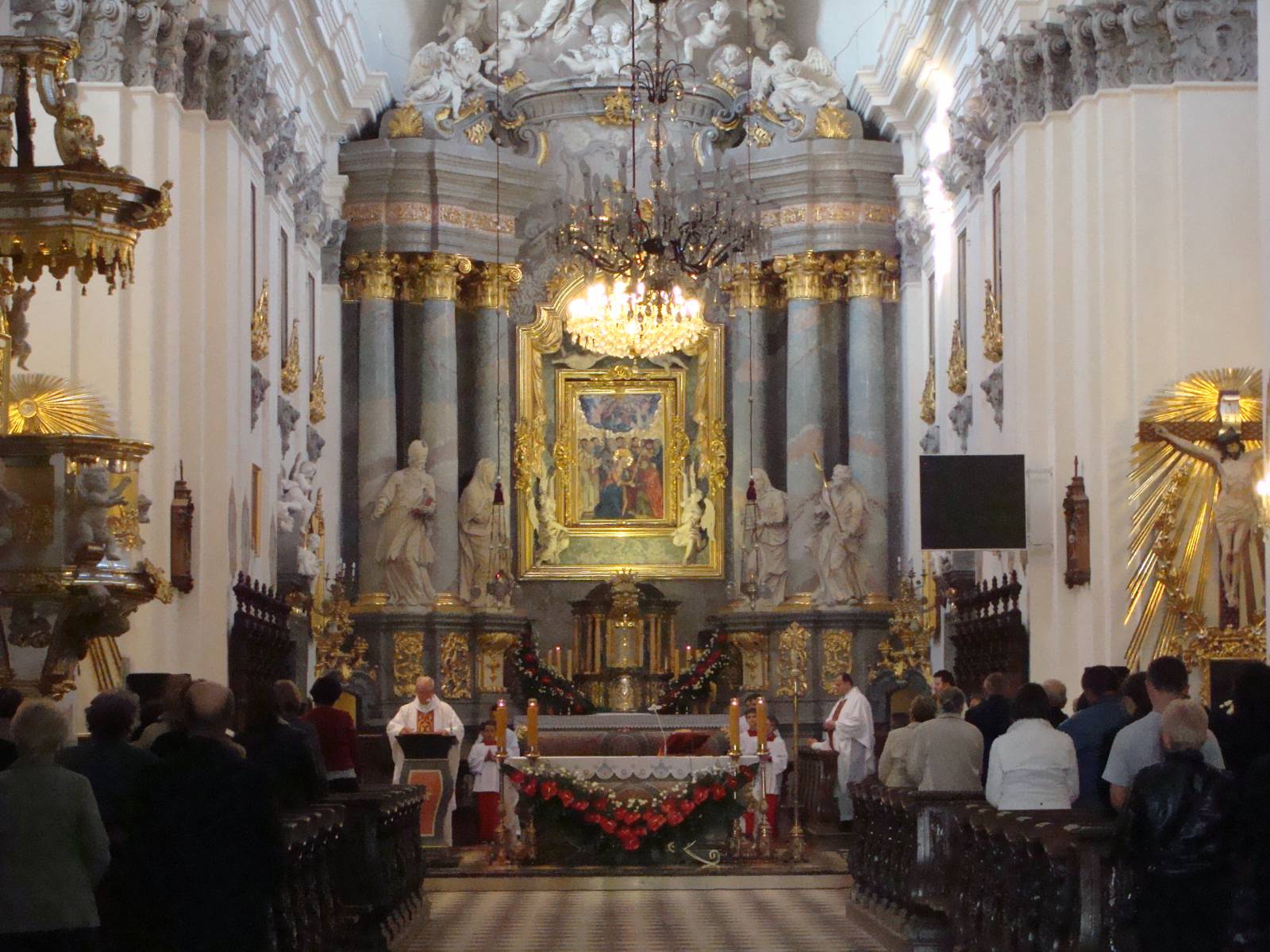
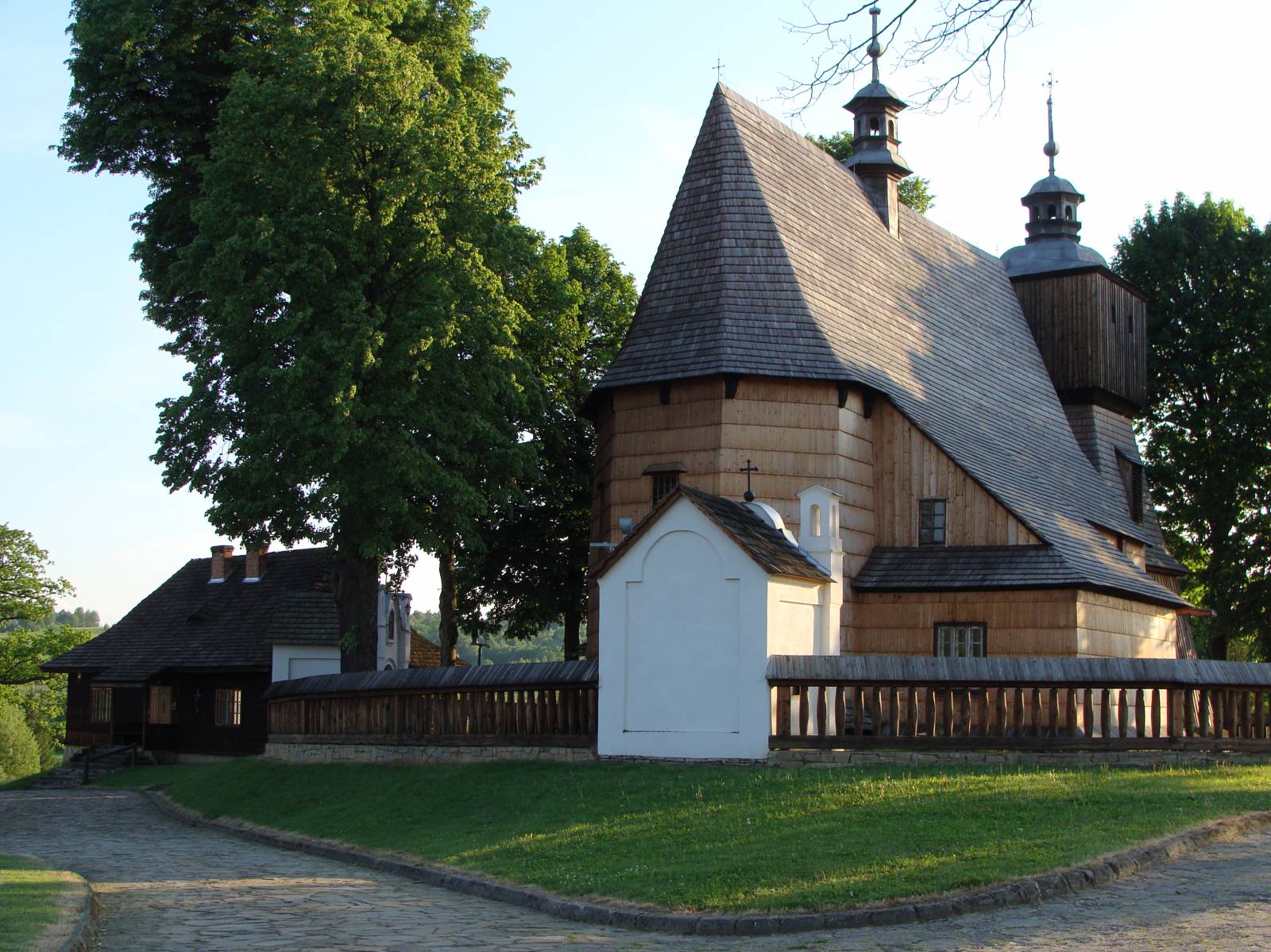
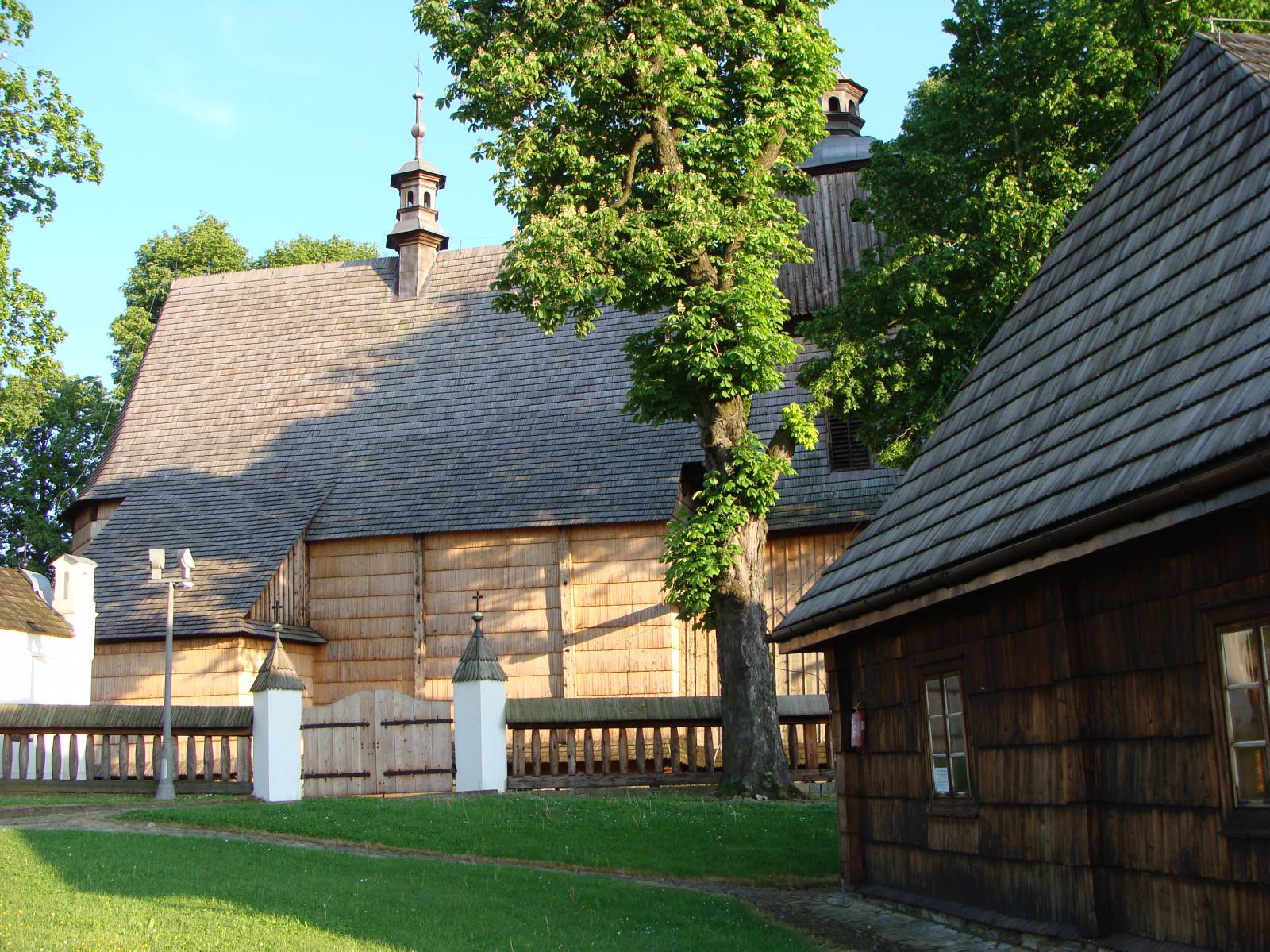
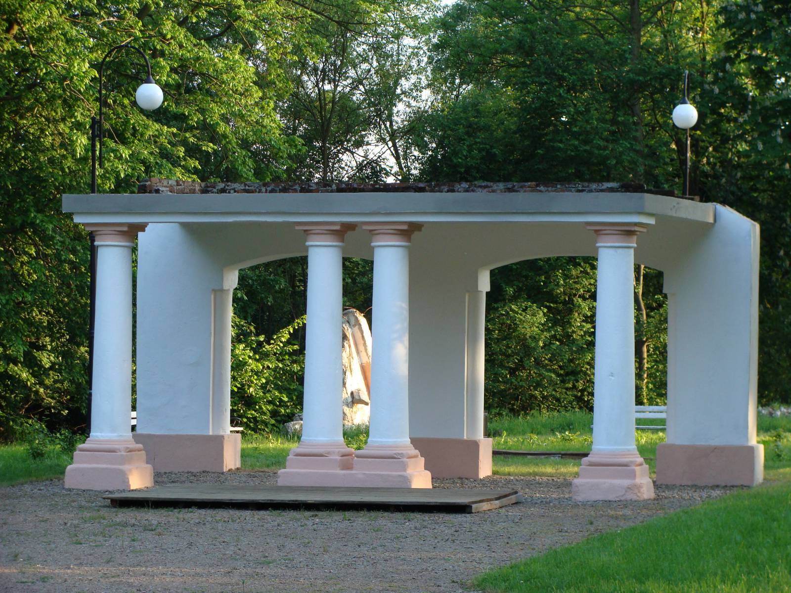
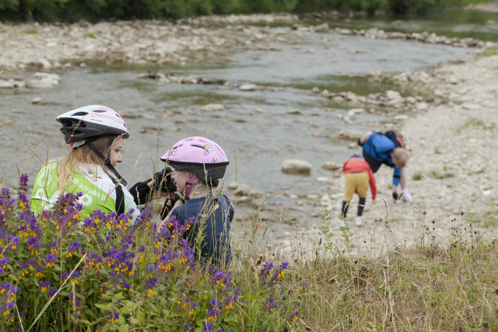
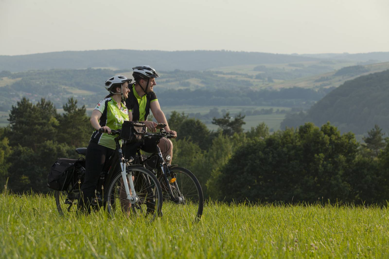
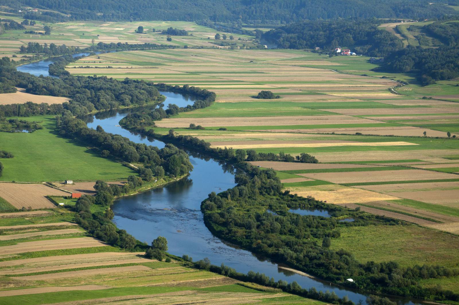
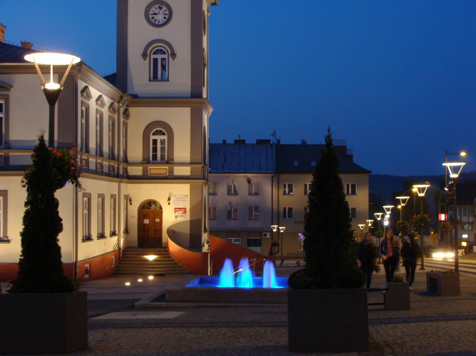
The trip starts in Brzozów – a charming town located on the Dynów Foothills. Magnificent historic sites, beautiful landscapes, the clean air and recreation areas attract an increasing number of tourists from Poland. Bikers can experience an unforgettable adventure of discovering the corners of the Dynów Foothills. The trip starts on the parking area of the Municipal Sport and Leisure Centre (MOSiR) in Brzozów – a charming town located on the Dynów Foothills. We recommend seeing its market square with a town hall, the collegiate church of the Transfiguration, and the unique building of the railway station, where railway tracks have never been added. Another place on the trail is Stara Wieś – a village neighbouring Brzozów. It is easy to notice the distant outline of the local basilica – the late Baroque Church of the Assumption of the Blessed Virgin Mary with imposing and richly decorated interiors. Next to it, there is Jesuit Fathers’ College. The trail runs beside monastery buildings; around 100 m farther, it turns left towards Orzechówka. Then it leads through the picturesque Stobnica valley to Blizne through the bridge and the nearby small crossroads. In Blizne, there is the wooden Church of All Saints inscribed on the UNESCO’s World Heritage List. Situated on a small elevation and surrounded by old trees, the temple was designed in Gothic style. Inside the temple, unique polychromes made in the 16th-18th century have survived. Another place on the trail is Jasienica Rosielna – a village located 4 km away from Blizne. The trail leading west intersects the national road no. 19, thus crossing the border of the Czarnorzeki-Strzyżów Landscape Park. The trail runs farther through Wola Jasienicka, Wola Komborska, and Orzechówka back to Brzozów.
Trail option (44 km):
The trail leads from Brzozów to Haczów, where you will find an invaluable piece of sacred art inscribed on the UNESCO’s World Heritage List; it is a wooden Gothic church of the Assumption of the Blessed Virgin Mary – the biggest structure of this kind in Europe and one of the oldest wooden temples in Poland.
Trail option (14 km):
The trail runs through one of the most beautiful viewing points in Podkarpacie, situated 7 km away from Wola Komborska. Close to it there is also the Prządki geological reserve consisting of a group of picturesque rock torso mountains built of Ciężkowice sandstone and ruins of the castle in Odrzykoń, where the plot of Aleksander Fredro’s drama Zemsta [Revenge] was based.
Course of the trail :
- Brzozów – 0 km
- Stara Wieś – 5 km
- Blizne – 5 km
- Jasienica Rosielna – 12 km
- Wola Jasienicka – 15 km
- Wola Komborska – 18 km
- Orzechówka – 24 km
- Brzozów – 5 km
Surface and marking of the trail :
Most of the trail runs on local asphalt roads provided with road signs that are typically used on public roads. Information boards are placed near the most important tourist attractions.
List of attractions on the trail :
- Basilica of the Assumption of the Blessed Virgin Mary in Stara Wieś
- Railway station in Brzozów
- Collegiate Church of the Transfiguration in Brzozów
- Church of All Saints in Blizne
- Market square in Brzozów
Tourist Information Point at the Regional Museum in Brzozów, Rynek 10, 36-200 Brzozów, phone 13 43 41 856, e-mail: wiadbrzoz@pro.onet.pl, www.cit.muzeum.brzozow.pl