
 Approximate driving time with sightseeing
 Highest point
 Lowest point
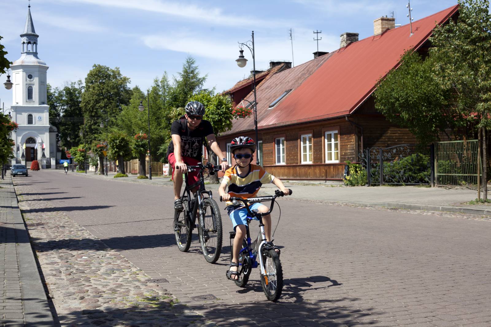
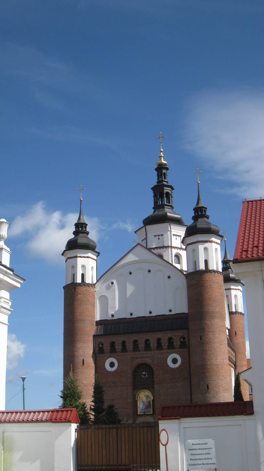
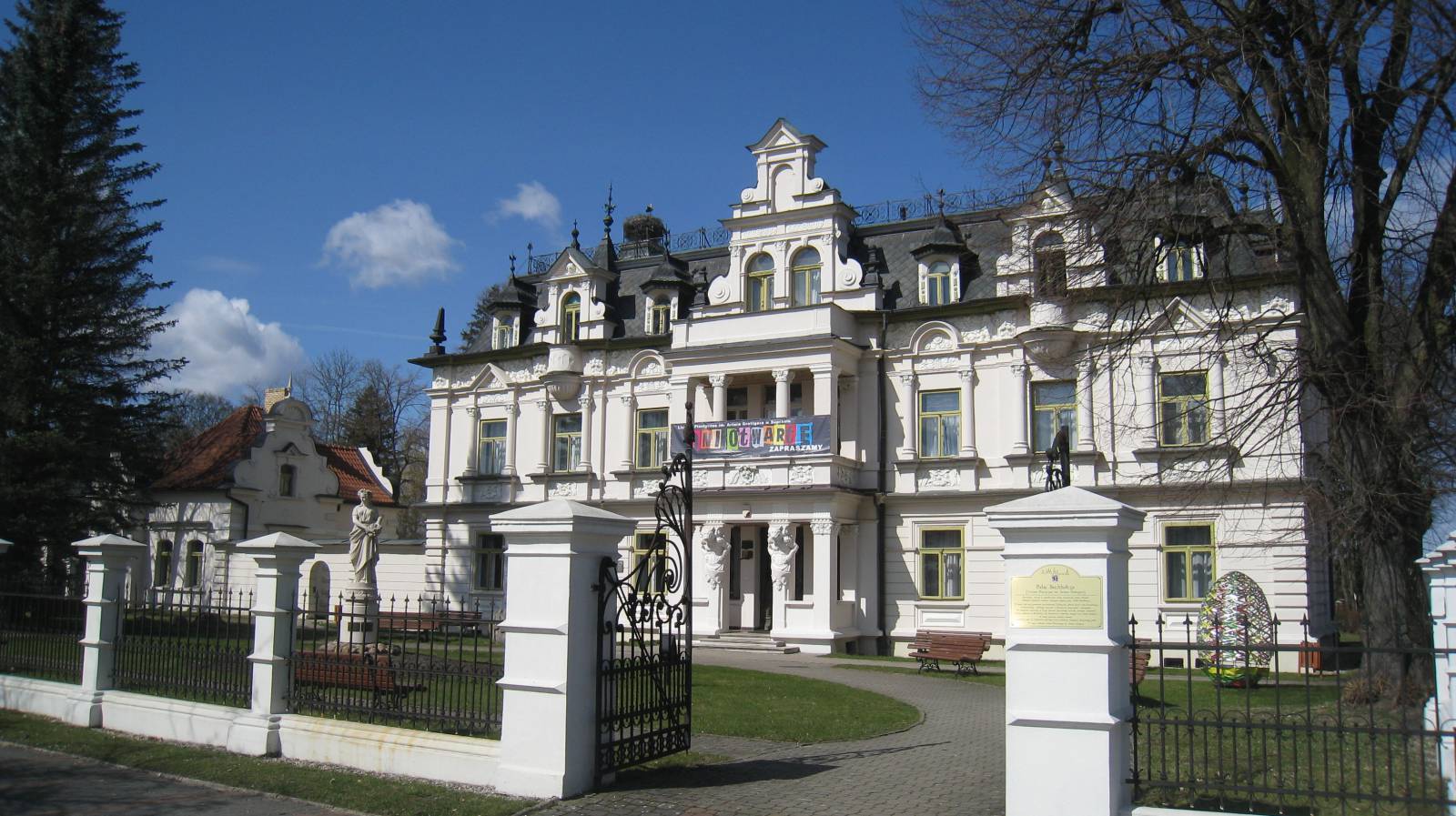
Active recreation combined with communing with the pristine nature of the Knyszyn Forest and the multiculturalism of the surrounding area – these are the main advantages of this excursion. The most important attractions along the route are the town of Supraśl with its Museum of Icons and the film-famous Królowy Most. Additionally, the forest air, with its medicinal properties, will make you pleasantly dizzy.
Białystok is the starting point and finish line of this bicycle excursion. The route turns toward Supraśl down ul. Raginisa and an asphalt bike path. After the village Nowodworce, you will pass along the edge of the Knyszyn Forest. In Ogrodniczki, the bike path breaks off in the town. On the way, on the right side, you will pass a car park and a rest area for cyclists and then the ponds in Krasno. This is where you enter Supraśl. Surrounded by slim, fragrant Supraśl pines, the route takes ul. Cieliczańska to Cieliczanka – a small summer resort town – and reaches the village of Kołodno. On the right, you can clearly see the range of the Świętojańskie Hills. Through Kołodno, you will reach Saint Anne Mountain. The blue trail will take you farther, to Królowy Most, and from there, via the Napoleon’s Route, the trail follows the blue markings to Białystok.
Route:
- Białystok (0 km)
- Ogrodniczki (10 km)
- Supraśl (15.5 km)
- Cieliczanka (19.7 km)
- Kołodno (26.5 km)
- Góra Św. Anny (28 km)
- Królowy Most (31.5 km)
- Napoleon’s Route (32–46 km)
- Białystok (52.5 km)
Route options:
The proposed route for fans of trails with a lower rolling resistance: through Kołodno, without visiting Saint Anne Mountain, in the direction of the junction with National Road No. 65. There, past a charming small Orthodox church in Królowy Most, head west to the right and towards Białystok on a 10 km section of highway with a wider dirt shoulder. This variant is strongly recommended in rainy periods, since the Napoleon’s Route has a variable surface in such weather conditions.
Surface:
- Mainly clay and dirt
- Good (variable in wet periods)
- Białystok – Supraśł: bitumen-ceramic path surface of good quality
- Central section Ogronicze: nearly 1 kilometre in a lane on a road shared with cars
- Past Cieliczanka on kilometre 20 of the route and in the forest – Kołodno: dirt road
- 600 metres after the entry sign of Kołodno: to the left, an exhausting unmade road section (to the January Uprising Trail)
- Return to the main tail, later to the left, a forest road leading to Góra Św. Anny
- Return route requiring downhill skills through the January Uprising Trail: narrow path to the edges of Królowy Most
Marked route:
- Białystok – Ogrodniczki – Cieliczanka – Kołodno: Green Velo, orange markings
- Part of the trail: Knyszyn Forest Bike Trail, marked according to PTTK standards as blue
- Ogrodniczki – Ciasne: Kresowe Wędrówki trail, green markings