
 Highest point
 Sum of driveways
 Sum of downhill
 Connected with GreenVelo
 Slope
Slope Marking
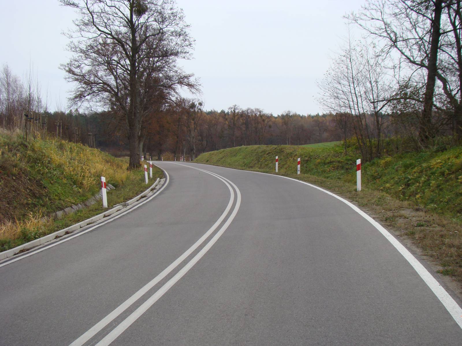
Marked with blue, the “Holy Stone” Bike Trail is a short trail that goes around the charming town of Tolkmicko. In one part, it follows the shore of the Vistula Lagoon, to a partly submerged erratic boulder. In the other part, it goes through the hills of the Elbląg Upland. It is a very picturesque trail, perfect for recreational cycling. The route is well marked, for the most part using hard-surface roads.
The general route of the trail is as follows: Tolkmicko (0.0 km) - Nowinka (3.2 km) - Chojnowo (5.9 km) – “Nowy Wiek” forester’s lodge, path to the Vistula Lagoon (10.3 km) - Tolkmicko (14.7 km).
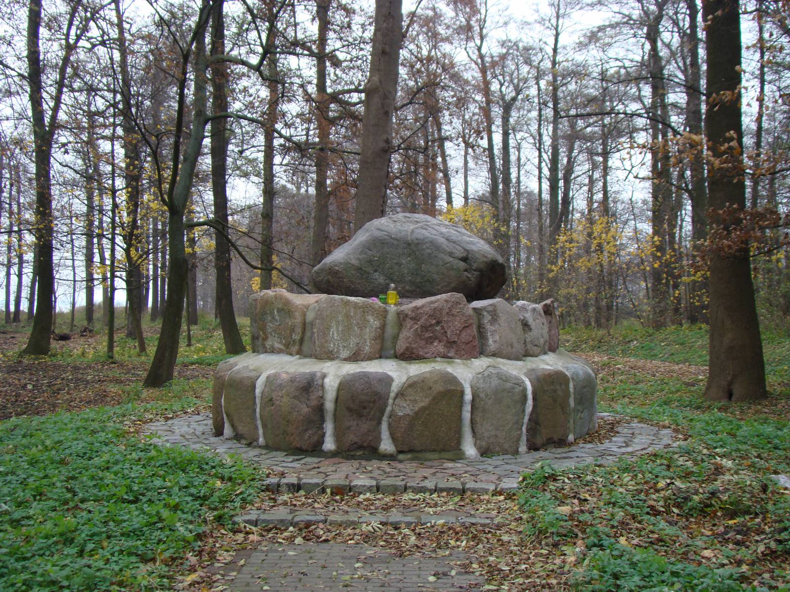
The beginning and end of the route is located in the harbour town of Tolkmicko. It has a charming Medieval old town and numerous Gothic monuments. Tolkmicko is known for its port from which cruise ships depart to Krynica Morska, and for its marina, built within the network of sailing ports known as Pętla Żuławska (Żuławy Loop). To the south of the town, you can see an old Prussian fortified settlement, called Wały Tolkmita [Tolkmit’s Ramparts]. The first part of the route follows the Vistula Lagoon. A railway line built in 1899 is in the vicinity of the trail. It connected Elbląg to Braniewo, passing through tourist localities on the Vistula Lagoon, such as Suchacz and Frombork. The German emperor, Wilhelm II, who owned the town of Kadyny, used this railway line. In the water of the lagoon, almost immediately by the train tracks, there is the Sacred Stone - a unique natural monument. This boulder, whose circumference is 13.8 metres, is thought to have been a pagan altar for the Prussians. The stone is situated around 1 km away from the “Nowy Wiek” forester’s lodge and can be reached via a forest path. The erratic boulder is the trail’s most spectacular landmark, hence the name. The trail then continues through fields and forests of the Elbląg Upland. The dominant species is the common beech. The forests, resembling mountain ones, are unique in the European Lowland. The area is protected as a nature park. In the forests, you can come across many trees protected as monuments of nature, as well as archaeological sites, especially near the village of Chojnowo. They are described on the information boards along the trail. The trail comes to an end again in Tolkmicko, in the town’s market square.
Points of interest along the trail:
- Tolkmicko - urban layout, market square, Gothic church, port, old railway station
- Holy Stone - erratic boulder in the shallow water of the Vistula Lagoon
- Chojnowo - archaeological monuments
- Elbląg Upland Landscape Park - views of the Vistula Lagoon, forests. The entire trail is suitable for bicycles with panniers/bike trailers
The trail uses solely roads with no motor vehicle traffic allowed or local roads with a low and very low vehicle traffic; no dangerous intersections. Recreational character. Trail offering outstanding vistas.
Starting point:
Tolkmicko, market square, tourist information point
Finishing point:
Tolkmicko, market square, tourist information point