
 Highest point
 Lowest point
 Sum of driveways
 Sum of downhill
 Slope
Slope Marking
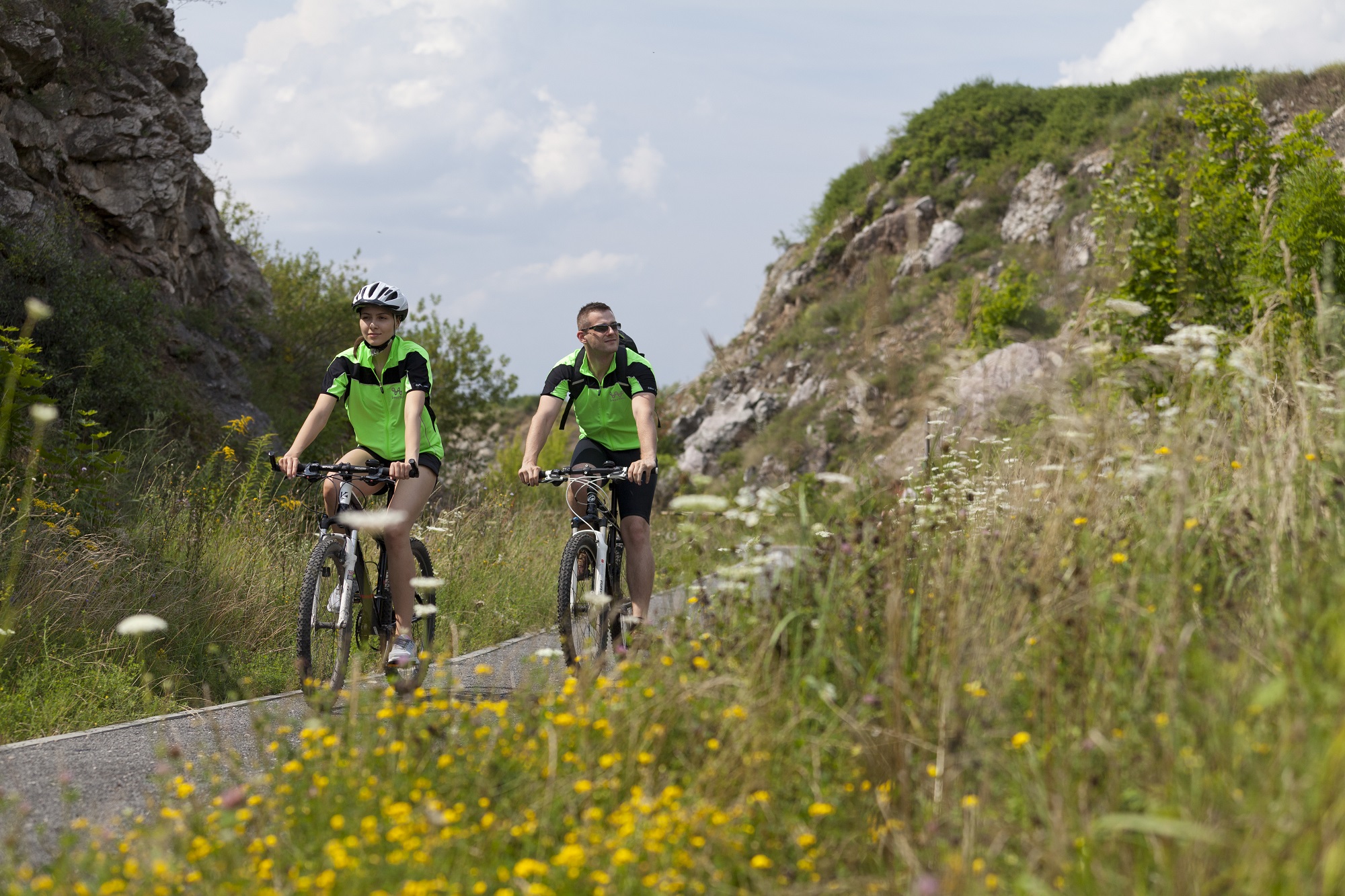
The Kielce-Sitkówka Bike Trail is one of the bike trails marked in the city of Kielce, running from the city centre to the suburban areas. It is signposted in red, is 11 km long and runs from the eastern part of the city to the south, to the Sitkówka railway station.
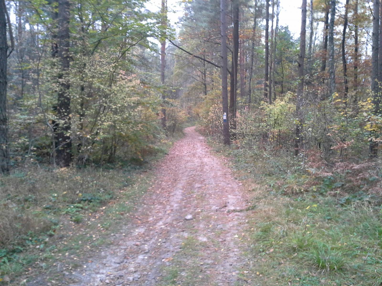
The trail runs through the suburbs of Kielce and the forests of Mount Telegraf, where it becomes an off-road trail. Near the route there is the Kielce Geopark and the Wietrznia Reserve, and the route offers nice views of the southern part of the Świętokrzyskie Mountains.
The general route of the trail is as follows: Kielce, the intersection of Wojska Polskiego street and Popiełuszki Avenue (0.0 km) - Wietrznia Nature Reserve, Geopark Kielce (0.7 km) - forest road up the slope of Telegraf hill (2.0 km) - the edge of the forest, Weterynaryjna street (4.2 km) - Aleja Popiełuszki - national route no. 73 (5.4 km) - St Isidore's church in Posłowice (8.1 km) - Sitkówka PKP train station (10.9 km).
The trail starts at the intersection of one of the city's major thoroughfares, Popiełuszki Avenue, and Wojska Polskiego street heading for Sukowo and Daleszyce. The route runs along a cobbled street through former Kielce hamlets. Near the Wietrznia reserve and Geopark Kielce, the trail turns south into Karskiego street.
Geopark Kielce is an educational and museum facility. It exhibits the geological history of the city of Kielce and the Świętokrzyskie Mountains. There are various interesting exhibitions and the modern architecture make it one of the most interesting interactive museums in Poland. The Wietrznia Nature Reserve is nearby, being a former limestone quarry. There are decorated walking paths and you can get to know the geological cross-sections of the local rocks. It is also a great place for walks and a viewpoint to the Świętokrzyskie Mountains and Kielce.
The bike trail runs to the foot of Mount Telegraf, 408 meters above sea level, near the ski lift. On the top of this mountain there is a 60-metre-high radiocommunication tower, which is a landmark in the Kielce panorama and at the same time the highest structure in the city. There is also a ski lift, and a 500 metre long downhill course with a 100 metre height difference.
The trail runs through the forest on the northern slope of the hill, encountering a blue, high-performance bicycle trail. Then it reaches the cycle path along Popiełuszki Avenue and reaches the edge of the forest, encountering the signs of the Green Velo trail. Nearby is a cemetery from World War II, where more than 10,000 Soviet prisoners of war who died in the Nazi POW camp were buried.
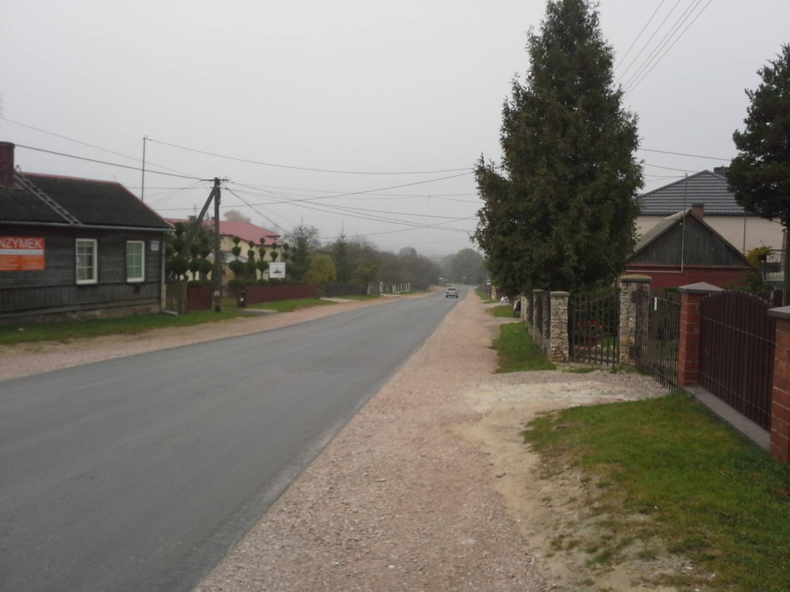
After less than a kilometre, the route leaves Kielce and in the village of Dyminy turns west. At the national road, it runs to the village of Posłowice. To the north of the trail you can see the massif of Mount Pierścienica, blocking the view of Kielce. There are also many off-road bike trails on this mountain. In Posłowice there is an interesting 20th century church of Saint Isidore the Labourer with very nice, eclectic architecture.
The trail reaches the village of Sitkówka and the edge of the forest, leading on a dirt road to the Sitkówka PKP railway station. About 2.5 km north of Sitkówka, in the village of Słowik in the ravine of the Bobrza River, the red trail comes to an end, which allows you to return to the city of Kielce on the edge of the forest complex of Mount Pierścienica.
Points of interest along the trail:
- Wietrznia Reserve, Geopark Kielce
- Forest complex of Mount Telegraf
- The church of St. Isidore the Labourer in the locality of Posłowice
The entire trail is suitable for bicycles with panniers/bike trailers. The trail runs separately from road traffic, only safe cycling through public roads, separate bike trails and roads without road traffic, dirt roads, forest roads and other roads. A recreational trail.
Starting point:
Kielce, the intersection of Wojska Polskiego and Aleja Popiełuszki streets
Finishing point:
Sitkówka PKP railway station