
 Highest point
 Lowest point
 Sum of driveways
 Sum of downhill
 High slope sections
 Connected with GreenVelo
 Slope
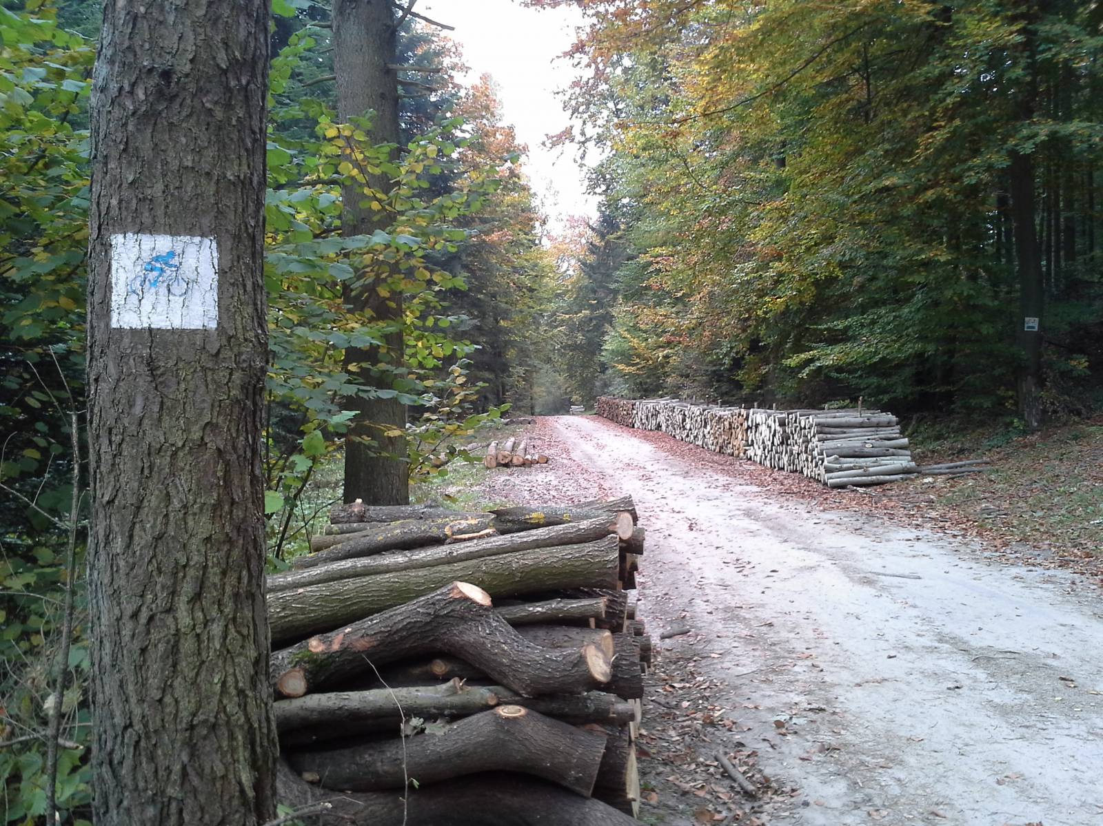
Slope Marking
The blue, high-performance bike trail around Mount Pierścienica is an excellent and well-signposted MTB trail, marked out in close proximity to the city of Kielce. It is 11 kilometres long and is a typical off-road, mountainous route with numerous ascents and descents, and sections full of stones and roots. Dedicated to experienced cyclists on mountain bikes. The trail is very well signposted. Really few cities in Poland can boast of this type of trail, specific to the mountains. In the case of the city of Kielce, this route lies within the city limits, on the recreational grounds of the Leśny Stadium and the slopes of Pierścienica.
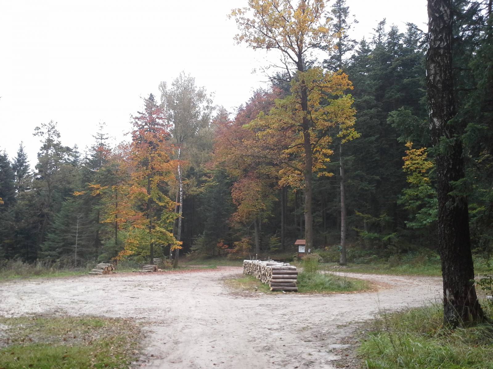
The general route of the trail is as follows: Kielce, lower ski lift station in Aleja na Stadion avenue (0.0 km) – fork in the road with the Green Velo trail (0.9 km) – Pierścienica and Kamienna Góra pass (2.5 km) – Kamienna Góra ( 3.1 km) – Biesak-Białogon Nature Reserve (4.4 km) – edge of the forest on the southern slopes of Piętnica, paved road (6.7 km) – road to Suków and Ściegiennego street (9.4 km) – parking area, rest area on the Green Velo trail (10.7 km) – Kielce, bottom ski lift station in Aleja na Stadion avenue (11.0 km).
The trail starts and ends at the ski lift, restaurant and hotel. It’s a good place to rest after covering the trail. There is also a bicycle wash and an option to park your bike safely. The route runs about 900 meters next to the Green Velo trail along Aleja na Stadion avenue, then turns uphill into a dirt road. Here is the first sharp ascent, a stony road, in a ravine carved out by water and cyclists. The trail rises to the pass between two hills of the Pierścienica range, where there is a shrine and a small glade.
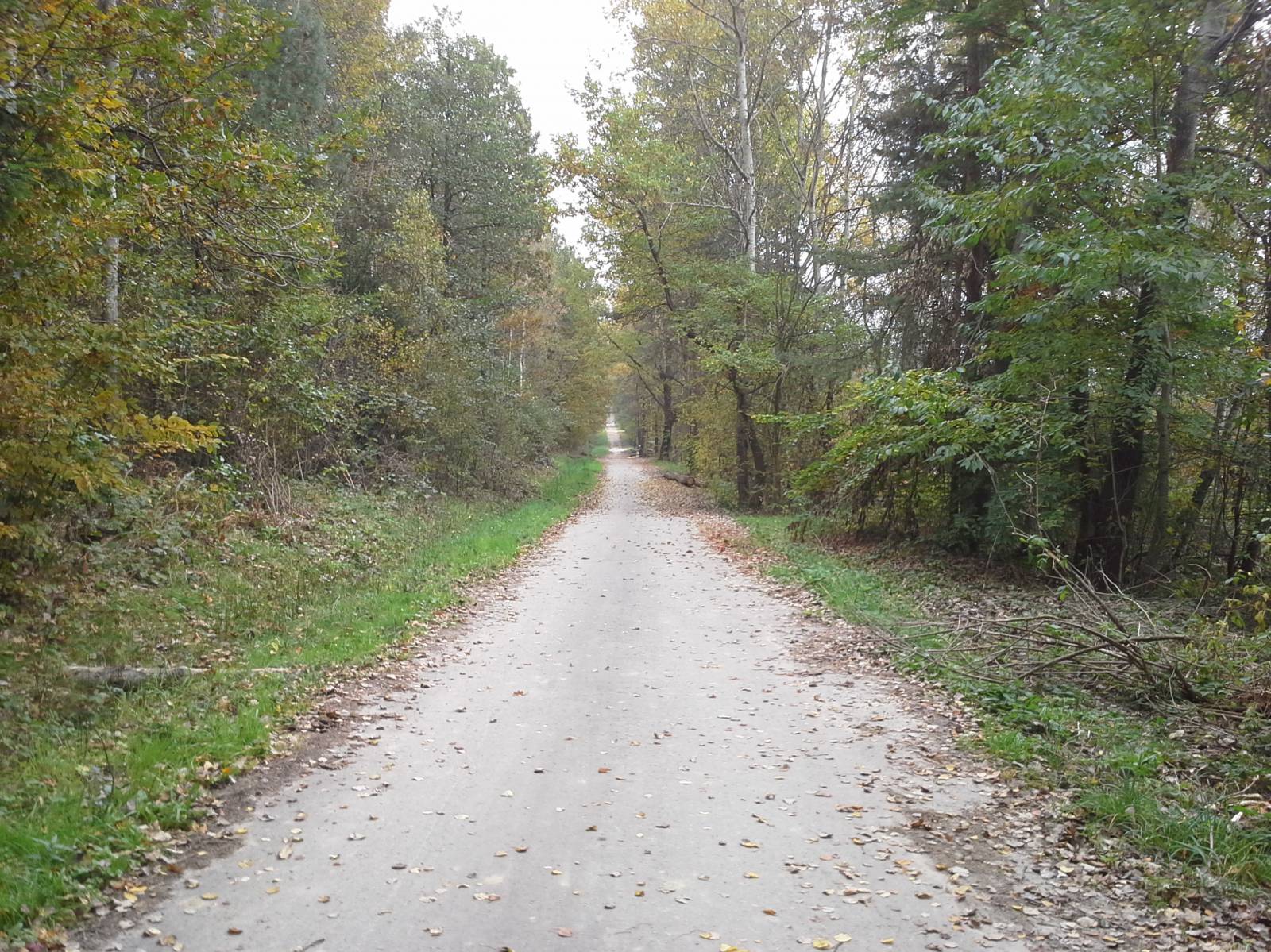
From here, the trail runs to the lower hills, Kamienna Góra, 366 meters above sea level. From there the route runs down, next to the Biesak-Białogon Nature Reserve. It is a former quarry in which there is a small lake. Then the trail turns south, into a valley between the massif of Mount Pierścienica and Biesak Hill. It runs to the edge of the forest to the asphalt road and the runs along the edge of the forest through the southern slopes of Mount Pierścienica. Arable land separates forests from the buildings of the village of Sitkówka-Nowiny. Then the trail goes deeply into the forest and, circling the massif of Mount Pierścienica from the east, the trail returns to Aleja na Stadion avenue near the parking lot. There is a rest area on the Green Velo trail, and less than 300 meters further the starting point of the trail near the ski lift and restaurant.
Points of interest along the trail:
- Mount Pierścienica – forests, a downhill route, a view of Kielce
- Ski lift, restaurant
Not all fragments of the trail are suitable for bicycles with panniers/bike trailers. The trail is separated from traffic, only safe cycling through public roads, separate bike trails and roads excluded from car traffic, dirt roads, forest roads and others. A trail for lovers of mountain biking and off-road cycling.
Starting point:
Kielce, the bottom station of the ski lift on the slope of Mount Pierścienica and the restaurant
Finishing point:
Kielce, the bottom station of the ski lift on the slope of Mount Pierścienica and the restaurant