
 Highest point
 Lowest point
 Sum of driveways
 Sum of downhill
 Slope
Slope Marking
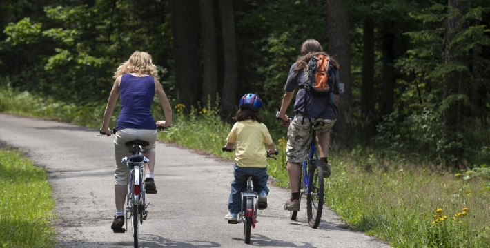
This trail is one of the Kielce bike trails running from the city centre to the suburban areas. It is signposted red, and is 3.4 kilometres long, and was marked out in the northern part of the city.
The trail starts at the intersection of Hubalczyków and Łódzka streets. It runs on the old asphalt road across a forested hill, called Bukowa, which is slightly over 317 meters high. Then, along Zastawie street, it runs to the village of Kostomłoty, close to the junction of expressways. From here you can continue your trip heading for the locality of Zagnańsk, Samsonowo or Bobrza.
The entire trail is suitable for bicycles with panniers/bike trailers. The trail runs only on roads without road traffic or on local roads with a low and very low volume of traffic; no dangerous intersections. A recreational trail.
Starting point:
Kielce, intersection of ul. Hubalczyków and Łódzka streets
Finishing point:
Kielce, Smolaka street