
 Highest point
 Lowest point
 Sum of driveways
 Sum of downhill
 High slope sections
 Slope
Slope Marking
The green bike trail around Łagów is a bike trail, just 15 kilometres long, leading through the eastern edge of the Orłowiński Range - part of the Świętokrzyskie Mountains. The route is of a recreational and family nature. In large part it runs through forests and there are no large ascents on the trail, while the fragment running along the ridges of the hills is very scenic and picturesque.
The general route of the trail is as follows: Łagów, centre (0.0 km) - Zora Woda (3.9 km) - turn to the forest road at the foot of Mt. Kiełków (7.5 km) - Sędek (10.0 km) - Łagów, centre (15.2 km).
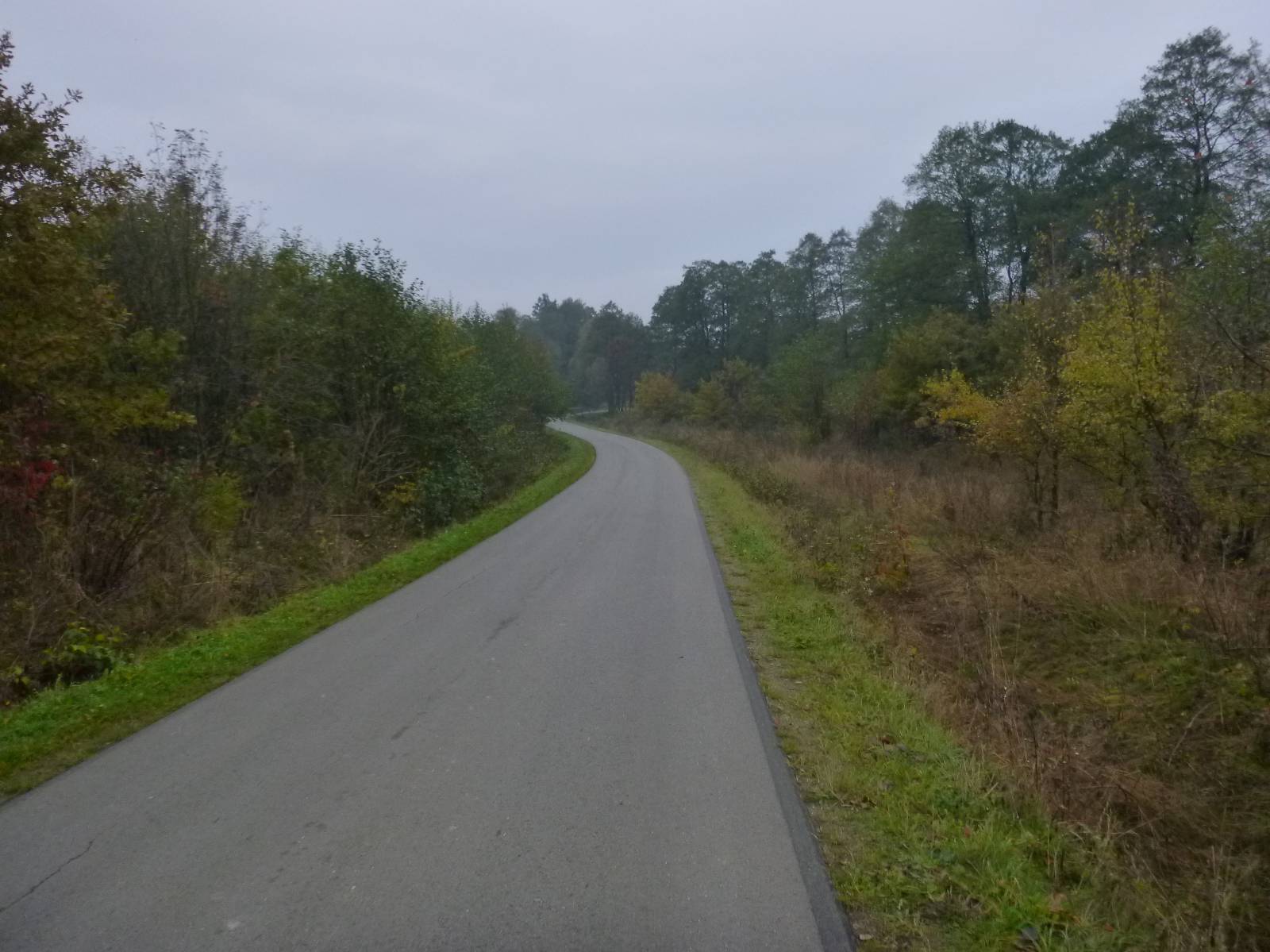
Trail signposting is fragmentary, but the intuitive course makes it difficult to get lost here. The route runs almost entirely on forest roads and empty, rural asphalt roads. The forest section one kilometre long is an old cobblestone road, but you can go along its edge. After rain, the forest section can be difficult to pass.
Łagów, where the trip begins, is a very old settlement, probably existing more than a thousand years ago. Nearby, there was a fortified settlement or castle, probably on the "Zamczysko" Hill near Nowa Huta. From the Middle Ages to 1869, Łagów was a town where craftsmanship flourished, especially pottery. The fall of the town took place in 19th century, deepened by the destruction of war. To date, the layout of the old town with the market square in the centre and a small Gothic church have survived. Near Łagów there is the noteworthy "Zbójecka" (Highwaymen) Cave, which is a habitat of bats, and the “Dule” Ravine, where a lot of Palaeozoic fossils have been found.
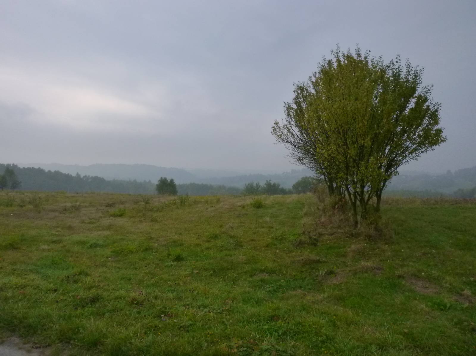
The trail from the Łagów market square runs west, towards the village of Złota Woda. From here, it goes deeply into the forest, leading between the forested hills of the Orłowiński Range to the foothills of Mount Kieł , which is over 450 meters above sea level. At this point, the route turns east, from the village of Sędek, running along an open, agriculturally used ridge of a hill that offers beautiful views.
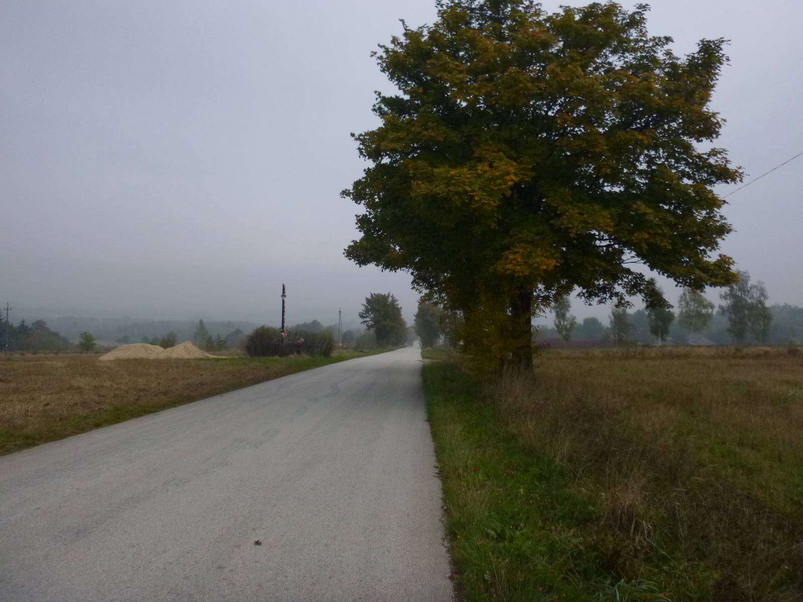
The last section before Łagów is a long, rather steep descent, because the height difference at this route section is over 100 meters. The trail ends at the starting point, at the Łagów market square.
Points of interest along the trail:
- Łagów - market, church
- The Orłowińskie range - forests, views
Not all fragments of the trail are suitable for bicycles with panniers/bike trailers. The trail runs only on roads without road traffic or on local roads with a low and very low volume of traffic; no dangerous intersections. A recreational trail. Trail offering outstanding vistas.
Starting point:
Łagów, market square
Finishing point:
Łagów, market square