
 Highest point
 Lowest point
 Sum of driveways
 Sum of downhill
 Slope
Slope Marking
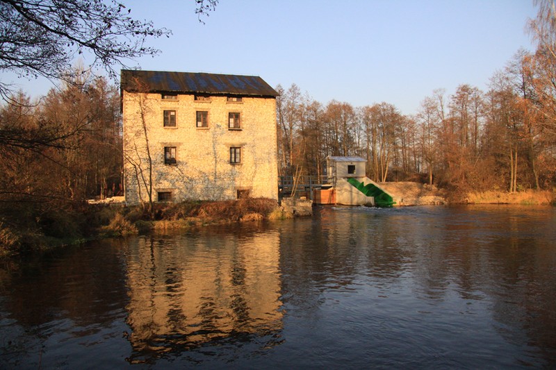
The trail in the Morawica Municipality is a nearly 50-kilometer bike trail, signposted in blue. It has the shape of a loop, marked out around this Kielce satellite town. It leads through forests and arable fields as well as numerous places in the upper Nida River valley. On the trail there are a few interesting sights and monuments; it is not too difficult and is suitable for recreational cycling trips.
The general route of the trail is as follows: Bilcza (0.0 km) - Brzeziny (4.2 km) - Nida (6.7 km) - Kawczyn (16.2 km) - Chałupki (17.7 km) - Lisów (27.2 km) - Zaborze (31.2 km) - Morawica (40.1 km) - Bilcza (47.4 km).
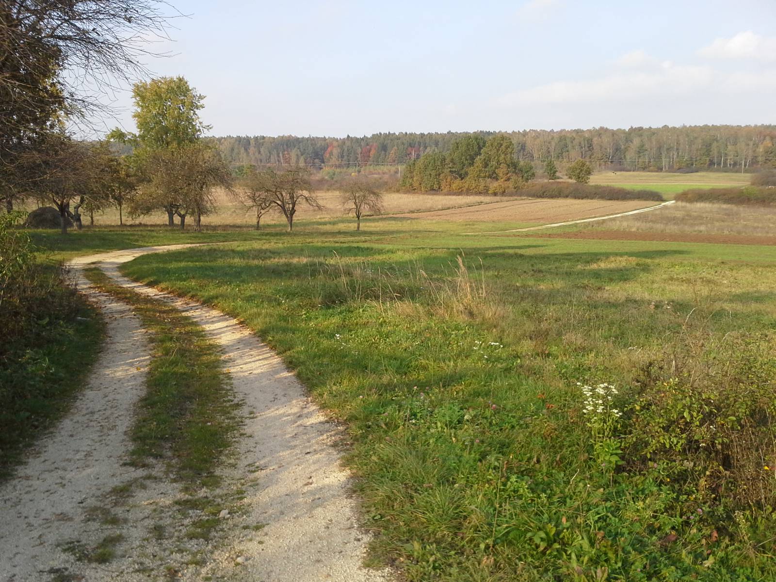
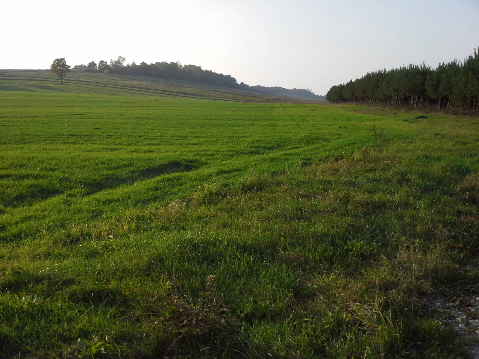
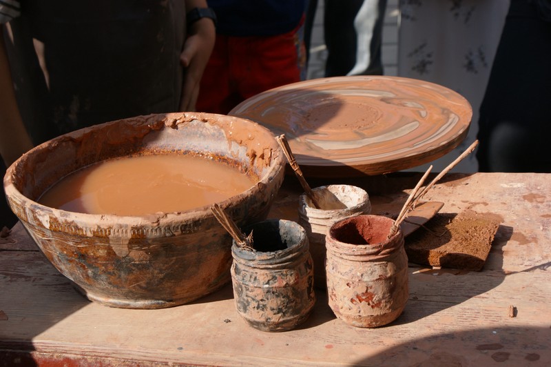
The trail starts and ends in the village of Bilcza, located by national road no. 73, about five kilometres south of Kielce. The route runs first to the west, to Czarna Nida River, through the village of Brzeziny. It is the longest village in the Świętokrzyskie Region. It stretches along the road over a distance of 9 kilometres and its population exceeds two thousand people. You can see here a Baroque church dating back to 17th century and two old cemeteries dating back to the 19th century. Beyond the village, the trail runs through the Czarna Nida valley, which is one of the rivers draining the southern part of the Świętokrzyskie Mountains. Together with the Biała Nida River, it creates a beautiful water route, popular with kayakers. Beyond the river, the trail climbs hills that offer extensive views of the hilly countryside. Then it runs through forests and fields to the village of Chałupki, famous for its centuries-old pottery tradition. You can see here the Centre of Pottery Tradition, a museum presenting local ceramic ware.
From there the trail runs to the east into the Morawka River valley, going past the town of Piotrkowice to the north, famous for a Marian sanctuary. The next village on the route is Lisów, in which there is also a historic church. There is also an interesting, private zoological garden, where you can see dozens of native and exotic animals. There is also a rich recreational and entertainment offer, especially for children.
From here the trail runs north, heading for the eastern suburbs of Morawica. This is the largest place in the area, featuring a Calvary sanctuary, an artificial lake, and a complex of old watermills. The route, however, bypasses the city and continues further north, next to the "Radomice" Yew Tree Reserve. It goes past the Bieleckie watermills, where a hydro-electric power plant was built on the Czarna Nida River, using a screw turbine, rarely used in similar power plants. From here the route returns to its starting point in the village of Bilcza.
Points of interest along the trail:
- The Czarna Nida River valley
- Chałupki - pottery centre
- Lisów - zoo, historic church
- Morawica - artificial lake, watermills, Calvary sanctuary, yew tree reserve
Not all fragments of the trail are suitable for bicycles with panniers/bike trailers. The trail runs only on roads without road traffic or on local roads with a low and very low volume of traffic; no dangerous intersections.
Starting point:
Locality of Bilcza, by provincial road no. 73, in front of the Volunteer Fire Brigade building
Finishing point:
Locality of Bilcza, by provincial road no. 73, in front of the Volunteer Fire Brigade building