
 Approximate driving time with sightseeing
 Highest point
 Lowest point
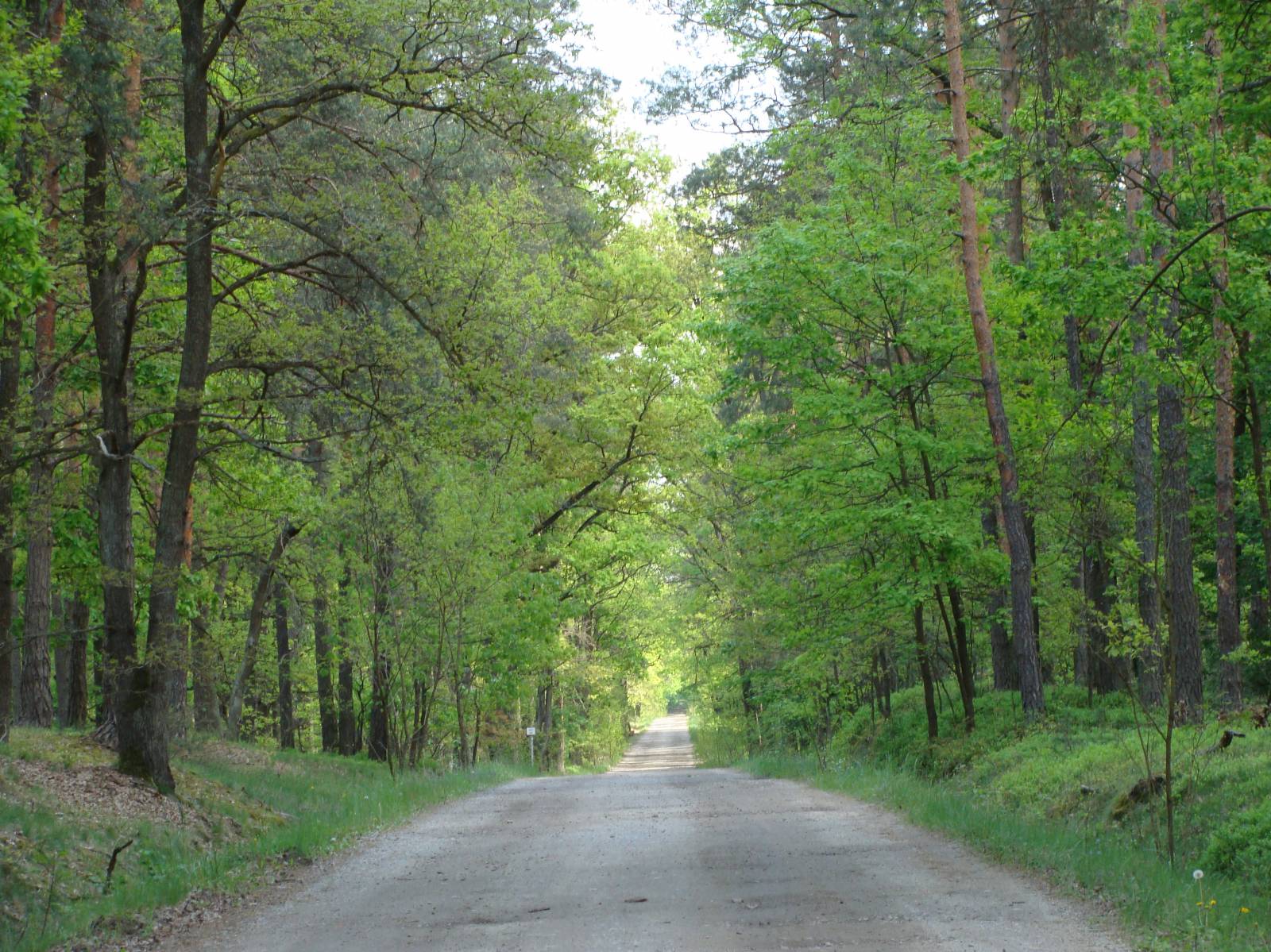
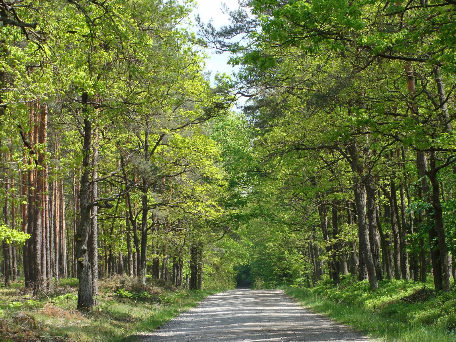
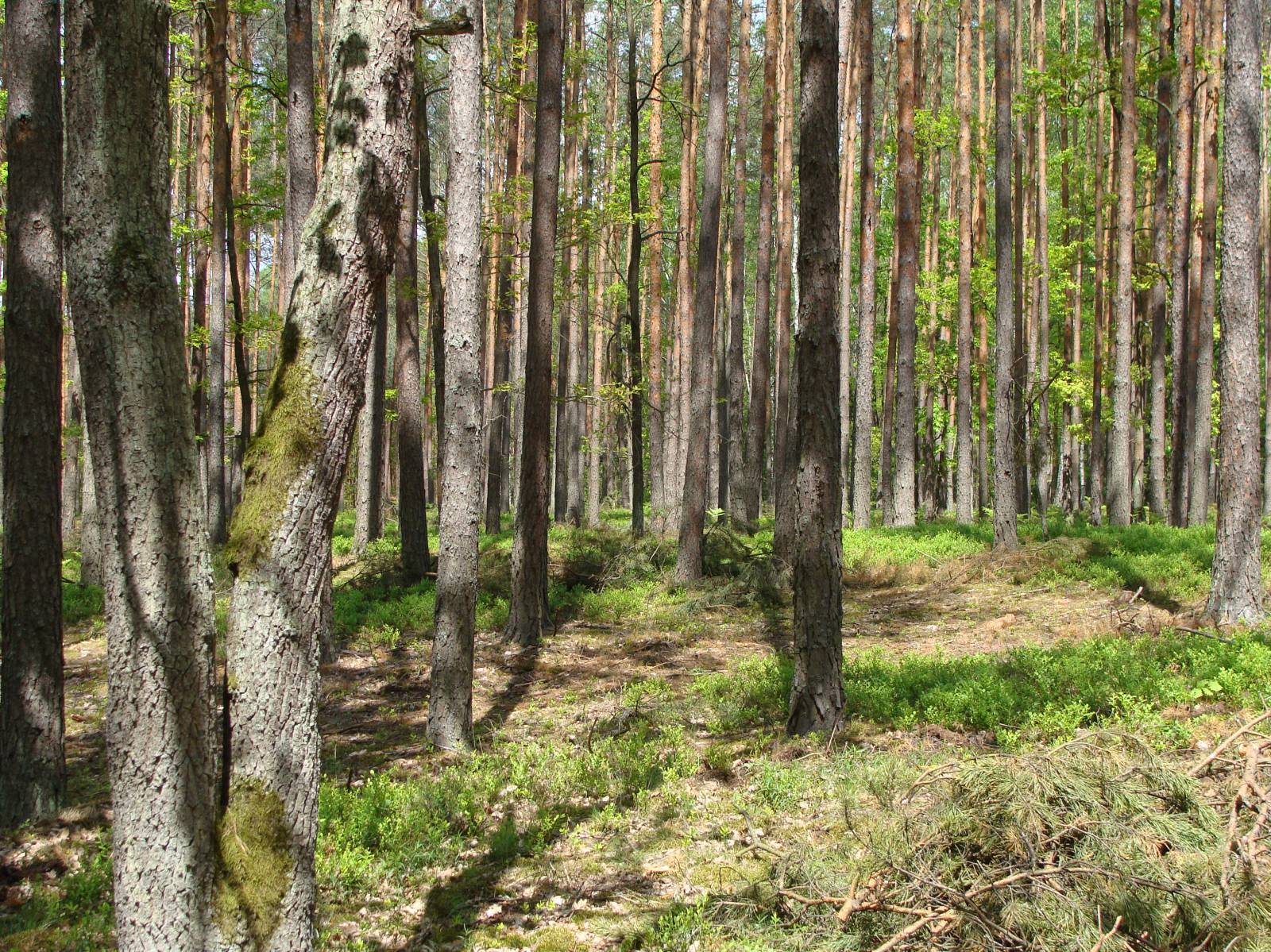
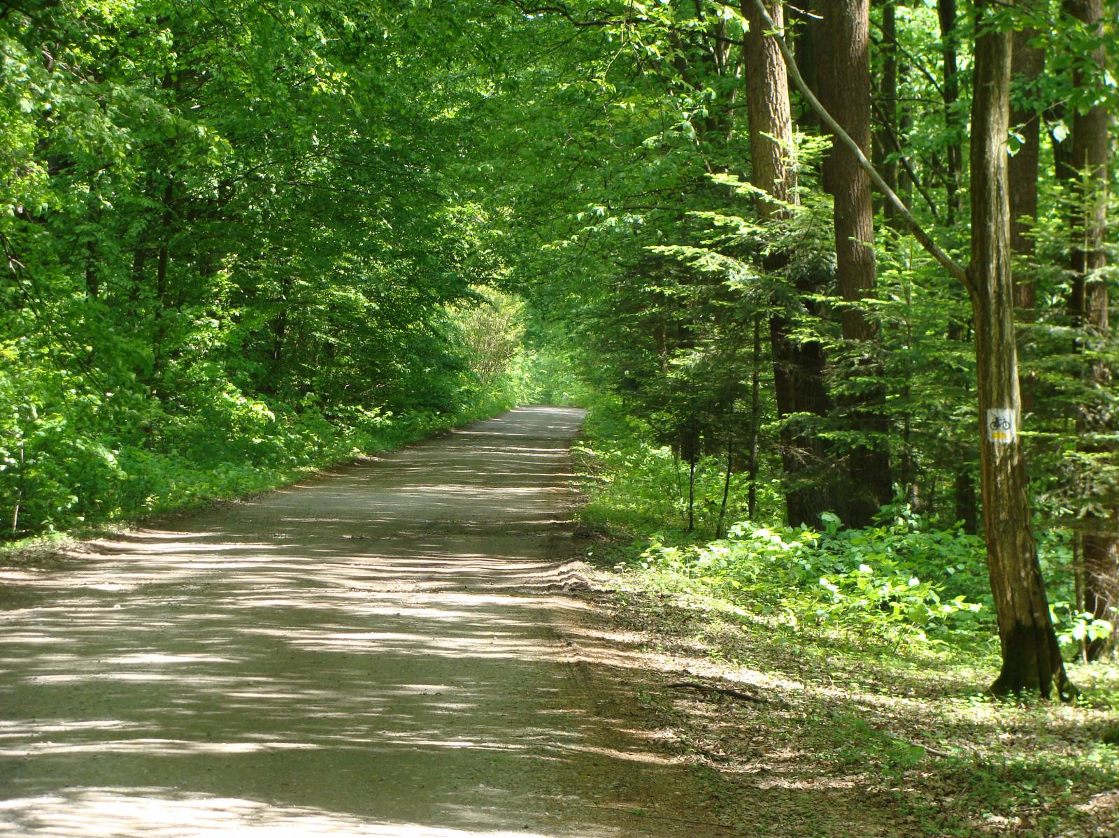
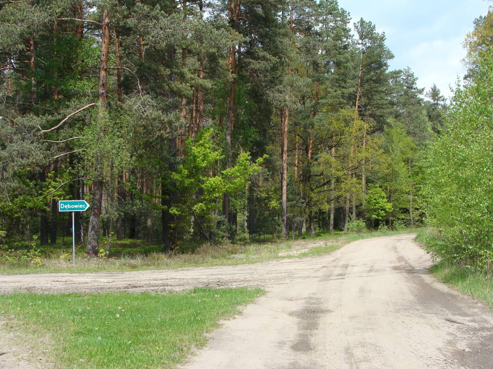
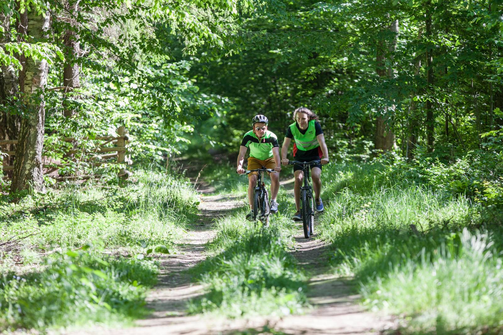
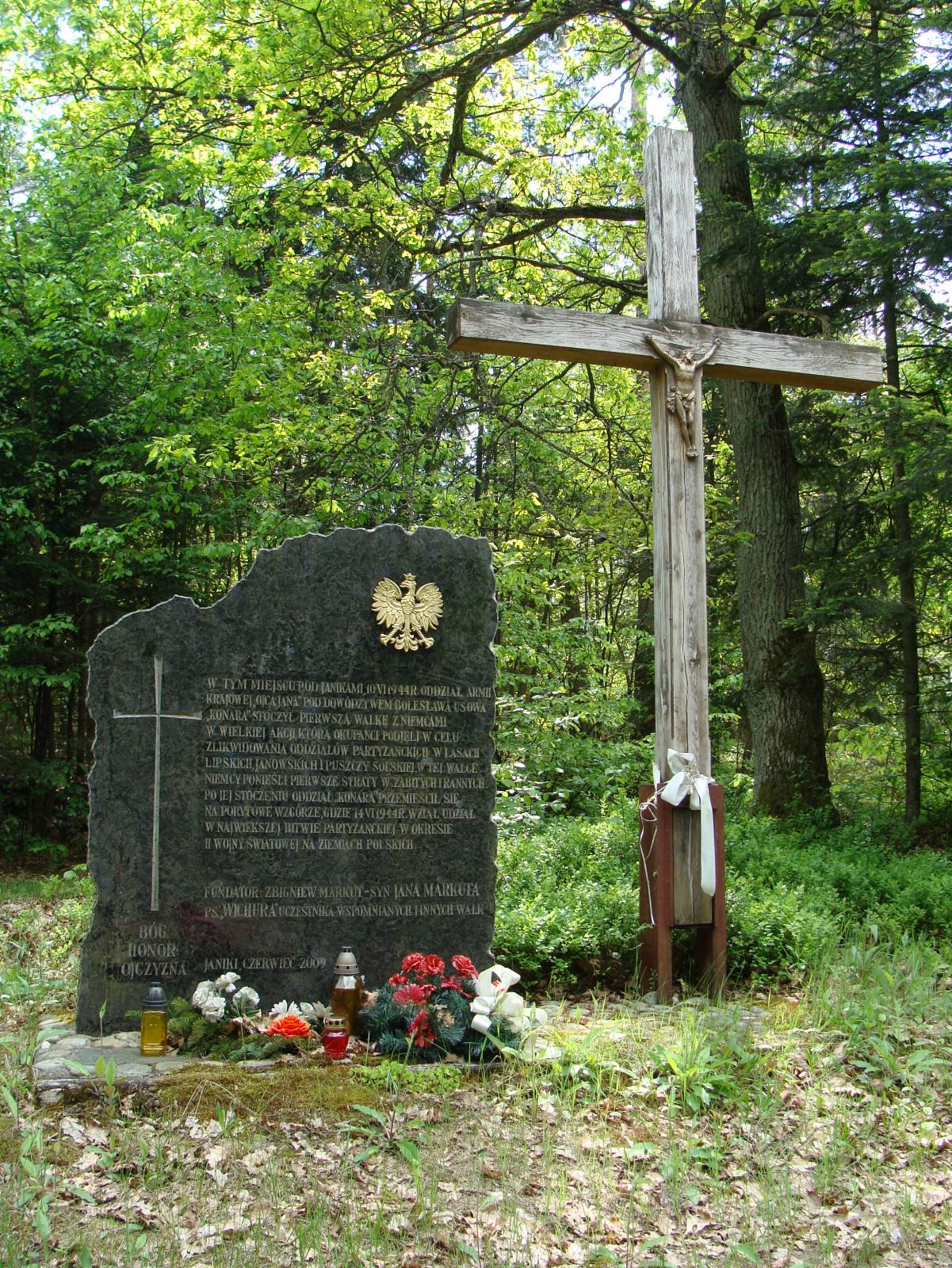
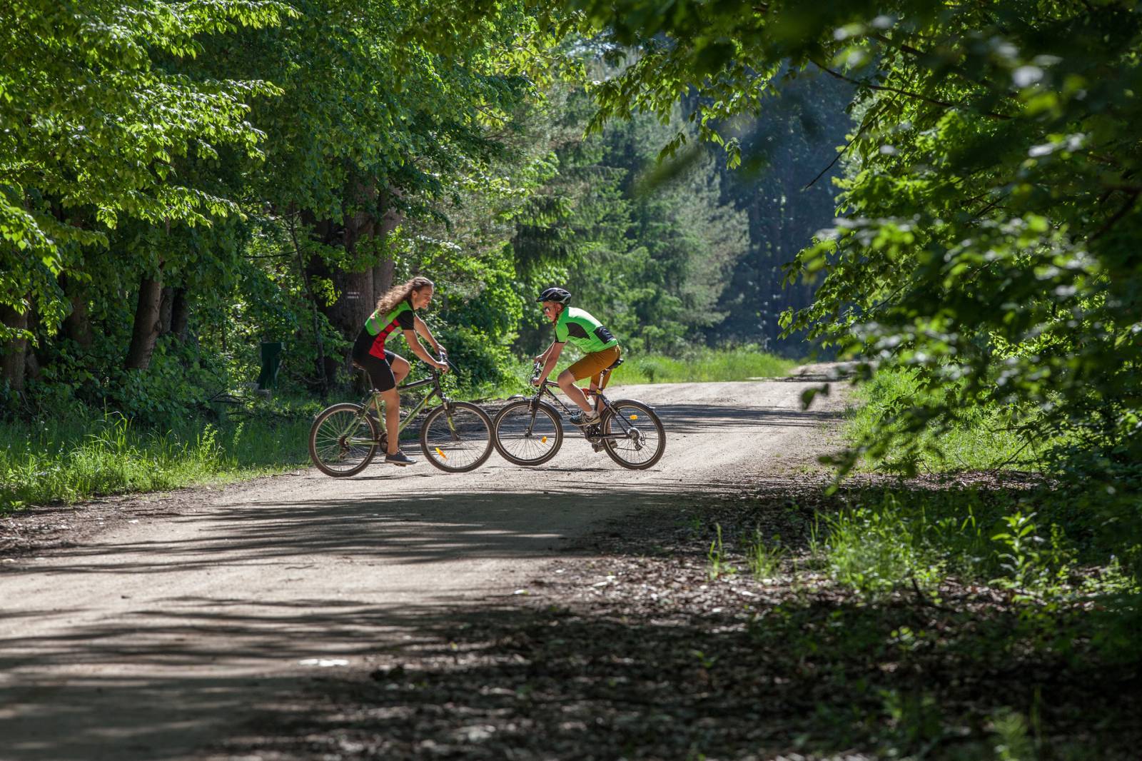
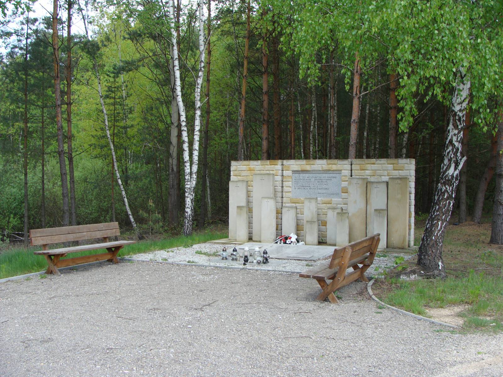
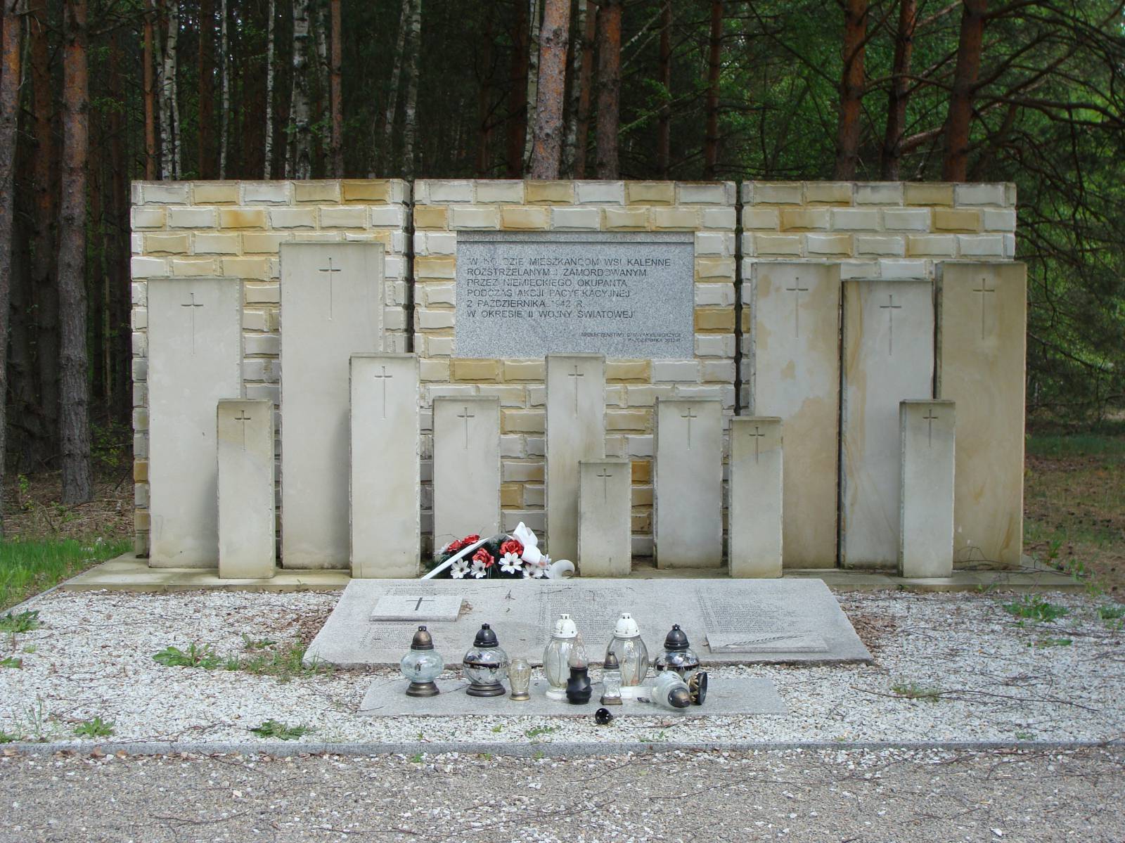
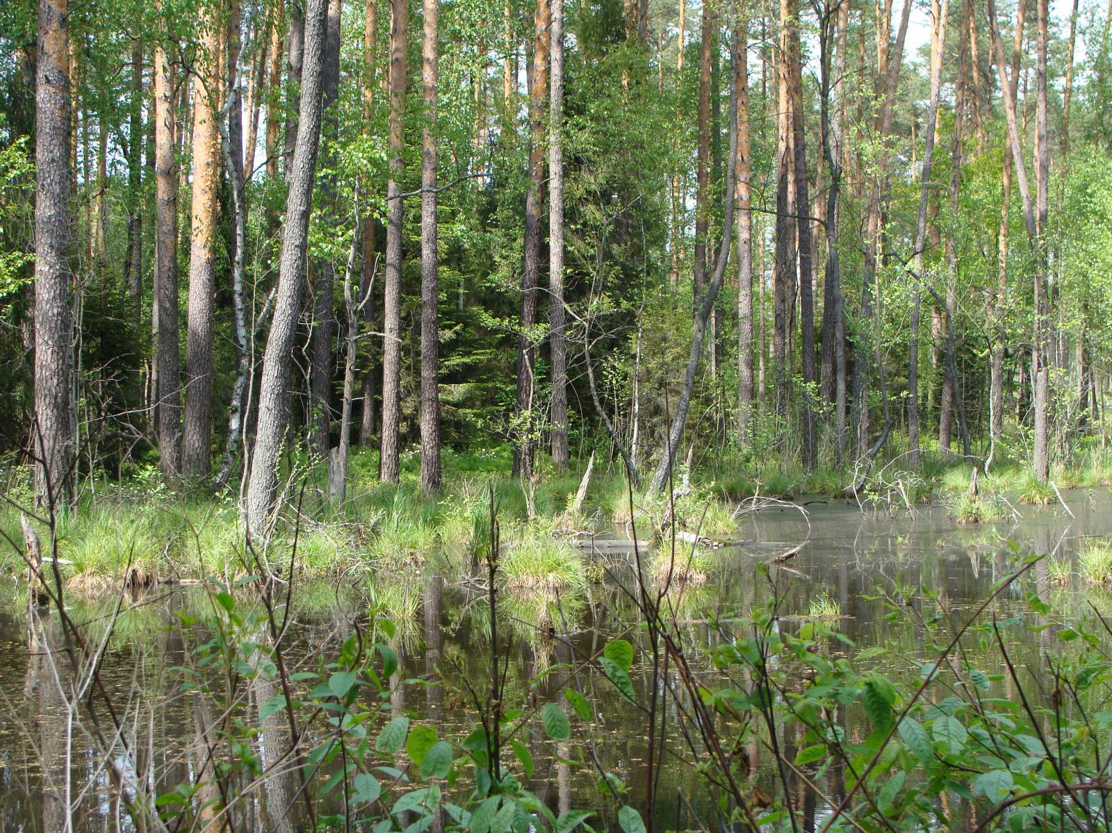
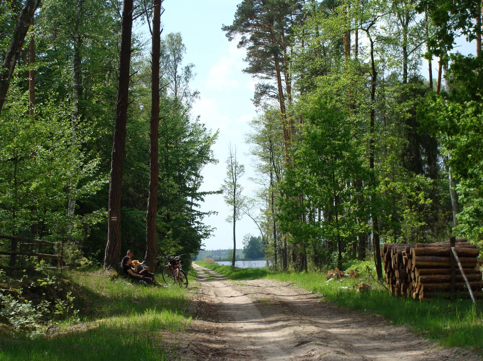
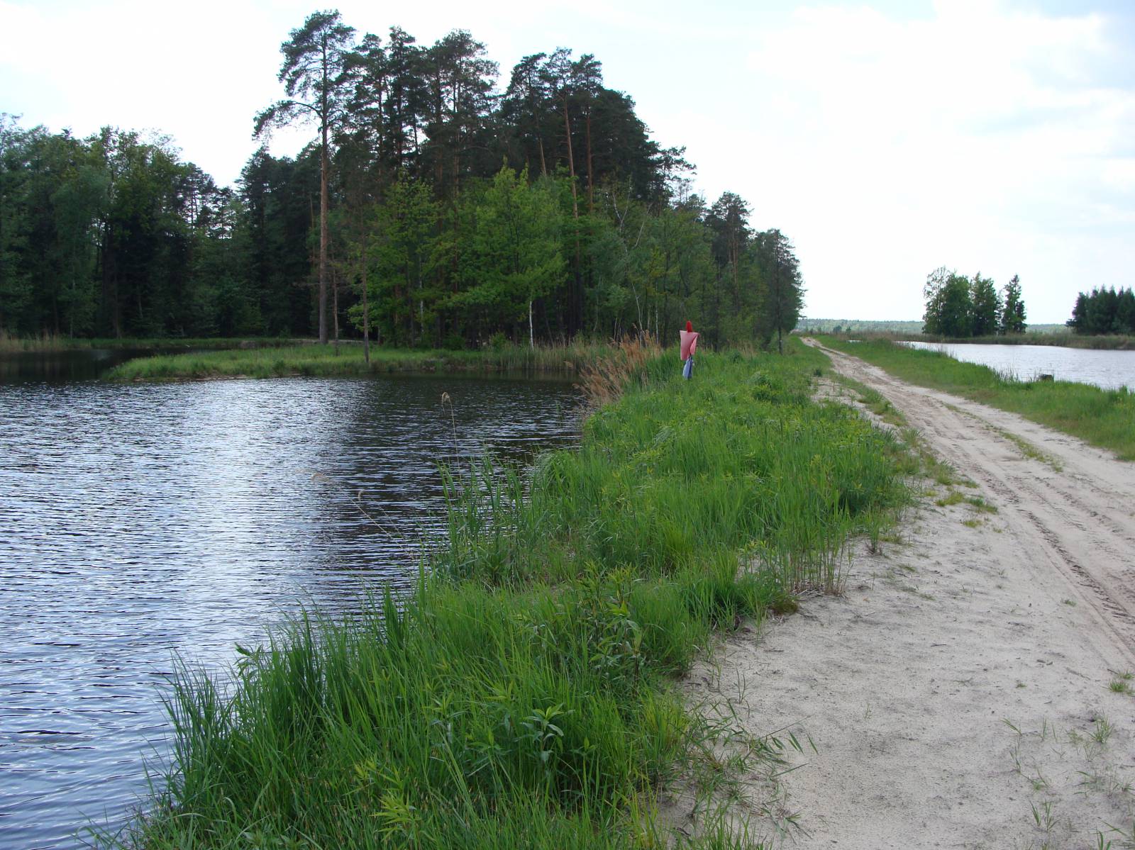
If you want to make an unusual trip through the corners of Janów Forests, this trip is for you. Most of the trail is designated on gravel roads and unsurfaced roads running through the forest complex being a part of the Solska Forest. The biggest attractions on the trail includes the Jastkowice Reserve, the Imiełty Ług Reserve, a monument to the inhabitants of the Kalenne village murdered during World War II, the Kalenne forest settlement, and a complex of ponds. The trail of the trip starts in the parking area near the Church of the Transfiguration in Jastkowice and leads through the most beautiful corners of Janów Forests – a forest complex being a part of the Solska Forest. The first section, which is 2 km long, overlaps with the yellow cycling trail and leads to the forest border. The trail is not marked from that point, so we recommend taking a map or a GPS. Then the road runs beside the Jastkowice Nature Reserve established in order to protect the natural mixed forest. On the next small forest crossroads, continue straight, heading for Dębowiec (the trail of the trip does not run through the settlement itself) and then for the Imielty Ług Reserve. Close to the border of the reserve, you can turn aside and see protected mires and marshes and a picturesque pond. Then the trail runs on an occasionally sandy road through forested dunes to the Natura 2000 Area – the Janów Forests Nature Reserve, which is situated farther towards the east. Another distinctive point on the trail of the trip is a monument commemorating the tragic events of World War II, when many inhabitants of the Kalenne village were executed during a Nazi pacification action. The monument is located at the crossroads with the asphalt road onto which you must turn, heading for the small Gwizdów village. Around 1.5 km away from the centre of the village, you must leave the asphalt road and ride farther on the sandy road along the Cultural Heritage Trail. Here begins one of the most interesting sections of the trail, which runs through the middle of a big complex of ponds. You should ride through there carefully, because the narrow and sandy road runs directly next to the water. The next places on the trail are Janiki and Goliszowiec. From there the trail leads through Rzeczyca Długa back to Jastkowice.
Trail option (35 km):
You can make the trip significantly shorter by riding through the Imiełty Ług Reserve to the Gwizdów village. This variant of the trail allows you to take a closer look at the attractions of the reserve.
Course of the trail:
- Jastkowice – 0 km
- Jastkowice Reserve – 5 km
- Imiełty Ług Reserve – 12 km
- Kalenne – 24 km
- Gwizdów – 28 km
- ponds near the Łukawice river – 32 km
- Goliszowiec – 40 km
- Rzeczyca Długa – 43 km
- Jastkowice – 48 km
Surface and marking of the trail:
Most of the trail runs on forest gravel roads and unsurfaced roads that are not marked. Only the section from Jastkowice to the Jastkowice Reserve overlaps with the yellow cycling trail. The trail is provided with benches and wooden tourist sheds.
List of attractions on the trail:
- Jastkowice Reserve
- Doboszówka forest settlement in Kalenne
- Monument in Kalenne
- Imiełty Ług Reserve
Tourist Information Point in Stalowa Wola, ul. Sandomierska 1, 37-464 Stalowa Wola, phone 15 84 48 556, e-mail: it@stalowawola.pl