
 Approximate driving time with sightseeing
 Highest point
 Lowest point
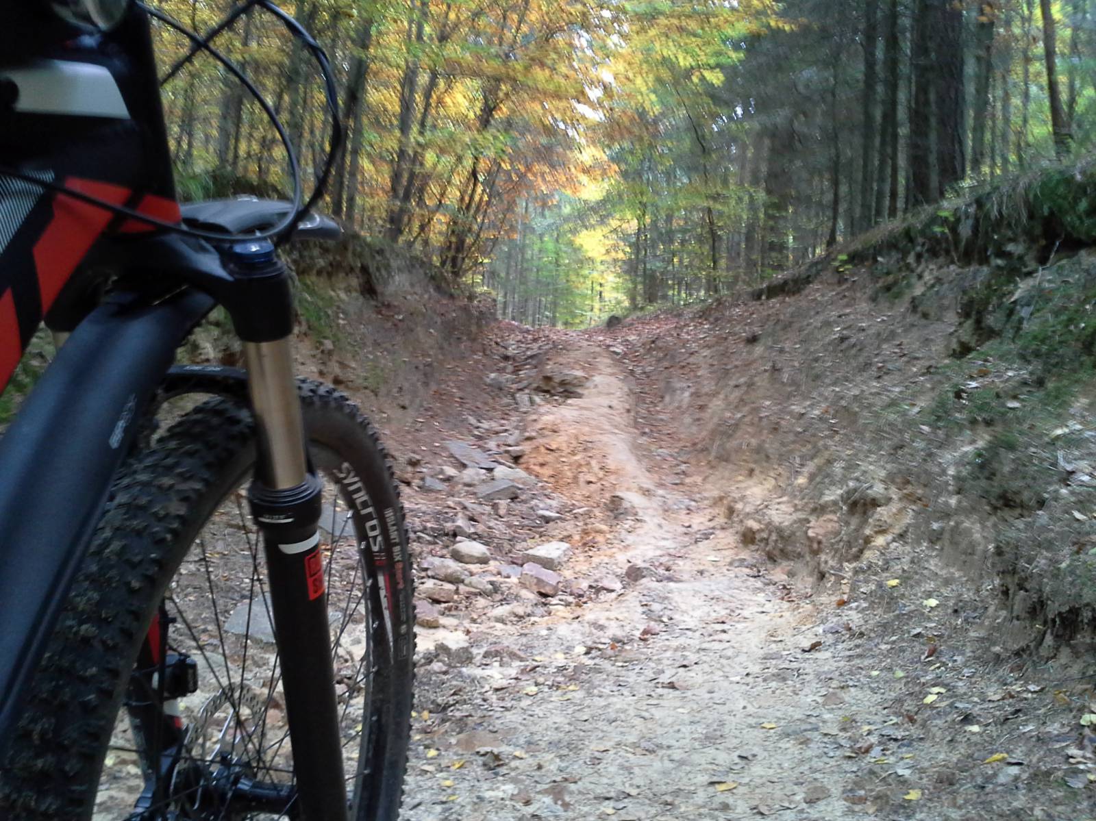
Protruding roots, stones sliding from under wheels, low-hanging branches, steep climbs and breakneck downhills... the power of two short loops in the area of the Posłowice Range lies not in their length, but in the lie of the land and the surface that will satisfy quite a few mountain bikers. The trail leads mostly through forest areas in the outskirts of Kielce. These areas lack historical treasures that are present in city centres, but they are by no means devoid of testimonies to turbulent history. Your trip begins at the Resting Place for Cyclists in the Culture and Recreation Park, commonly called the “Stadium.” You turn left and then, after several metres (you pass a hotel with a bike rental point on the way), you turn left onto the unsurfaced road near the stone obelisk past the marks of the red trail. The trail climbs steep upwards. Here you will come across the first protruding roots and stones sliding from under wheels, which will accompany you during the most part of the trail. After around one kilometre, you can see the “monument to mass executions.” During World War II, the area of the Kielce “Stadium” was a place of mass murders, and the monument stands at the site of an execution carried out in 1940. After a moment of reflection, you leave this place. After the further difficult climb, you will reach the viewing point at the peak of Pierścienica Mountain (367 m a.s.l.), from where a magnificent panorama of Kielce spreads out. Now it is time to return to the starting point. Around km 2 of the trail, you will come across a quite difficult and steep downhill. Then, without any major problems, you reach the car park near the Resting Place for Cyclists. After a short break, you turn left again. This time, however, you follow the signs of the blue trail. The trail leads you on a gentle asphalt road and then an unsurfaced road. After around 4.7 km, on a small glade, you see road signs leading to the Biesak-Białogon geological reserve. Geology enthusiasts should be interested by the fact that an unconventional arrangement of rock strata can be found in this inactive pit (Ordovician rocks are located below Cambrian rocks). The farther trail climbs up the slope of Kamienna Mountain along narrow forest paths. After riding down the hill and going slightly upwards, you will reach the asphalt road at which educational boards of State Forests are placed. After around 3 km, the trail turns left, again onto an unsurfaced road. Then, after less than 1 km, you meet the marks of the red trail that will lead you back to the parking area at the Resting Place for Cyclists.
Course of the trail :
- Kielce Forest Stadium (Resting Place for Cyclists) – 0 km
- National Remembrance Site – 7 km
- Viewing point on Pierścienica Mountain – 1 km
- Parking area at the Resting Place for Cyclists – 6 km
- Turning aside to the Biesak-Białogon reserve – 7 km
- Start of the asphalt road – 20 km
- Kielce Forest Stadium (Resting Place for Cyclists) – 5 km
Trip options :
The trip consists of two loops that start at the Resting Place for Cyclists. Each of these loops can be regarded as a separate ride on the mountain trail.
Marking and infrastructure:
The proposed trail of the trip encompasses two loops running along marked cycling tourist trails:
- shorter loop (ca 2.6 km) – marked in an unconventional way: the bent-over outline of a mountain biker in red against a white background. The direction of the trail (except for going straight ahead) is marked with arrows in red; the trail is marked on one side;
- longer loop (ca 11 km) – marked in an unconventional way: the bent-over outline of a mountain biker in blue against a white background. The direction of the trail (except for going straight ahead) is marked with arrows in blue; the trail is marked on one side; on the trail of this loop, you will also come across marks of an educational cycling path (unconventional marks presenting black symbols of a bike and a leaf against a white background).
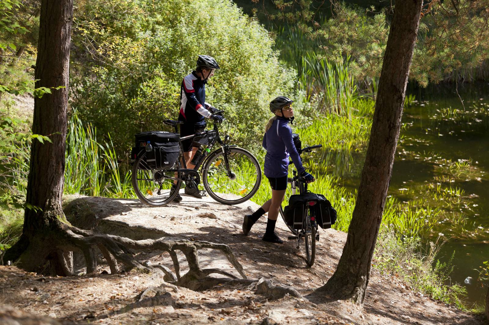
The trails are marked very carefully, allowing for quick orientation in the difficult mountainous area. ATTENTION! The trails are marked on one side (only the proposed direction of the trail is marked in the field). For this reason, the reversal of the direction is not recommended. The trail starts at the Resting Place for Cyclists in Kielce. Next to it there is a hotel with a bike rental point, a restaurant, and bike racks. Information boards concerning tourist trails in the surrounding area are placed nearby. Near the trail you will also find bike racks beside educational boards placed as a part of the educational forest cycling trail.
Surface :
The trail leads mostly on unsurfaced forest roads. It abounds in stones and protruding roots that will provide enthusiasts of MTB trails with the additional pleasure of riding on a demanding mountain terrain. Access to both loops includes a short fragment of an asphalt road (Na Stadion lane). The loop leading on the blue trail has a longer fragment with an asphalt surface (around 3 km of the technical fire road) that allows you to take a breath after field sections and to develop higher speeds at downhills. Around km 4.5, there is a several metres long section of a sandy road, but it should not cause trouble to experienced cyclists. The loop marked by the blue trail on sections leading at the foot of the mountains of the Posłowice Range may be muddy after heavy rains – from time to time, you must watch out for the water that accumulates in some ruts.
List of attractions on the trail :
- Culture and Recreation Park “Stadium” (pedestrian and cycling trails, recreation areas);
- national remembrance sites;
- viewing point on Pierścienica Mountain;
- educational forest path (information boards)