
 Highest point
 Lowest point
 Sum of driveways
 Sum of downhill
 Slope
Slope Marking
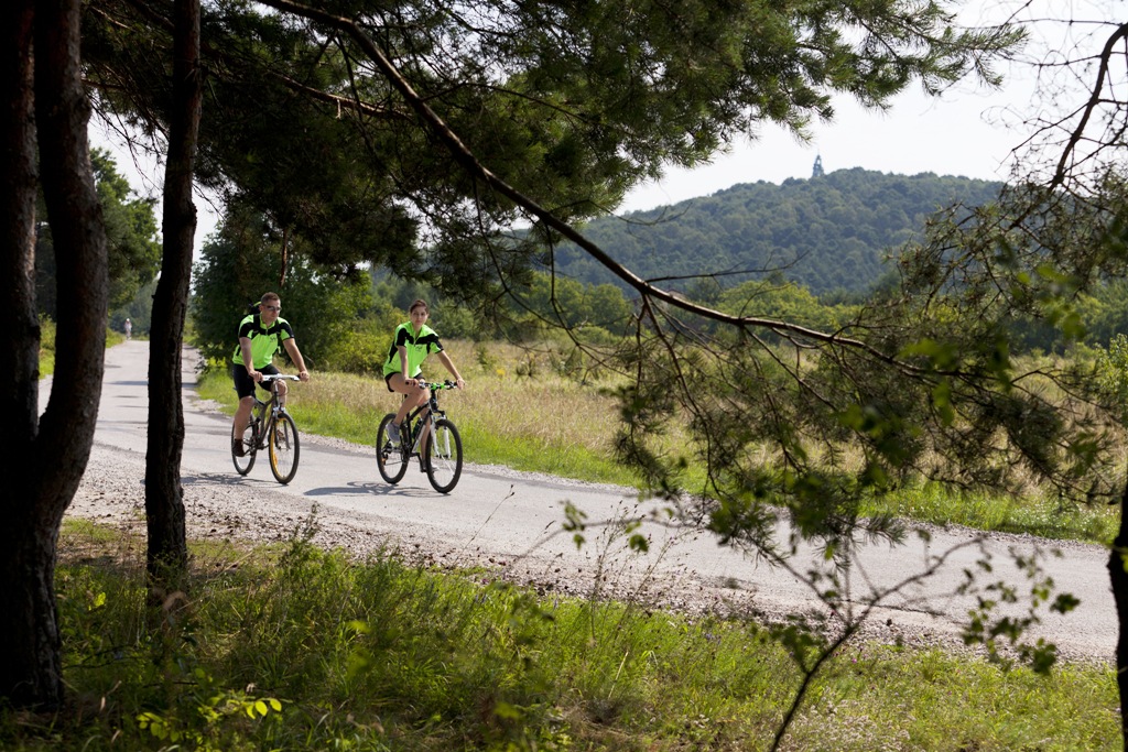
The bike trail from the city of Kielce to the locality of Białogon is one of the cycling routes marked in the city of Kielce, running from the city centre to suburban areas. It is signposted in red, it is 10 km long and runs from the Kadzielnia area in the city centre, through the former industrial district of Biesak in the south-west direction, that is to surroundings of the city of Chęciny abundant with pretty landscapes and historic monuments.
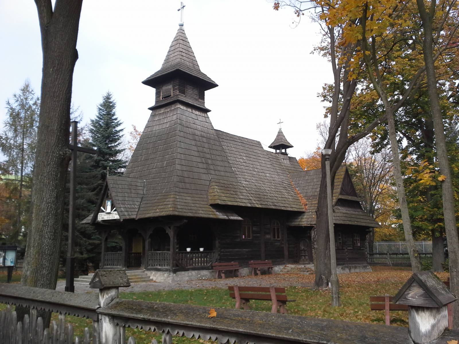
The general route of the trail is as follows: Kielce, Marmurowa street (track and field stadium) - Aleja na Stadion (1.0 km) – tennis courts in Biesak street (2.1 km) – edge of the forest near the railway tracks in the vicinity of the Kielce Białogon station (4.9 km) – wooden Church of the Transfiguration of our Lord (6.0 km) – edge of the forest at the foothills (8.0 km) - Zagrody (9.7 km).
The trail starts at the athletic stadium, at the end of Legionów street. This is the area around Kadzielnia and recreational areas of the Leśny Stadium, popular with Kielce strollers. In the nearby woods growing on Mount Pierścienica, numerous bike paths have been marked out, including some tough ones for MTB cyclists.
The trail runs through Baranowski Park, then turns next to the old Jewish cemetery and runs along the edge of the mountain forests covering the massif of Mount Pierścienica at its foothills, towards the Białogon district of Kielce. The trail runs along the railway tracks, crossing them closer to the built-up areas, and then crosses Krakowska street leading to the centre of the former Białogon district.
The history of this part of the city is interesting and little known. Located on the Bobrza River, the settlement gained industrial significance starting from the 17th century. Industrialization was fuelled by the availability of metal ores extracted from the surrounding hills and access to hydropower generated by the Bobrza River flowing in a ravine. Copper and lead smelters were built, following by the construction of a cast iron foundry. In the early 19th century, an industrial housing estate was established, and its star layout has survived to date and is protected. In the centre of the former settlement stands a wooden church of the Transfiguration of our Lord dating back to the early 20th century, in style similar to those of the Zakopane temples on which it was modelled. It was not until the 1960s that the Białogon district was incorporated into the city of Kielce. To date the industrial plants are operated here, continuing the centuries-old tradition.
The trail from the Białogon district runs south on a forest path, the edge of the hill. It ends in the village of Zagrody, already outside the city limits. From here, you can continue cycling towards Chęciny, Miedzianka or Jaskinia Raj or return to the city of Kielce, for example by the bike trail running south of Mount Pierścienica, starting at the Sitkówka railway station.
Points of interest along the trail:
- Leśny Stadium in Kielce – recreational areas, parks, playgrounds for children, a rope park, a ski lift, walking trails, MTB bike trails
- Białogon – a historic industrial district from the 19th century
- The Church of Transfiguration of the Lord from the beginning of 20th century in the Zakopane style
Not all fragments of the trail are suitable for bicycles with panniers/bike trailers. The trail runs only on roads without road traffic or on local roads with a low and very low volume of road traffic; no dangerous intersections.
Starting point:
Kielce, Marmurowa street, at the athletics stadium
Finishing point:
Zalesie / Słowik, bridge over the Bobrza River, Krakowska street