
 Highest point
 Lowest point
 Sum of driveways
 Sum of downhill
 Connected with GreenVelo
 Slope
Slope Marking
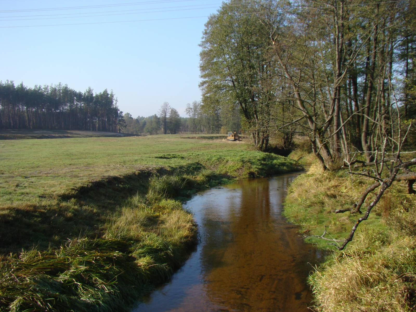
The Smyków - Drugnia Bike Trail is signposted in yellow, an 8 km long connecting route. It is part of the trail network in the Świętokrzyskie Province, connecting the Green Velo trail in Smyków and the locality of Chmielnik. It runs on dirt and asphalt roads, through the small, remote villages of Smyków, Papiernia and Drugnia.
The general route of the trail is as follows: Smyków (0.0 km) - Papiernia (2.7 km) – Drugnia (8.2 km).
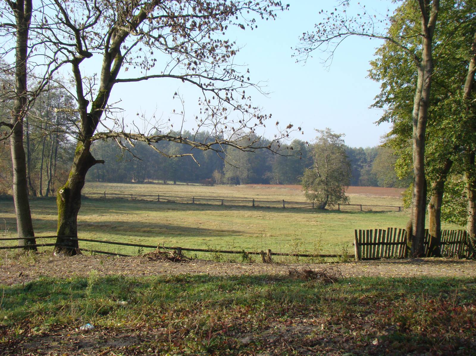
The route is slightly hilly, in part running along the edge of forests, growing on the eastern part of the Świętokrzyskie Mountains, and partly through farmland. The surface in the northern part of the trail is ground, sandy. The last two kilometres before Drugnia is an asphalt road. These areas are very sparsely populated, visited by berry and mushroom pickers. In Drugnia you can see an old, rural church. From this town, you can continue along the green bicycle trail to the locality of Chmielnik (about 10 kilometres), or return to Smyków along the green trail, over a distance of 13 kilometres. You can also go from here to the locality of Raków along the black trail.
Points of interest along the trail:
- Drugnia - a rural church
- Forests of the southern part of the Cisowski Range (the southern edge of the Świętokrzyskie Mountains)
The entire trail is suitable for bicycles with panniers/bike trailers. The trail runs only on roads without road traffic or on local roads with a low and very low volume of road traffic; no dangerous intersections.
Starting point:
Smyków, the intersection with the Green Velo trail
Finishing point:
Drugnia, near the church