
 Approximate driving time with sightseeing
 Highest point
 Lowest point
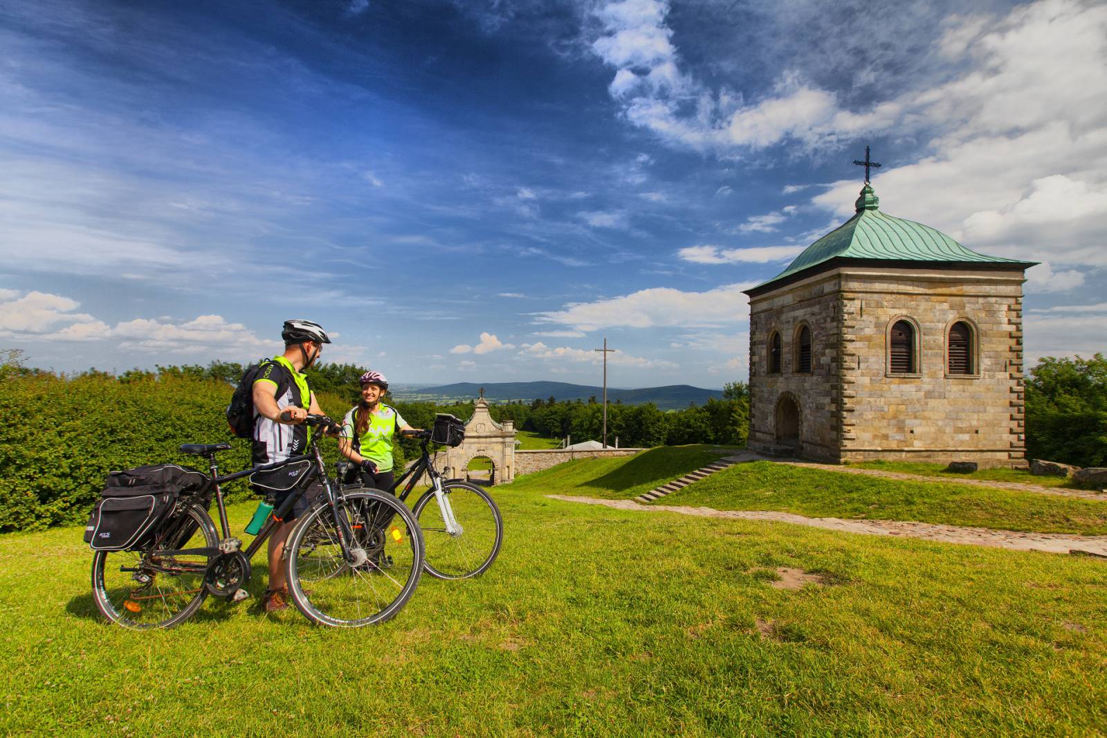
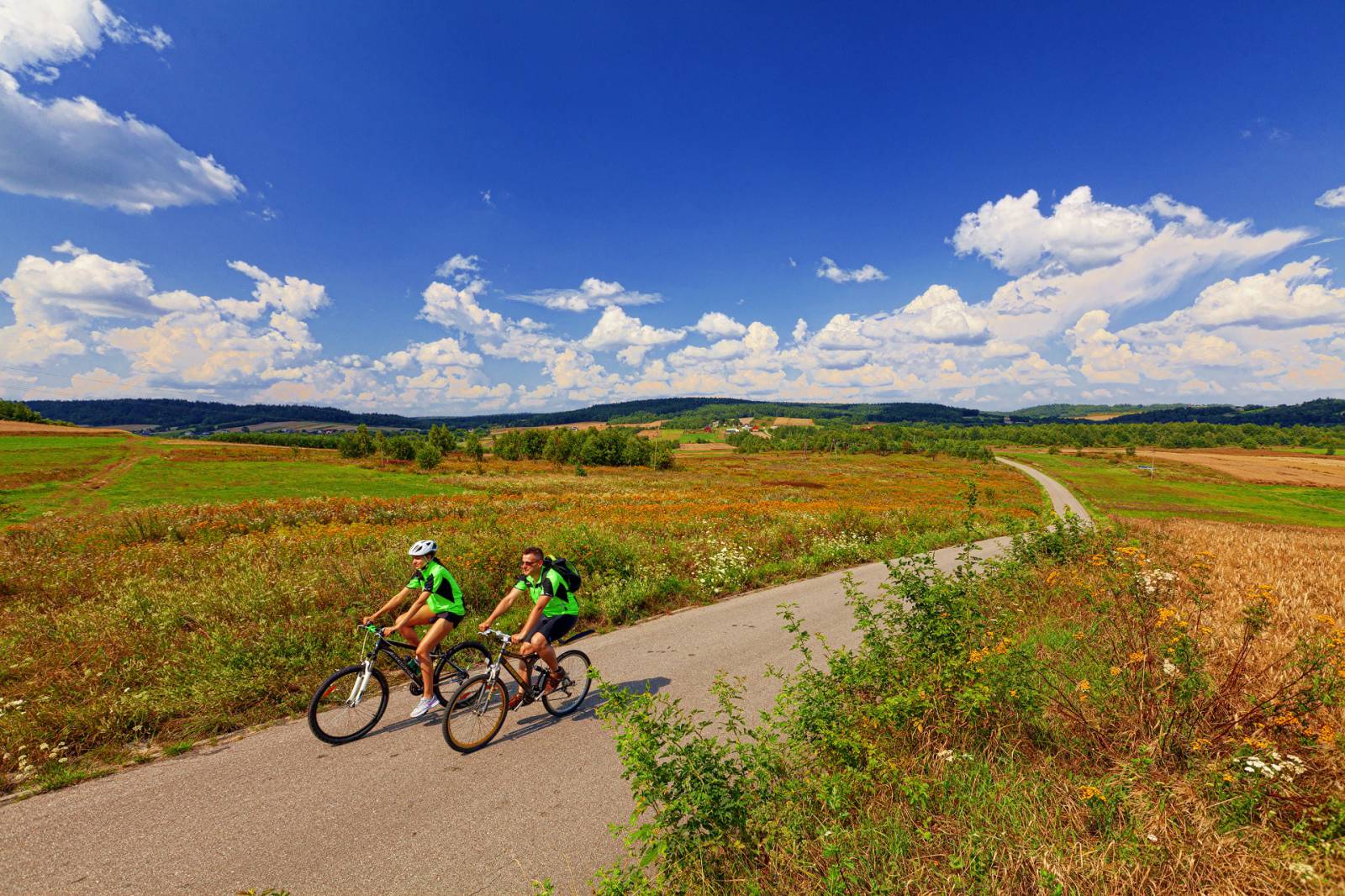
Feel the atmosphere of the Świętokrzyskie Mountains without taking on technically difficult sections. For most of the trip, cyclists will be accompanied by unique views of the Świętokrzyski National Park and the Cisowsko-Orłowiński Landscape Park. Difficulties in conquering the climb up Łysa Góra will be rewarded with a visit in the oldest Polish sanctuary. Visitors can explore the rich history of the Świętokrzyskie Mountains by visting the Medieval Settlement in Huta Szklana or resting in the shadow of the historical hut in Kakonin.
Bieliny in the Świętokrzyskie Mountains is the start of the bike expedition to Łysiec, where the Sanctuary of the Holy Cross Wood Relic is located. The trip begins at the car park by the church in Bieliny, where the trail turns left. At the intersection, turn left onto Starowiejska Street and then onto Partyzantów Street. You will find signs for the green biking trail, which will accompany cyclists for the duration of the trip.
You will reach Makoszyn via Czaplów. Go past the chapel and cross the national road (watch out for cars). Skirting the edge of the Cisowsko-Orłowiński Landscape Park, you will reach Lechów. After crossing Road No. 74 again, head towards Bartoszowiny. After several minutes, you will get to the top of an incline. After coming back down from it, you will reach a dirt road running along the Świętokrzyski National Park buffer zone.
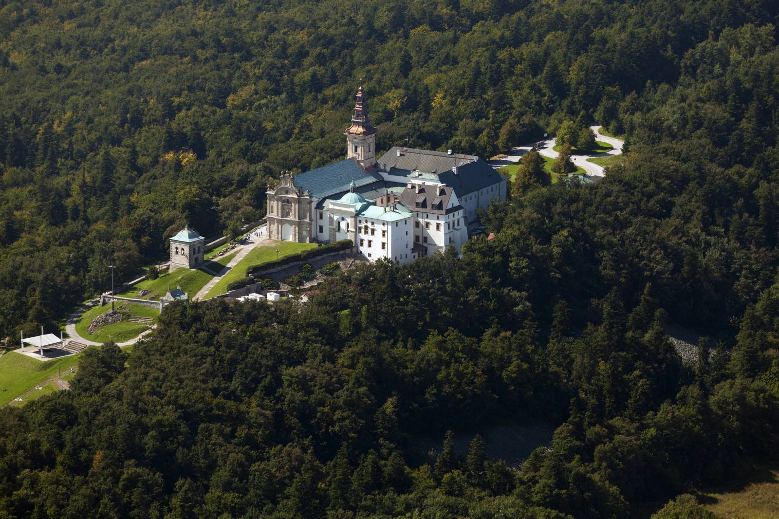
From Huta Szklana, an asphalt road leads into the Świętokrzyski National Park. On the way, you will pass a viewing platform looking out onto a stone run and the tower of the Broadcasting Centre, as well as the former Benedictine Abbey. Next, you will go back to Huta Szklana and towards Kakonin, from which you should head towards Porąbki and turn left behind the school building. The rest of the trail is marked by the visible church in Bieliny.
Route:
- Bieliny – 0km
- Makoszyn – 6km
- Lechów – 10km
- Bartoszowiny – 15km
- Huta Szklana – 18km
- Łysa Góra – 21km
- Huta Szklana – 23km
- Huta Podłysica – 26km
- Podlesie – 30km
- Kakonin – 32km
- Porąbki - 35km
- Bieliny – 38,2km
Surface:
- Asphalt roads: approx. 83%
- Dirt road segments: approx. 17%
The route is marked according to PTTK standards in green
Tourist attractions on the route:
- Church of St Joseph, Husband of Mary in Bieliny (ul. Żeromskiego 12, 26-004, tel. 41 302 50 13,www.bieliny.kielce.opoka.org.pl)
- Świętokrzyski National Park (www.swietokrzyskipn.org.pl)
- Medieval Settlement in Huta Szklana (Huta Szklana 37, 26-004 Bieliny, tel. 41 260 81 56, zamowienie@bieliny.pl, www.osadasredniowieczna.eu)
- Holy Cross Wood Relic Sanctuary (Święty Krzyż 1, 26-004 Bieliny, tel. 41 317 70 21, www.swietykrzyz.pl)
- Nature Museum of the Świętokrzyski National Park (Św. Krzyż 1; 26-004 Bieliny, tel. 41 31 77 087; 690 080 034, www.swietykrzyz.pl)
- Historical hut from the 19th century in Kakonin