
 Approximate driving time with sightseeing
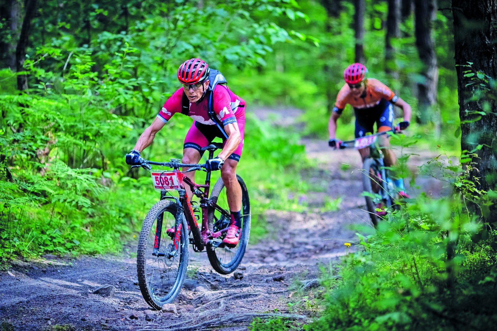
This trail is one for true mountain biking enthusiasts. Going through forested areas for almost its entire length, it follows the route of the MTB Cross Marathon through the Zgórskie and Zelejowskie Ranges. The most demanding section is the eastern part of the Zgórskie Range as it involves a number of steep inclines and difficult descents, including climbing up the highest peak in the area – Patrol mountain (388 m above sea level). In the Zelejowskie Range, you will ride around Góra Żakowa Nature Reserve, passing the Stokówka quarry and Piekło Cave as you do so. This is a challenging route for experienced cyclists.
Zawada, shelter (0.0 km) → Góra Żakowa Nature Reserve (4.5 km) → Piekło Cave (8.4 km) → Zagórze, asphalt road (14.8 km) → crossing over the S7 expressway (17.3 km) → Kielce-Słowik (23.5 km) → crossing over the S7 expressway (28.9 km) → Zawada, shelter (34.6 km)
- Lenght: 34.6 km
- Time: 4-5 hours
- Type: MTB
- Elevation: 796 m
- 98% unpaved roads, 2% gravel roads
- Difficult
Getting there and starting out
You can park at the end of the village of Zawada, next to the red bike trail and a shelter, and that is also the recommended starting point for the route. You can also reach Piekoszów or Kielce (Kielce Słowik station) by train.
Technical description
Starting out from the shelter, follow the signs for the red bike trail along the gravel road. After 400 m, turn left onto a forest path that will take you to the Zelejowskie Range. The first steep ascent ahead is Bukowa. After that, you will ride around Góra Żakowa Nature Reserve, partly following the signs for a blue hiking trail. Turn left into the Stokówka quarry before Piekło Cave. Climb Stokówka and then descend again to Piekło Cave. The next elevation is Żakowa (352 m above sea level), and then you will go downhill to a gravel road leading to the village of Zawada, where you started out from. That is not the end of the ride, however, as now comes the second, more demanding, part, leading through the Zgórskie Range. It begins with a climb up Ciastowa. Once at the top, continue your ride along the ridge, with various ascents and descents on the way. After climbing Góra Plebańska (342 m above sea level), traverse the southern slopes of Skwarnia and Belnia hills, cross the S7 expressway and climb up Pruskowa (368 m above sea level). After that, there will be a fast descent, followed by an ascent up Zielona (372 m above sea level). Go around the highest peak – Patrol (388 m above sea level) – from the north so you can attack it shortly afterwards from the east, following the signs for the blue hiking trail. The loop continues as you head west again, with a steep descent from Zielona taking you down to the forest edge. Cross the expressway again and then return to Zawada via Belnia (362 m above sea level) and the southern slopes of the range.
Attractions along the way:
Piekło Cave
Situated on the slope of Żakowa Góra, this cave is one of the most interesting underground karst formations in the Chęciny region. With a total length of 57 m, the cave interior contains trace fragments of calcite formations, while some signs of mining activity are also visible. The cave is associated with legends about devils, hence its name (Piekło means “Hell” in Polish).