
 Highest point
 Lowest point
 Sum of driveways
 Sum of downhill
 High slope sections
 Slope
Slope Marking
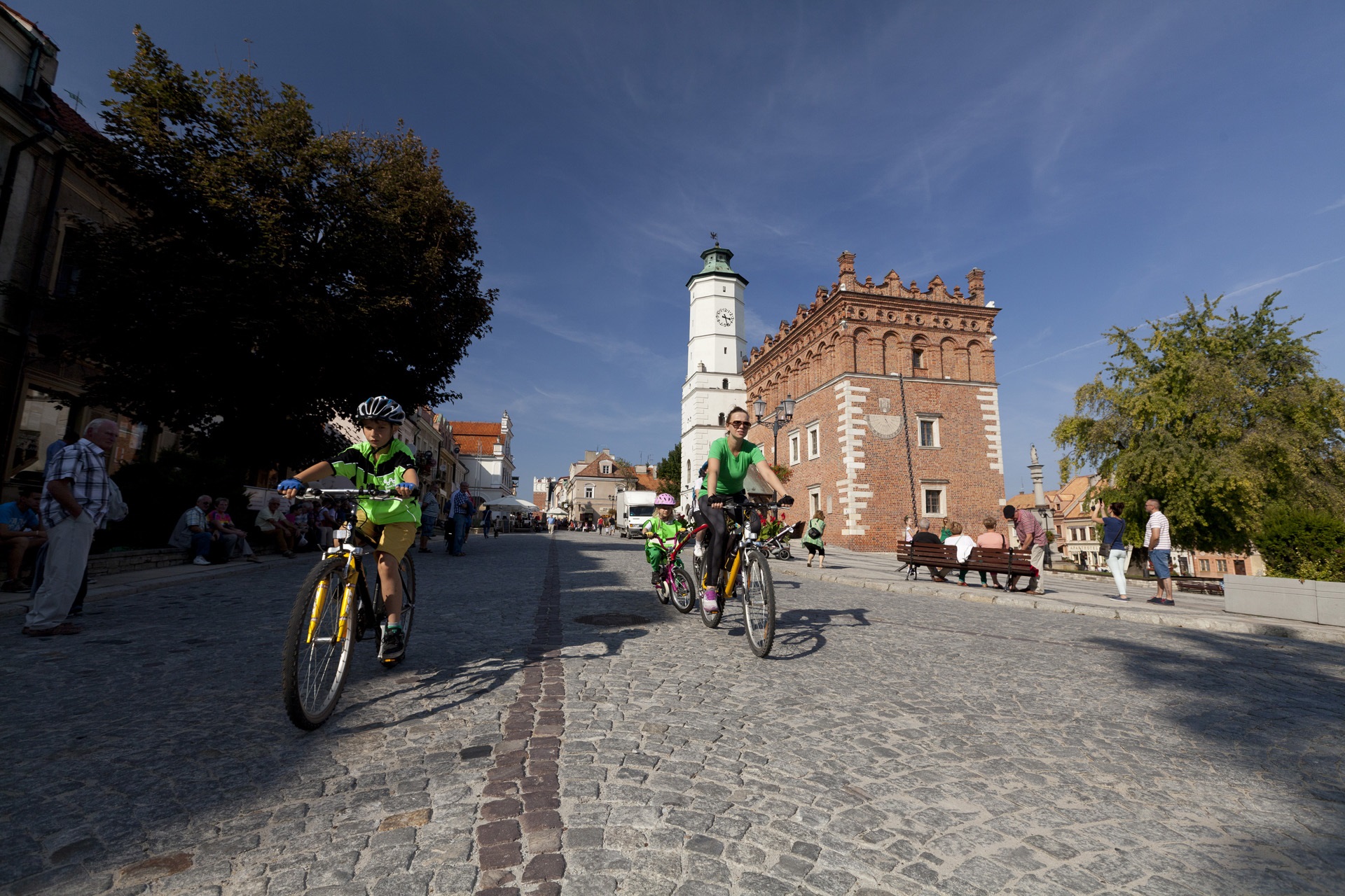
The yellow Opatów - Sandomierz trail is a slightly over 30-kilometers long, recreational bike trail, connecting the two historical, beautiful cities, full of monuments in the Świetokrzyska District.
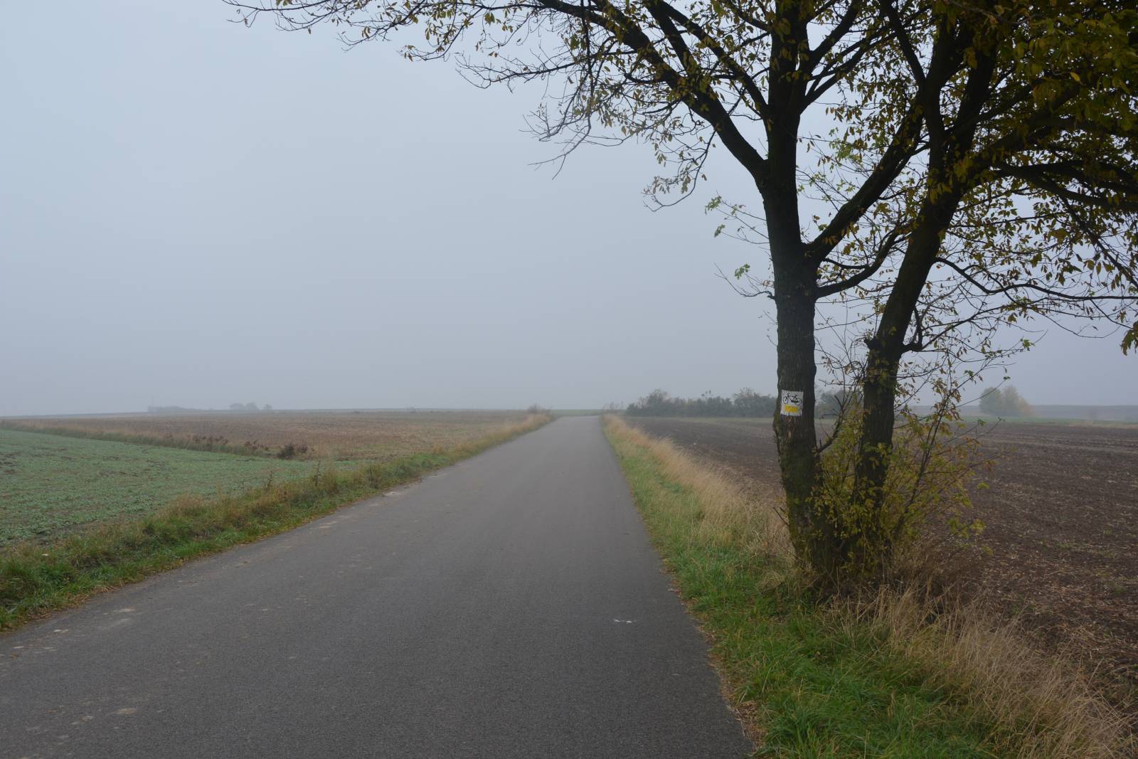
The trail is well marked, it is mainly run by local roads with low traffic volume and a good asphalt pavement, there are no large ascents, nor descents.
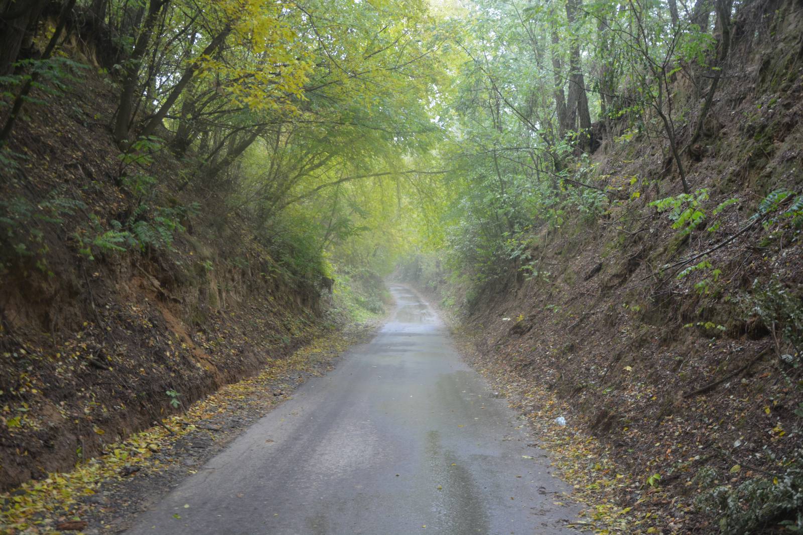
The route is scenic, its sections run through loess ravines, among apple orchards and the Świętokrzyskie hills. The route is accessible for all types of bicycles, and the section of a dirt road between Dobrocice and Pęczyn, ca. 1.5 km long, which may cause problems for users of racing bikes, can be bypassed using a parallel asphalt road.
The general course of the trail is as follows: Opatów, Stefanii Sempolowskiej street, bus terminal (0.0 km) - Karwów (5.0 km) - Malice Kościelne (9.1 km) - Martyrs (10.1 km) - Pielaszów (12.8 km) - Dobrocice (14.7) km) - Pęczyny (16.2 km) - Docharzów (21.6 km) - Radoszki (23.7 km) - Sandomierz (33.0 km).
The route starts in Opatów, a city with many interesting historical sights. The city is more than 700 years old, and which was witnessed by the St. Martin Romanesque collegiate church, the Bernardine monastery with Opatów Dungeons. The city lies on the Opatówka river, and the trail will run along this river for more than 20 kilometres. The river is more than 50 kilometres long and it drains the Świętokrzyskie Mountains area. It flows towards the east, crossing the Sandomierz Upland and falling into the Vistula River, north of the city of Sandomierz.
The trail starts in the north-eastern part of the city, on national road no. 74, heading for the city of Lublin, about 200 meters from the city centre. The trail runs on country side roads with a surprisingly good asphalt pavement. Along the way, you go past numerous small villages and the landscape is hilly, typical of the Świętokrzyskie region. The area is not very densely populated, picturesque and used for agricultural purposes. The further you go towards the city Sandomierz, the more fruit orchards you can see along the way. Here and there, the route crosses loess ravines typical of this area.
Between the localities of Dobrocice and Pęczyn, through a short section behind the bridge on the Opatówka river, the trail runs on a dirt road with a poor pavement, but behind the locality of Pęczyny it returns back to the asphalt pavement, which you will enjoy almost until the end of the route.
The route runs from the north to the city of Sandomierz, through Wojska Polskiego, Żeromskiego and Koseły streets, passing a complex of military buildings that are the barracks of the radio engineering battalion. Near the finishing point of the trail, there are the Sandomierz ravines - the Queen Hedwig Ravine and the Piszczele Ravine, which should be on your must-see list during your bike trip. At the end of the route, it is worth seeing the historic sights of Sandomierz, including the historic, elevated centre, the Royal Castle, numerous churches and the underground tourist route.
Points of interest along the trail:
- Opatów - Romanesque Collegiate Church, monastery, dungeons
- Sandomierz - numerous monuments, underground tourist route, urban layout
- The Opatówka river valley - loess ravines, picturesque views
The entire trail is suitable for bicycles with panniers/bike trailers. The trail uses solely roads with no motor vehicle traffic allowed, or local roads with a low and very low vehicle traffic; no dangerous intersections. A recreational trail.
Starting point:
Opatów, Stefanii Sempołowskiej street
Finishing point:
Sandomierz, Koseły street